 Duffield
Itmann
Fincastle
Hondo
Lithopolis
Salem
Coeburn
Asheboro
Advance
Jonesboro
Falfurrias
Felton
Sikeston
Fredonia
Angola
Grand Island
Belvidere
Warren
Irvine
Duffield
Itmann
Fincastle
Hondo
Lithopolis
Salem
Coeburn
Asheboro
Advance
Jonesboro
Falfurrias
Felton
Sikeston
Fredonia
Angola
Grand Island
Belvidere
Warren
Irvine
Frederick on the map, United States
Where is located Frederick
Exact location — Frederick, Frederick County, Maryland, United States, marked on the map with a red marker.
Coordinates
Frederick, United States coordinates in decimal format: latitude — 39.4142688, longitude — -77.4105409. When converted to degrees, minutes, seconds Frederick has the following coordinates: 39°24′51.37 north latitude and -77°24′37.95 east longitude.
Population
Frederick, Frederick County, Maryland, United States, according to our data the population is — 57,297 residents, which is about 0% of the total population of the country (United States).
Comparison of the population on the graph:
Exact time
Time zone for this location Frederick — UTC -4 America/New_York. Exact time — saturday, 4 april 2024 year, 01 h. 02 minutes.
Sunrise and sunset
Frederick, sunrise and sunset data for a date — saturday 27.04.2024.
| Sunrise | Sunset | Day (duration) |
|---|---|---|
| 06:17 -2 minutes | 19:56 +1 minute | 13 h. 42 minutes. +3 minutes |
You can control the scale of the map using the auxiliary tools to find out exactly where it is located Frederick. When you change the scale of the map, the width of the ruler also changes (in kilometers and miles).
Nearby cities
The largest cities that are located nearby:
- Baltimore — 70 km
- Alexandria — 74 km
- Philadelphia — 199 km
- Richmond — 207 km
- Allentown — 208 km
- Pittsburgh — 245 km
- Toms River — 279 km
- Hampton — 280 km
- Edison — 280 km
- Norfolk — 300 km
- Elizabeth — 302 km
- Newark — 308 km
- Chesapeake — 309 km
- Virginia Beach — 310 km
- Paterson — 318 km
- New York — 319 km
- Brooklyn — 319 km
- Yonkers — 338 km
- Stamford — 370 km
Distance to neighboring capitals:
- Ottawa
 (Canada) — 683 km
 - Belmopan
 (Belize) — 2699 km
 - Guatemala City
 (Guatemala) — 3042 km
 - Mexico City
 (Mexico) — 3044 km
 - Nuuk
 (Greenland) — 3223 km
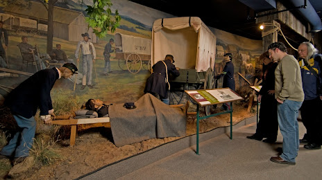
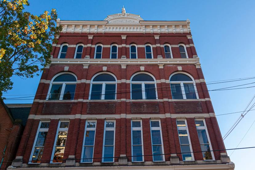
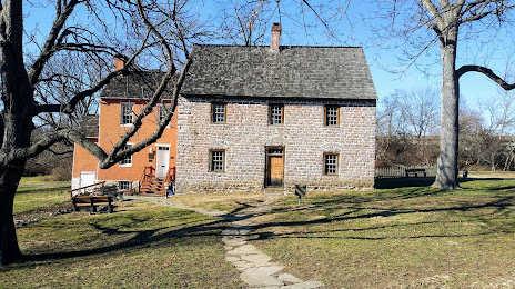
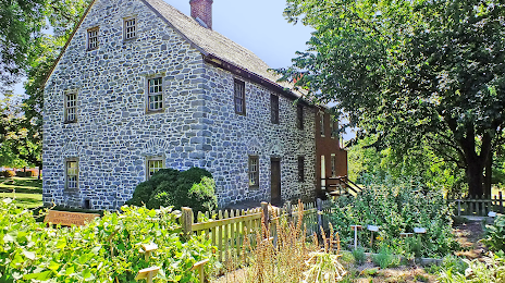
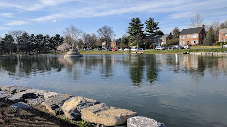
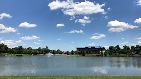
Attractions


Distance to the capital
Distance to the capital (Washington) is about — 65 km.