Wilkes-Barre — Saunders
Wilkes-Barre — Dinero
Wilkes-Barre — Unalakleet
Wilkes-Barre — Sardis
Wilkes-Barre — Bingham Canyon
Wilkes-Barre — Cecil-Bishop
Wilkes-Barre — Bellport
Wilkes-Barre — Mineral Bluff
Wilkes-Barre — Murrayville
Wilkes-Barre — Radcliff
Wilkes-Barre — Tenino
Wilkes-Barre — Fayetteville
Wilkes-Barre — Catawissa
Wilkes-Barre — Wheelock
Wilkes-Barre — Scobey
Wilkes-Barre — Ford Airport
Wilkes-Barre — Lamar County
Wilkes-Barre — Parkersburg
Wilkes-Barre — Berlin
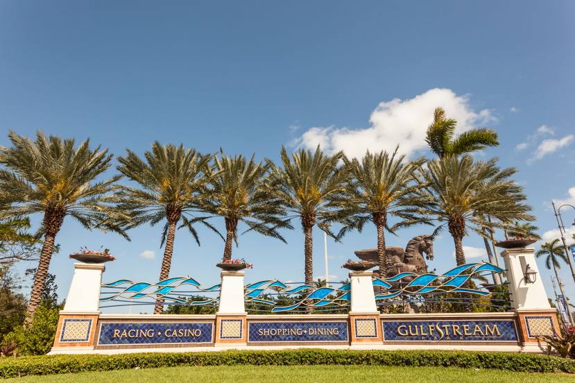
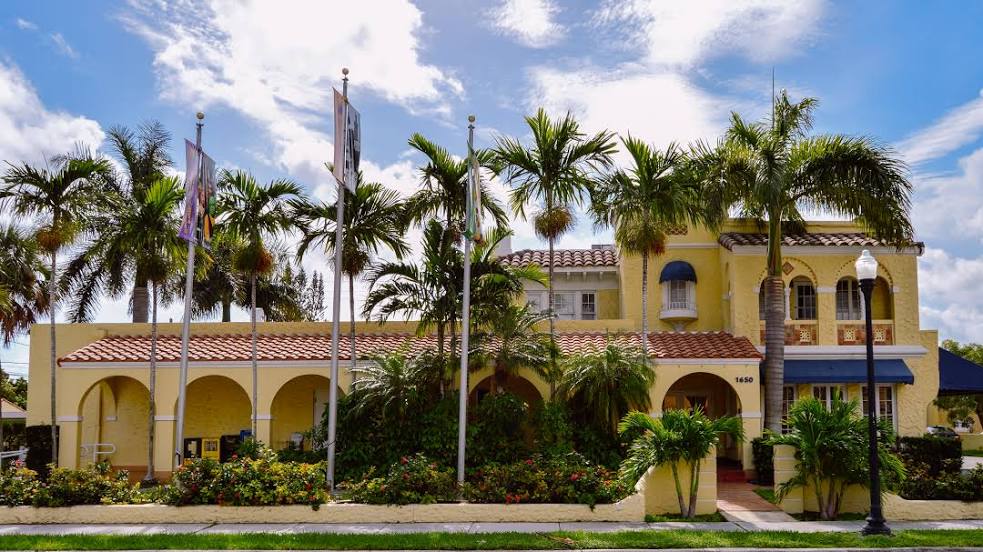
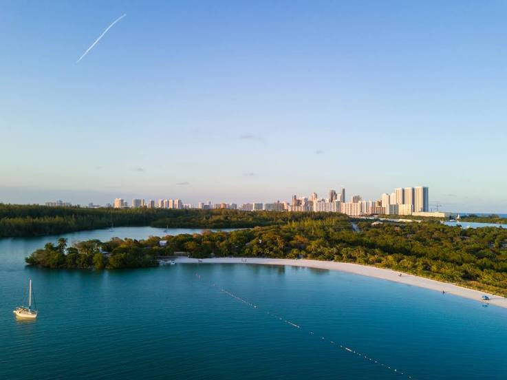
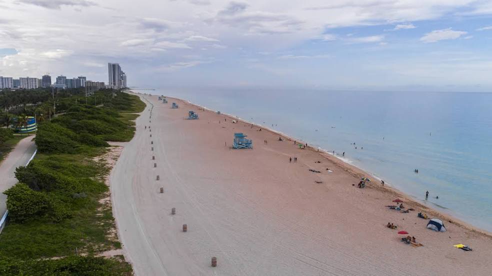
Wilkes-Barre — Hallandale Beach distance, route on the map
Distance by car
Distance between Wilkes-Barre, Pennsylvania, United States and Hallandale Beach, Florida, United States by car is — km, or miles. To travel this distance by car, you need minute, or h.
Route on the map, driving directions
Car route Wilkes-Barre — Hallandale Beach was created automatically. The road on the map is shown as a blue line. By moving the markers, you can create a new route through the points you need.
Distance by plane
If you decide to take a trip Wilkes-Barre Hallandale Beach by plane, then you have to fly the distance — 1743 km or 1081 miles. It is marked on the map with a gray line (between two points in a straight line).
Flight time
Estimated flight time Wilkes-Barre Hallandale Beach by plane at cruising speed 750 km / h will be — 2 h. and 19 min.
Direction of movement
United States, Wilkes-Barre — right-hand traffic. United States, Hallandale Beach — right-hand traffic.
Difference in time
Wilkes-Barre and Hallandale Beach are in the same time zone. Between them there is no time difference (UTC -4 America/New_York).
Interesting Facts
Information on alternative ways to get to your destination.
The length of this distance is about 4.3% of the total length of the equator.
The percentage of the population is clearly shown in the graph:
Wilkes-Barre — 40,736, Hallandale Beach — 37,113 residents (less by 3,623).
The cost of travel
Calculate the cost of the trip yourself using the fuel consumption calculator, changing the data in the table.