Tinley Park — Horton
Tinley Park — Marlow
Tinley Park — Reno
Tinley Park — Calabasas
Tinley Park — Silverdale
Tinley Park — Natalia
Tinley Park — Algoma
Tinley Park — Lac du Flambeau
Tinley Park — Clymer
Tinley Park — Crystal Bay
Tinley Park — Avery
Tinley Park — San Benito
Tinley Park — Haleyville
Tinley Park — Fairdale
Tinley Park — Lititz
Tinley Park — Kathleen
Tinley Park — Williamstown
Tinley Park — Chautauqua
Tinley Park — Clint
Joliet
Channahon
Minooka
Wilmington
Braidwood
Braceville
South Wilmington
Dwight Airport
Dwight
Odell
Chenoa
Normal
Bloomington
Lincoln
Glenarm
Divernon
Waggoner
Litchfield
Gillespie
Worden
Hamel
Edwardsville
Glen Carbon
Collinsville
Caseyville
Granite City
East Saint Louis
St. Louis
St. Louis
Clayton
Kirkwood
Fenton
Eureka
Gray Summit
Villa Ridge
Bourbon
Rolla
Fort Leonard Wood
Saint Robert
Stoutland
Laclede County
Niangua
Springfield
Republic
Bois D'Arc
Halltown
Miller
Sarcoxie
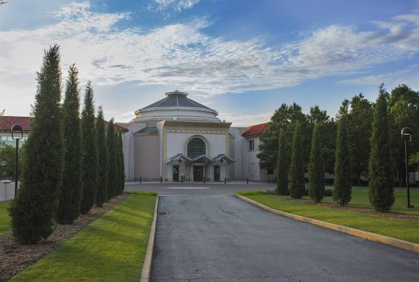
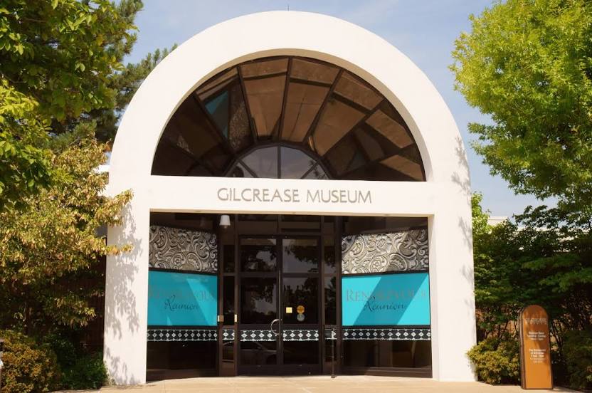
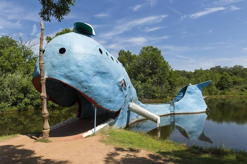
Tinley Park — Tulsa distance, route on the map
Distance by car
Distance between Tinley Park, Illinois, United States and Tulsa, Oklahoma, United States by car is — km, or miles. To travel this distance by car, you need minute, or h.
Route on the map, driving directions
Car route Tinley Park — Tulsa was created automatically. The road on the map is shown as a blue line. By moving the markers, you can create a new route through the points you need.
Passing cities through which the car route passes: Mokena, Joliet, Channahon, Minooka, Wilmington, Braidwood, Braceville, South Wilmington, Dwight Airport, Dwight, Odell, Chenoa, Normal, Bloomington, Lincoln, Glenarm, Divernon, Waggoner, Litchfield, Gillespie, Worden, Hamel, Edwardsville, Glen Carbon, Collinsville, Caseyville, Granite City, East Saint Louis, St. Louis, St. Louis, Clayton, Kirkwood, Fenton, Eureka, Gray Summit, Villa Ridge, Bourbon, Rolla, Fort Leonard Wood, Saint Robert, Stoutland, Laclede County, Niangua, Springfield, Republic, Bois D'Arc, Halltown, Miller, Sarcoxie.
Distance by plane
If you decide to take a trip Tinley Park Tulsa by plane, then you have to fly the distance — 931 km or 577 miles. It is marked on the map with a gray line (between two points in a straight line).
Flight time
Estimated flight time Tinley Park Tulsa by plane at cruising speed 750 km / h will be — 1 h. and 14 min.
Direction of movement
United States, Tinley Park — right-hand traffic. United States, Tulsa — right-hand traffic.
Difference in time
Tinley Park and Tulsa are in the same time zone. Between them there is no time difference (UTC -5 America/Chicago).
Interesting Facts
Information on alternative ways to get to your destination.
The length of this distance is about 2.3% of the total length of the equator.
The percentage of the population is clearly shown in the graph:
Tinley Park — 57,244 (less by 324,761), Tulsa — 382,005 residents.
The cost of travel
Calculate the cost of the trip yourself using the fuel consumption calculator, changing the data in the table.