Alabaster — Coleman Falls
Alabaster — Rosa
Alabaster — Old Orchard Beach
Alabaster — Urbana
Alabaster — Wakefield
Alabaster — Georgetown
Alabaster — Necedah
Alabaster — McNair
Alabaster — Murchison
Alabaster — Terlingua
Alabaster — Island Pond
Alabaster — Minto
Alabaster — Tyonek
Alabaster — French Lick
Alabaster — Johnsonburg
Alabaster — Norma
Alabaster — Gladstone
Alabaster — Juliustown
Alabaster — Auburn
Jemison
Thorsby
Clanton
Verbena
Marbury
Deatsville
Prattville
Millbrook
Montgomery
Hope Hull
Letohatchee
Georgiana
Castleberry
Atmore
Perdido
Satsuma
Saraland
Chickasaw
Alabaster — Mobile distance, route on the map
Distance by car
Distance between Alabaster, Alabama, United States and Mobile, Alabama, United States by car is — km, or miles. To travel this distance by car, you need minute, or h.
Route on the map, driving directions
Car route Alabaster — Mobile was created automatically. The road on the map is shown as a blue line. By moving the markers, you can create a new route through the points you need.
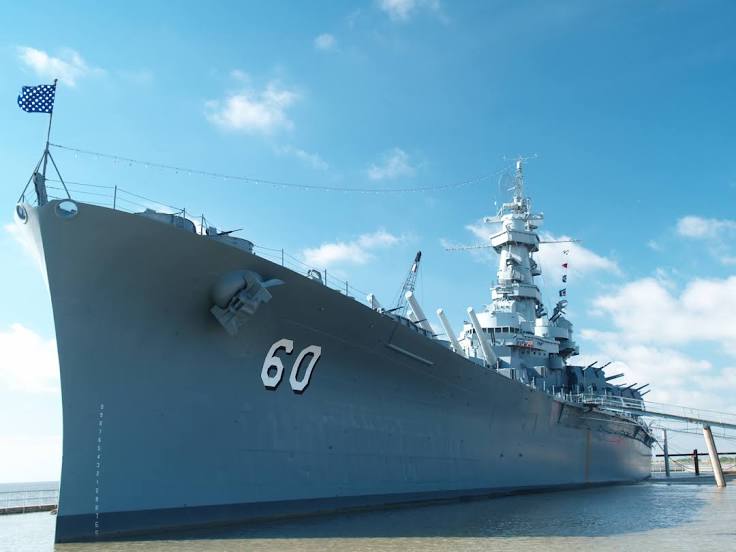
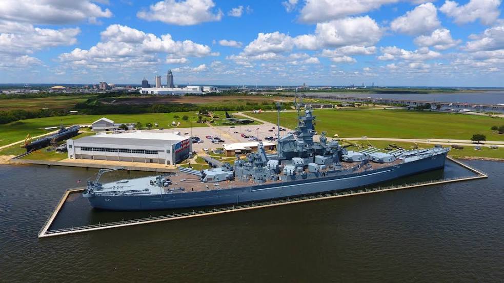
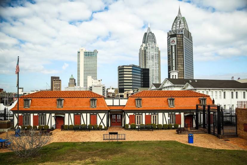
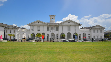
Passing cities through which the car route passes: Calera, Jemison, Thorsby, Clanton, Verbena, Marbury, Deatsville, Prattville, Millbrook, Montgomery, Hope Hull, Letohatchee, Georgiana, Castleberry, Atmore, Perdido, Satsuma, Saraland, Chickasaw.
Distance by plane
If you decide to take a trip Alabaster Mobile by plane, then you have to fly the distance — 306 km or 190 miles. It is marked on the map with a gray line (between two points in a straight line).
Flight time
Estimated flight time Alabaster Mobile by plane at cruising speed 750 km / h will be — 24 min.
Direction of movement
United States, Alabaster — right-hand traffic. United States, Mobile — right-hand traffic.
Difference in time
Alabaster and Mobile are in the same time zone. Between them there is no time difference (UTC -5 America/Chicago).
Interesting Facts
Information on alternative ways to get to your destination.
The length of this distance is about 0.8% of the total length of the equator.
The percentage of the population is clearly shown in the graph:
Alabaster — 26,738 (less by 163,536), Mobile — 190,274 residents.
The cost of travel
Calculate the cost of the trip yourself using the fuel consumption calculator, changing the data in the table.