 Pittsburgh
Lafayette
Auburn
Greenwood
Brentwood
LaGrange
Lincoln
Nantucket
Woodstock
Ennis
Brandywine
Sperryville
Woodland
Romeoville
Minooka
Hildale
Channahon
Glen Cove
Portage
Pittsburgh
Lafayette
Auburn
Greenwood
Brentwood
LaGrange
Lincoln
Nantucket
Woodstock
Ennis
Brandywine
Sperryville
Woodland
Romeoville
Minooka
Hildale
Channahon
Glen Cove
Portage
Lynchburg on the map, United States
Where is located Lynchburg
Exact location — Lynchburg, Virginia, United States, marked on the map with a red marker.
Coordinates
Lynchburg, United States coordinates in decimal format: latitude — 37.4137536, longitude — -79.1422464. When converted to degrees, minutes, seconds Lynchburg has the following coordinates: 37°24′49.51 north latitude and -79°8′32.09 east longitude.
Population
Lynchburg, Virginia, United States, according to our data the population is — 65,517 residents, which is about 0% of the total population of the country (United States).
Comparison of the population on the graph:
Exact time
Time zone for this location Lynchburg — UTC -4 America/New_York. Exact time — friday, 4 april 2024 year, 12 h. 30 minutes.
Sunrise and sunset
Lynchburg, sunrise and sunset data for a date — friday 26.04.2024.
| Sunrise | Sunset | Day (duration) |
|---|---|---|
| 06:29 -1 minute | 19:59 +1 minute | 13 h. 30 minutes. +2 minutes |
You can control the scale of the map using the auxiliary tools to find out exactly where it is located Lynchburg. When you change the scale of the map, the width of the ruler also changes (in kilometers and miles).
Nearby cities
The largest cities that are located nearby:
- Richmond — 150 km
- Durham — 158 km
- Greensboro — 159 km
- Winston-Salem — 175 km
- Cary — 182 km
- Raleigh — 186 km
- Alexandria — 237 km
- Hampton — 251 km
- Norfolk — 260 km
- Fayetteville — 262 km
- Chesapeake — 263 km
- Charlotte — 286 km
- Virginia Beach — 287 km
- Baltimore — 300 km
- Pittsburgh — 342 km
- Columbia — 415 km
- Columbus — 431 km
- Philadelphia — 439 km
- Akron — 451 km
Distance to neighboring capitals:
- Ottawa
 (Canada) — 936 km
 - Belmopan
 (Belize) — 2432 km
 - Guatemala City
 (Guatemala) — 2774 km
 - Mexico City
 (Mexico) — 2785 km
 - Nuuk
 (Greenland) — 3486 km
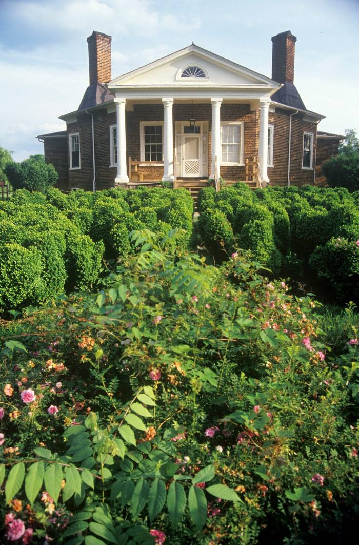
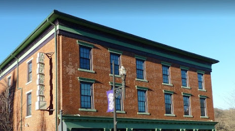
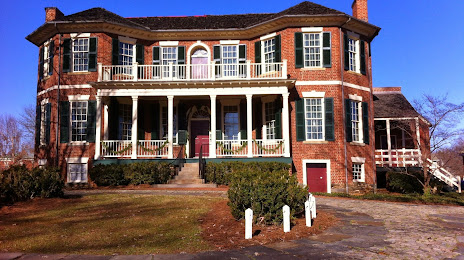
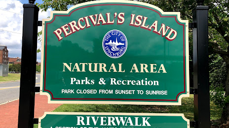
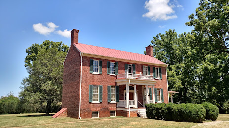
Attractions


Distance to the capital
Distance to the capital (Washington) is about — 248 km.