Toms River — Warm Springs
Toms River — Brookneal
Toms River — Sparta
Toms River — Central Park
Toms River — Page County
Toms River — Groveland
Toms River — Fulda
Toms River — Rome
Toms River — Lytle
Toms River — Ney
Toms River — Poseyville
Toms River — Cayce
Toms River — Salem
Toms River — Conyers
Toms River — San Jose
Toms River — Palmer
Toms River — Kenney
Toms River — Hickory Ridge
Toms River — Savannah
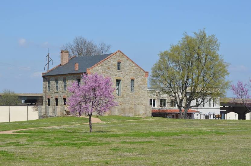
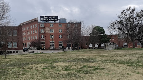
Toms River — Fort Smith distance, route on the map
Distance by car
Distance between Toms River, New Jersey, United States and Fort Smith, Arkansas, United States by car is — km, or miles. To travel this distance by car, you need minute, or h.
Route on the map, driving directions
Car route Toms River — Fort Smith was created automatically. The road on the map is shown as a blue line. By moving the markers, you can create a new route through the points you need.
Distance by plane
If you decide to take a trip Toms River Fort Smith by plane, then you have to fly the distance — 1845 km or 1144 miles. It is marked on the map with a gray line (between two points in a straight line).
Flight time
Estimated flight time Toms River Fort Smith by plane at cruising speed 750 km / h will be — 2 h. and 27 min.
Direction of movement
United States, Toms River — right-hand traffic. United States, Fort Smith — right-hand traffic.
Difference in time
Toms River and Fort Smith are in different time zones. The time difference is 1 hour (UTC -4 America/New_York, UTC -5 America/Chicago).
Interesting Facts
Information on alternative ways to get to your destination.
The length of this distance is about 4.6% of the total length of the equator.
The percentage of the population is clearly shown in the graph:
Toms River — 119,088, Fort Smith — 81,985 residents (less by 37,103).
The cost of travel
Calculate the cost of the trip yourself using the fuel consumption calculator, changing the data in the table.
Calculate the cost of other distances from the starting point — Toms River.