Half Moon Bay — Nodaway County
Half Moon Bay — Hurricane
Half Moon Bay — East Corinth
Half Moon Bay — Mapleton
Half Moon Bay — North Dakota
Half Moon Bay — Anchorage
Half Moon Bay — Berlin Township
Half Moon Bay — Urbanna
Half Moon Bay — Trafford
Half Moon Bay — Hanna
Half Moon Bay — Mount Tremper
Half Moon Bay — Waverly
Half Moon Bay — Roundhill
Half Moon Bay — Jacksonville
Half Moon Bay — Pender
Half Moon Bay — Lindsborg
Half Moon Bay — Parsippany-Troy Hills
Half Moon Bay — Huxley
Half Moon Bay — Angostura
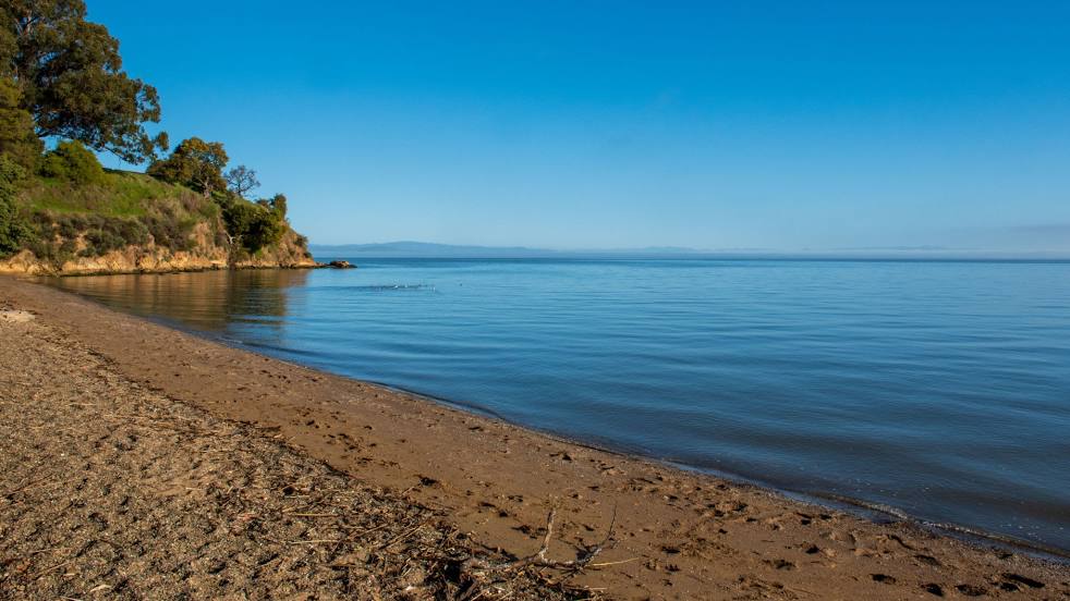
Moss Beach
Montara
Pacifica
Daly City
San Francisco County
San Francisco
San Francisco
Emeryville
Albany
El Cerrito
Half Moon Bay — Nodaway County
Half Moon Bay — Hurricane
Half Moon Bay — East Corinth
Half Moon Bay — Mapleton
Half Moon Bay — North Dakota
Half Moon Bay — Anchorage
Half Moon Bay — Berlin Township
Half Moon Bay — Urbanna
Half Moon Bay — Trafford
Half Moon Bay — Hanna
Half Moon Bay — Mount Tremper
Half Moon Bay — Waverly
Half Moon Bay — Roundhill
Half Moon Bay — Jacksonville
Half Moon Bay — Pender
Half Moon Bay — Lindsborg
Half Moon Bay — Parsippany-Troy Hills
Half Moon Bay — Huxley
Half Moon Bay — Angostura
Moss Beach
Montara
Pacifica
Daly City
San Francisco County
San Francisco
San Francisco
Emeryville
Albany
El Cerrito
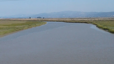
Half Moon Bay — San Pablo distance, route on the map
Distance by car
Distance between Half Moon Bay, California, United States and San Pablo, California, United States by car is — km, or miles. To travel this distance by car, you need minute, or h.
Route on the map, driving directions
Car route Half Moon Bay — San Pablo was created automatically. The road on the map is shown as a blue line. By moving the markers, you can create a new route through the points you need.
Passing cities through which the car route passes: El Granada, Moss Beach, Montara, Pacifica, Daly City, San Francisco County, San Francisco, San Francisco, Emeryville, Albany, El Cerrito.
Distance by plane
If you decide to take a trip Half Moon Bay San Pablo by plane, then you have to fly the distance — 56 km or 35 miles. It is marked on the map with a gray line (between two points in a straight line).
Flight time
Estimated flight time Half Moon Bay San Pablo by plane at cruising speed 750 km / h will be — 4 min.
Direction of movement
United States, Half Moon Bay — right-hand traffic. United States, San Pablo — right-hand traffic.
Difference in time
Half Moon Bay and San Pablo are in the same time zone. Between them there is no time difference (UTC -7 America/Los_Angeles).
Interesting Facts
Information on alternative ways to get to your destination.
The length of this distance is about 0.1% of the total length of the equator.
The percentage of the population is clearly shown in the graph:
Half Moon Bay — 12,423 (less by 18,928), San Pablo — 31,351 residents.
The cost of travel
Calculate the cost of the trip yourself using the fuel consumption calculator, changing the data in the table.