Abingdon — Dodge City
Abingdon — Elmwood
Abingdon — Scio
Abingdon — El Jebel
Abingdon — Boyden
Abingdon — Rio Rico
Abingdon — Morgan County
Abingdon — Huttig
Abingdon — Grand Isle
Abingdon — Mequon
Abingdon — Pinellas County
Abingdon — Colden
Abingdon — Grayville
Abingdon — Notre Dame
Abingdon — Wales
Abingdon — Watkins
Abingdon — Salado
Abingdon — Wellsboro
Abingdon — Hostetter
Saint Paul
Coeburn
Tacoma
Wise
Norton
Pound
Jenkins
Neon
Whitesburg
Isom
Redfox
Sassafras
Scuddy
Hazard
Bonnyman
Blue Diamond
Ned
Clayhole
Slade
Lexington
Midway
Frankfort
Capital City Airport
Waddy
Jeffersontown
Louisville
Saint Matthews
Jeffersonville
Clarksville
Lanesville
Crandall
Corydon
Leavenworth
Ferdinand
Folsomville
Lynnville
Haubstadt
Poseyville
New Harmony
Grayville
Burnt Prairie
Mill Shoals
Barnhill
Keenes
Bluford
Opdyke
Bonnie
Richview
Hoyleton
Okawville
New Baden
Mascoutah
Shiloh
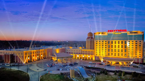
Abingdon — Maryland Heights distance, route on the map
Distance by car
Distance between Abingdon, Virginia, United States and Maryland Heights, Missouri, United States by car is — km, or miles. To travel this distance by car, you need minute, or h.
Route on the map, driving directions
Car route Abingdon — Maryland Heights was created automatically. The road on the map is shown as a blue line. By moving the markers, you can create a new route through the points you need.
Passing cities through which the car route passes: Zenobia, Saint Paul, Coeburn, Tacoma, Wise, Norton, Pound, Jenkins, Neon, Whitesburg, Isom, Redfox, Sassafras, Scuddy, Hazard, Bonnyman, Blue Diamond, Ned, Clayhole, Slade, Lexington, Midway, Frankfort, Capital City Airport, Waddy, Jeffersontown, Louisville, Saint Matthews, Jeffersonville, Clarksville, Lanesville, Crandall, Corydon, Leavenworth, Ferdinand, Folsomville, Lynnville, Haubstadt, Poseyville, New Harmony, Grayville, Burnt Prairie, Mill Shoals, Barnhill, Keenes, Bluford, Opdyke, Bonnie, Richview, Hoyleton, Okawville, New Baden, Mascoutah, Shiloh.
Distance by plane
If you decide to take a trip Abingdon Maryland Heights by plane, then you have to fly the distance — 776 km or 481 miles. It is marked on the map with a gray line (between two points in a straight line).
Flight time
Estimated flight time Abingdon Maryland Heights by plane at cruising speed 750 km / h will be — 1 h. and 2 min.
Direction of movement
United States, Abingdon — right-hand traffic. United States, Maryland Heights — right-hand traffic.
Difference in time
Abingdon and Maryland Heights are in different time zones. The time difference is 1 hour (UTC -4 America/New_York, UTC -5 America/Chicago).
Interesting Facts
Information on alternative ways to get to your destination.
The length of this distance is about 1.9% of the total length of the equator.
The percentage of the population is clearly shown in the graph:
Abingdon — 7,735 (less by 17,576), Maryland Heights — 25,311 residents.
The cost of travel
Calculate the cost of the trip yourself using the fuel consumption calculator, changing the data in the table.