 Sudlersville
Monroe
Craigmont
Ritzville
Moyie Springs
Ketchum
Kendrick
Algonquin
Bushton
Winterset
Anza
Fort Morgan
Glenwood Springs
Watkins
Keota
Rock Rapids
Mansfield Airport
Park Ridge
Condon
Sudlersville
Monroe
Craigmont
Ritzville
Moyie Springs
Ketchum
Kendrick
Algonquin
Bushton
Winterset
Anza
Fort Morgan
Glenwood Springs
Watkins
Keota
Rock Rapids
Mansfield Airport
Park Ridge
Condon
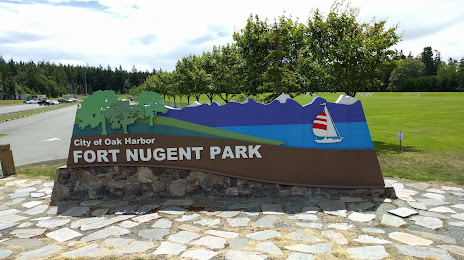
Oak Harbor on the map, United States
Where is located Oak Harbor
Exact location — Oak Harbor, Island County, Washington, United States, marked on the map with a red marker.
Coordinates
Oak Harbor, United States coordinates in decimal format: latitude — 48.2931559, longitude — -122.6432245. When converted to degrees, minutes, seconds Oak Harbor has the following coordinates: 48°17′35.36 north latitude and -122°38′35.61 east longitude.
Population
Oak Harbor, Island County, Washington, United States, according to our data the population is — 22,031 residents, which is about 0% of the total population of the country (United States).
Comparison of the population on the graph:
Exact time
Time zone for this location Oak Harbor — UTC -7 America/Los_Angeles. Exact time — thursday, 4 april 2024 year, 19 h. 38 minutes.
Sunrise and sunset
Oak Harbor, sunrise and sunset data for a date — thursday 25.04.2024.
| Sunrise | Sunset | Day (duration) |
|---|---|---|
| 06:03 -2 minutes | 20:12 +1 minute | 14 h. 12 minutes. +3 minutes |
You can control the scale of the map using the auxiliary tools to find out exactly where it is located Oak Harbor. When you change the scale of the map, the width of the ruler also changes (in kilometers and miles).
Nearby cities
The largest cities that are located nearby:
- Victoria
 (Canada) — 55 km
 - Seattle — 79 km
- Bellevue — 82 km
- Abbotsford (Canada) — 87 km
- Delta (Canada) — 93 km
- Surrey (Canada) — 100 km
- Richmond (Canada) — 103 km
- Coquitlam (Canada) — 110 km
- Burnaby (Canada) — 110 km
- Anmore (Canada) — 114 km
- Vancouver (Canada) — 115 km
- Tacoma — 116 km
- Kelowna (Canada) — 285 km
- Portland — 306 km
- Salem — 372 km
- Spokane — 395 km
- Eugene — 470 km
- Calgary (Canada) — 669 km
- Boise — 729 km
Distance to neighboring capitals:
- Ottawa (Canada) — 3529 km
- Mexico City
 (Mexico) — 3842 km
 - Nuuk
 (Greenland) — 4441 km
 - Belmopan
 (Belize) — 4616 km
 - Guatemala City
 (Guatemala) — 4761 km
Attractions


Distance to the capital
Distance to the capital (Washington) is about — 3758 km.