 Town of Lisbon
Mooresville
New Stanton
Turrell
Gilman
Hillsville
Grover
Cabot
Opelousas
Hortonville
Plymouth
Peotone
Knightstown
Travelers Rest
Rising Fawn
Eastaboga
Moulton
Audubon
Higden
Town of Lisbon
Mooresville
New Stanton
Turrell
Gilman
Hillsville
Grover
Cabot
Opelousas
Hortonville
Plymouth
Peotone
Knightstown
Travelers Rest
Rising Fawn
Eastaboga
Moulton
Audubon
Higden
Solana Beach on the map, United States
Where is located Solana Beach
Exact location — Solana Beach, San Diego County, California, United States, marked on the map with a red marker.
Coordinates
Solana Beach, United States coordinates in decimal format: latitude — 32.991155, longitude — -117.2711481. When converted to degrees, minutes, seconds Solana Beach has the following coordinates: 32°59′28.16 north latitude and -117°16′16.13 east longitude.
Population
Solana Beach, San Diego County, California, United States, according to our data the population is — 12,909 residents, which is about 0% of the total population of the country (United States).
Comparison of the population on the graph:
Exact time
Time zone for this location Solana Beach — UTC -7 America/Los_Angeles. Exact time — thursday, 4 april 2024 year, 18 h. 09 minutes.
Sunrise and sunset
Solana Beach, sunrise and sunset data for a date — thursday 25.04.2024.
| Sunrise | Sunset | Day (duration) |
|---|---|---|
| 06:09 -1 minute | 19:24 +1 minute | 13 h. 18 minutes. +2 minutes |
You can control the scale of the map using the auxiliary tools to find out exactly where it is located Solana Beach. When you change the scale of the map, the width of the ruler also changes (in kilometers and miles).
Nearby cities
The largest cities that are located nearby:
- Escondido — 22 km
- Oceanside — 25 km
- San Diego — 32 km
- Chula Vista — 43 km
- Tijuana
 (Mexico) — 57 km
 - Irvine — 90 km
- Costa Mesa — 93 km
- Huntington Beach — 100 km
- Santa Ana — 100 km
- Corona — 101 km
- Orange — 103 km
- Moreno Valley — 105 km
- Garden Grove — 106 km
- Riverside — 107 km
- Anaheim — 110 km
- Fullerton — 114 km
- Long Beach — 121 km
- Fontana — 123 km
- San Bernardino — 124 km
Distance to neighboring capitals:
- Mexico City (Mexico) — 2349 km
- Belmopan
 (Belize) — 3345 km
 - Guatemala City
 (Guatemala) — 3385 km
 - Ottawa
 (Canada) — 3791 km
 - Nuuk
 (Greenland) — 5572 km
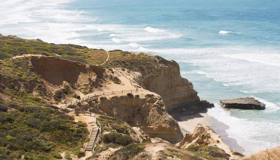
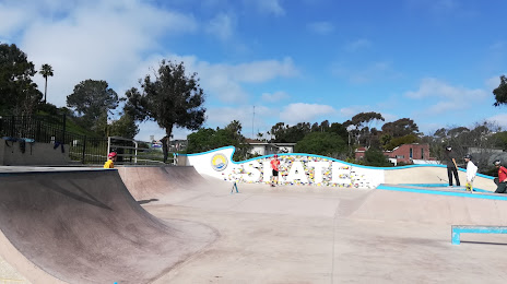
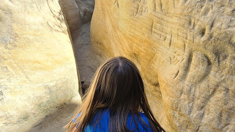
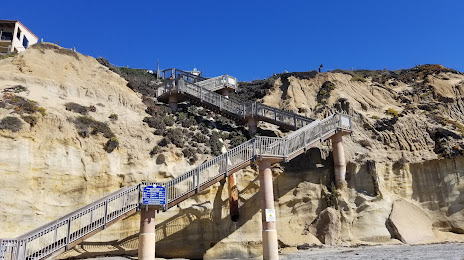
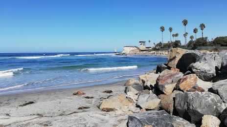
Attractions


Distance to the capital
Distance to the capital (Washington) is about — 3652 km.