Bellows Falls — New Virginia
Bellows Falls — Mooringsport
Bellows Falls — Sarah Ann
Bellows Falls — Frierson
Bellows Falls — Elim
Bellows Falls — Blachly
Bellows Falls — Wirt County
Bellows Falls — John Day
Bellows Falls — Plantation
Bellows Falls — Evans City
Bellows Falls — West Bend
Bellows Falls — Carrollton
Bellows Falls — Sneads Ferry
Bellows Falls — Tallassee Municipal Airport
Bellows Falls — Athens
Bellows Falls — Egan
Bellows Falls — Pemberville
Bellows Falls — Allen County
Bellows Falls — Martell
Keene
Swanzey
Fitzwilliam
Winchendon Springs
Winchendon
Gardner
Fitchburg
Leominster
Leominster
Boylston
Marlborough
Southborough
Westborough
Hopkinton
Mendon
Medway
Bellingham
Franklin
Wrentham
Wrentham
Norton
Raynham
Middleborough
East Wareham
Sandwich
North Falmouth
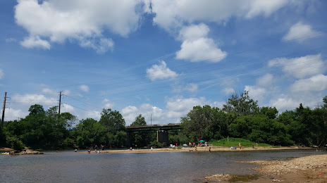
Bellows Falls — Falmouth distance, route on the map
Distance by car
Distance between Bellows Falls, Vermont, United States and Falmouth, Massachusetts, United States by car is — km, or miles. To travel this distance by car, you need minute, or h.
Route on the map, driving directions
Car route Bellows Falls — Falmouth was created automatically. The road on the map is shown as a blue line. By moving the markers, you can create a new route through the points you need.
Passing cities through which the car route passes: Putney, Keene, Swanzey, Fitzwilliam, Winchendon Springs, Winchendon, Gardner, Fitchburg, Leominster, Leominster, Boylston, Marlborough, Southborough, Westborough, Hopkinton, Mendon, Medway, Bellingham, Franklin, Wrentham, Wrentham, Norton, Raynham, Middleborough, East Wareham, Sandwich, North Falmouth.
Distance by plane
If you decide to take a trip Bellows Falls Falmouth by plane, then you have to fly the distance — 232 km or 144 miles. It is marked on the map with a gray line (between two points in a straight line).
Flight time
Estimated flight time Bellows Falls Falmouth by plane at cruising speed 750 km / h will be — 18 min.
Direction of movement
United States, Bellows Falls — right-hand traffic. United States, Falmouth — right-hand traffic.
Difference in time
Bellows Falls and Falmouth are in the same time zone. Between them there is no time difference (UTC -4 America/New_York).
Interesting Facts
Information on alternative ways to get to your destination.
The length of this distance is about 0.6% of the total length of the equator.
The percentage of the population is clearly shown in the graph:
Bellows Falls — 3,030 (less by 56,401), Falmouth — 59,431 residents.
The cost of travel
Calculate the cost of the trip yourself using the fuel consumption calculator, changing the data in the table.