Pilar de la Horadada — Mota del Cuervo
Pilar de la Horadada — Cañaveral
Pilar de la Horadada — La Almolda
Pilar de la Horadada — Bellaguarda
Pilar de la Horadada — Benquerencia
Pilar de la Horadada — Aracena
Pilar de la Horadada — Barcelona
Pilar de la Horadada — Patalavaca
Pilar de la Horadada — Torreorgaz
Pilar de la Horadada — Treceño
Pilar de la Horadada — Cedeira
Pilar de la Horadada — Algerri
Pilar de la Horadada — Suances
Pilar de la Horadada — Monterrubio
Pilar de la Horadada — Meirama
Pilar de la Horadada — Villagarcía de la Torre
Pilar de la Horadada — Espiel
Pilar de la Horadada — Penagos
Pilar de la Horadada — Lleida
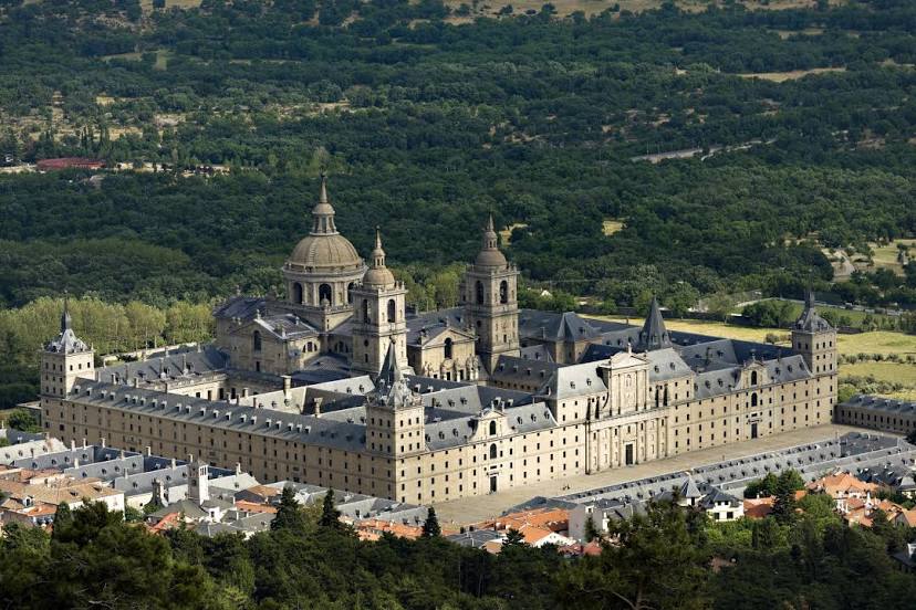
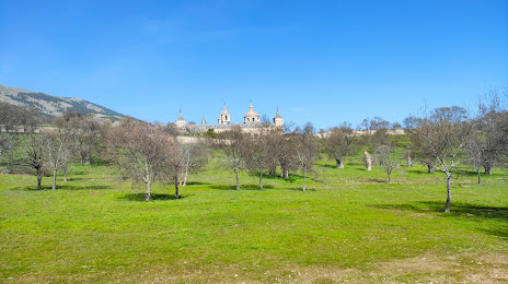
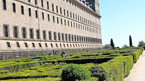
Pilar de la Horadada — San Lorenzo de El Escorial distance, route on the map
Distance by car
Distance between Pilar de la Horadada, Comunidad Valenciana, Spain and San Lorenzo de El Escorial, Comunidad de Madrid, Spain by car is — km, or miles. To travel this distance by car, you need minute, or h.
Route on the map, driving directions
Car route Pilar de la Horadada — San Lorenzo de El Escorial was created automatically. The road on the map is shown as a blue line. By moving the markers, you can create a new route through the points you need.
Distance by plane
If you decide to take a trip Pilar de la Horadada San Lorenzo de El Escorial by plane, then you have to fly the distance — 419 km or 260 miles. It is marked on the map with a gray line (between two points in a straight line).
Flight time
Estimated flight time Pilar de la Horadada San Lorenzo de El Escorial by plane at cruising speed 750 km / h will be — 33 min.
Direction of movement
Spain, Pilar de la Horadada — right-hand traffic. Spain, San Lorenzo de El Escorial — right-hand traffic.
Difference in time
Pilar de la Horadada and San Lorenzo de El Escorial are in the same time zone. Between them there is no time difference (UTC +2 Europe/Madrid).
Interesting Facts
Information on alternative ways to get to your destination.
The length of this distance is about 1.0% of the total length of the equator.
The percentage of the population is clearly shown in the graph:
Pilar de la Horadada — 14,874, San Lorenzo de El Escorial — 14,422 residents (less by 452).
The cost of travel
Calculate the cost of the trip yourself using the fuel consumption calculator, changing the data in the table.