Copperhill — Millican
Copperhill — Adelaida
Copperhill — North Carver
Copperhill — Taos Pueblo
Copperhill — Massachusetts
Copperhill — Holly Ridge
Copperhill — Hauula
Copperhill — Saint Marys
Copperhill — East Aurora
Copperhill — Mount Pleasant
Copperhill — Almena Airport
Copperhill — Rockingham
Copperhill — Gold Canyon
Copperhill — Buchanan County
Copperhill — North Judson
Copperhill — Branson
Copperhill — Morro Bay
Copperhill — Mohegan Lake
Copperhill — Cream
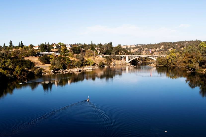
Copperhill — Rancho Cordova distance, route on the map
Distance by car
Distance between Copperhill, Tennessee, United States and Rancho Cordova, California, United States by car is — km, or miles. To travel this distance by car, you need minute, or h.
Route on the map, driving directions
Car route Copperhill — Rancho Cordova was created automatically. The road on the map is shown as a blue line. By moving the markers, you can create a new route through the points you need.
Distance by plane
If you decide to take a trip Copperhill Rancho Cordova by plane, then you have to fly the distance — 3292 km or 2041 miles. It is marked on the map with a gray line (between two points in a straight line).
Flight time
Estimated flight time Copperhill Rancho Cordova by plane at cruising speed 750 km / h will be — 4 h. and 23 min.
Direction of movement
United States, Copperhill — right-hand traffic. United States, Rancho Cordova — right-hand traffic.
Difference in time
Copperhill and Rancho Cordova are in different time zones. The time difference is 3 hours (UTC -4 America/New_York, UTC -7 America/Los_Angeles).
Interesting Facts
Information on alternative ways to get to your destination.
The length of this distance is about 8.2% of the total length of the equator.
The percentage of the population is clearly shown in the graph:
Copperhill — 493 (less by 58,692), Rancho Cordova — 59,185 residents.
The cost of travel
Calculate the cost of the trip yourself using the fuel consumption calculator, changing the data in the table.