Pukwana — Blanchardville
Pukwana — Juneau
Pukwana — Hartshorne
Pukwana — Harman
Pukwana — Hankamer
Pukwana — Huslia
Pukwana — Ray Community Airport
Pukwana — Ponsford
Pukwana — Triangle
Pukwana — Wildwood
Pukwana — Springfield
Pukwana — Southport
Pukwana — Smithburg
Pukwana — Bexar County
Pukwana — Bonaparte
Pukwana — Hartville
Pukwana — Mokane
Pukwana — Amagansett
Pukwana — Beech Bluff
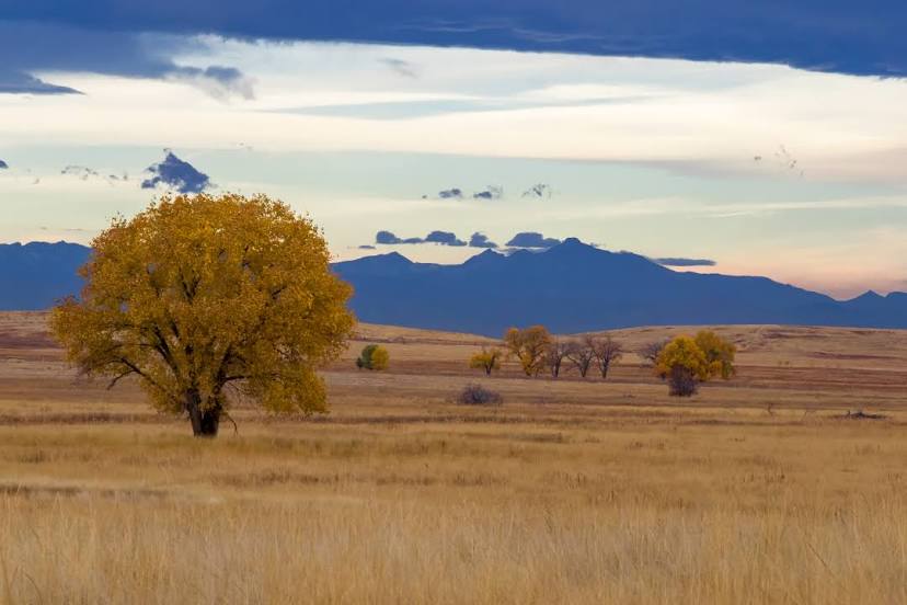
Oacoma
Kennebec
Presho
Murdo
White River
Mellette County
Valentine
Thedford
North Platte
Hershey
Ogallala
Julesburg
Iliff
Sterling
Merino
Hillrose
Brush
Fort Morgan
Wiggins
Roggen
Keenesburg
Hudson
Pukwana — Blanchardville
Pukwana — Juneau
Pukwana — Hartshorne
Pukwana — Harman
Pukwana — Hankamer
Pukwana — Huslia
Pukwana — Ray Community Airport
Pukwana — Ponsford
Pukwana — Triangle
Pukwana — Wildwood
Pukwana — Springfield
Pukwana — Southport
Pukwana — Smithburg
Pukwana — Bexar County
Pukwana — Bonaparte
Pukwana — Hartville
Pukwana — Mokane
Pukwana — Amagansett
Pukwana — Beech Bluff
Oacoma
Kennebec
Presho
Murdo
White River
Mellette County
Valentine
Thedford
North Platte
Hershey
Ogallala
Julesburg
Iliff
Sterling
Merino
Hillrose
Brush
Fort Morgan
Wiggins
Roggen
Keenesburg
Hudson
Pukwana — Brighton distance, route on the map
Distance by car
Distance between Pukwana, South Dakota, United States and Brighton, Colorado, United States by car is — km, or miles. To travel this distance by car, you need minute, or h.
Route on the map, driving directions
Car route Pukwana — Brighton was created automatically. The road on the map is shown as a blue line. By moving the markers, you can create a new route through the points you need.
Passing cities through which the car route passes: Chamberlain, Oacoma, Kennebec, Presho, Murdo, White River, Mellette County, Valentine, Thedford, North Platte, Hershey, Ogallala, Julesburg, Iliff, Sterling, Merino, Hillrose, Brush, Fort Morgan, Wiggins, Roggen, Keenesburg, Hudson.
Distance by plane
If you decide to take a trip Pukwana Brighton by plane, then you have to fly the distance — 629 km or 390 miles. It is marked on the map with a gray line (between two points in a straight line).
Flight time
Estimated flight time Pukwana Brighton by plane at cruising speed 750 km / h will be — 50 min.
Direction of movement
United States, Pukwana — right-hand traffic. United States, Brighton — right-hand traffic.
Difference in time
Pukwana and Brighton are in different time zones. The time difference is 1 hour (UTC -5 America/Chicago, UTC -6 America/Denver).
Interesting Facts
Information on alternative ways to get to your destination.
The length of this distance is about 1.6% of the total length of the equator.
The percentage of the population is clearly shown in the graph:
Pukwana — 281 (less by 33,071), Brighton — 33,352 residents.
The cost of travel
Calculate the cost of the trip yourself using the fuel consumption calculator, changing the data in the table.