Mazie — Duran
Mazie — Nevada
Mazie — Keaau
Mazie — University of Arizona Maricopa Agricultural Center Airport
Mazie — Abilene
Mazie — Miltona
Mazie — Volo
Mazie — Thurston
Mazie — Milford
Mazie — Humboldt
Mazie — Scappoose
Mazie — Black Forest
Mazie — Santee
Mazie — Tasley
Mazie — Orlando Melbourne International Airport
Mazie — Jennerstown
Mazie — Elbert
Mazie — Thornfield
Mazie — Crook County
Pryor Creek
Adair
Big Cabin
Vinita
Miami
Quapaw
Joplin
Sarcoxie
Miller
Halltown
Bois D'Arc
Republic
Springfield
Fordland
Diggins
Mountain Grove
Cabool
Willow Springs
Mountain View
Montier
Birch Tree
Ellsinore
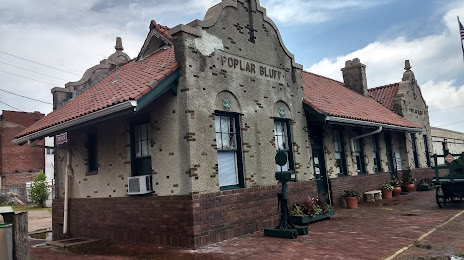
Mazie — Poplar Bluff distance, route on the map
Distance by car
Distance between Mazie, Oklahoma, United States and Poplar Bluff, Missouri, United States by car is — km, or miles. To travel this distance by car, you need minute, or h.
Route on the map, driving directions
Car route Mazie — Poplar Bluff was created automatically. The road on the map is shown as a blue line. By moving the markers, you can create a new route through the points you need.
Passing cities through which the car route passes: Chouteau, Pryor Creek, Adair, Big Cabin, Vinita, Miami, Quapaw, Joplin, Sarcoxie, Miller, Halltown, Bois D'Arc, Republic, Springfield, Fordland, Diggins, Mountain Grove, Cabool, Willow Springs, Mountain View, Montier, Birch Tree, Ellsinore.
Distance by plane
If you decide to take a trip Mazie Poplar Bluff by plane, then you have to fly the distance — 451 km or 280 miles. It is marked on the map with a gray line (between two points in a straight line).
Flight time
Estimated flight time Mazie Poplar Bluff by plane at cruising speed 750 km / h will be — 36 min.
Direction of movement
United States, Mazie — right-hand traffic. United States, Poplar Bluff — right-hand traffic.
Difference in time
Mazie and Poplar Bluff are in the same time zone. Between them there is no time difference (UTC -5 America/Chicago).
Interesting Facts
Information on alternative ways to get to your destination.
The length of this distance is about 1.1% of the total length of the equator.
The percentage of the population is clearly shown in the graph:
Mazie — 90 (less by 16,398), Poplar Bluff — 16,488 residents.
The cost of travel
Calculate the cost of the trip yourself using the fuel consumption calculator, changing the data in the table.