
 Arras
Fournier
Ivry-sur-Seine
Argenteuil
Lens
La Verrière
Nevers
Vanves
Craon
Vincennes
Morangis
Miribel
Tourcoing
Autun
Granville
Fouras
Ceyrat
Sèvres
Bruz
Arras
Fournier
Ivry-sur-Seine
Argenteuil
Lens
La Verrière
Nevers
Vanves
Craon
Vincennes
Morangis
Miribel
Tourcoing
Autun
Granville
Fouras
Ceyrat
Sèvres
Bruz
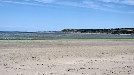
Saint-Brieuc on the map, France
Where is located Saint-Brieuc
Exact location — Saint-Brieuc, Cotes-d'Armor, Brittany, France, marked on the map with a red marker.
Coordinates
Saint-Brieuc, France coordinates in decimal format: latitude — 48.51418, longitude — -2.765835. When converted to degrees, minutes, seconds Saint-Brieuc has the following coordinates: 48°30′51.05 north latitude and -2°45′57.01 east longitude.
Population
Saint-Brieuc, Cotes-d'Armor, Brittany, France, according to our data the population is — 43,522 residents, which is about 0.1% of the total population of the country (France).
Comparison of the population on the graph:
Exact time
Time zone for this location Saint-Brieuc — UTC +2 Europe/Paris. Exact time — thursday, 5 may 2024 year, 15 h. 52 minutes.
Sunrise and sunset
Saint-Brieuc, sunrise and sunset data for a date — thursday 9.05.2024.
| Sunrise | Sunset | Day (duration) |
|---|---|---|
| 06:41 -2 minutes | 21:33 +2 minutes | 14 h. 54 minutes. +4 minutes |
You can control the scale of the map using the auxiliary tools to find out exactly where it is located Saint-Brieuc. When you change the scale of the map, the width of the ruler also changes (in kilometers and miles).
Nearby cities
The largest cities that are located nearby:
- Rennes — 92 km
- Brest — 127 km
- Nantes — 170 km
- Caen — 188 km
- Angers — 201 km
- Le Mans — 226 km
- Le Havre — 233 km
- Exeter
 (United Kingdom) — 250 km
 - Bournemouth (United Kingdom) — 252 km
- Portsmouth (United Kingdom) — 281 km
- Southampton (United Kingdom) — 281 km
- Tours — 286 km
- Rouen — 296 km
- Bristol (Great Britain) — 325 km
- Eastbourne (United Kingdom) — 328 km
- Crawley (United Kingdom) — 338 km
- Swindon (United Kingdom) — 343 km
- Reading (United Kingdom) — 348 km
- Orléans — 353 km
Distance to neighboring capitals:
- London (United Kingdom) — 383 km
- Brussels
 (Belgium) — 574 km
 - Amsterdam
 (Netherlands) — 691 km
 - Andorra la Vella
 (Andorra) — 747 km
 - Bern
 (Switzerland) — 783 km
 - Madrid
 (Spain) — 904 km
 - Vaduz
 (Liechtenstein) — 929 km
 - Lisbon
 (Portugal) — 1203 km
 - Berlin
 (Germany) — 1224 km
 - Prague
 (Czech Republic) — 1257 km
 - Copenhagen
 (Denmark) — 1311 km
 - Rome
 (Italy) — 1400 km
 - Vienna
 (Austria) — 1411 km
 - Warsaw
 (Poland) — 1728 km
 - Nicosia
 — 3301 km
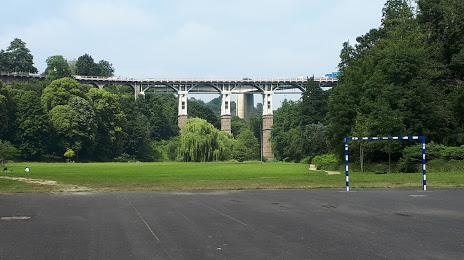
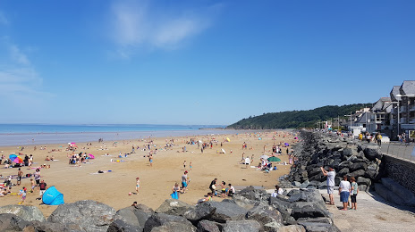
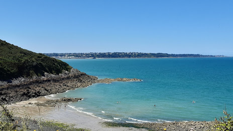
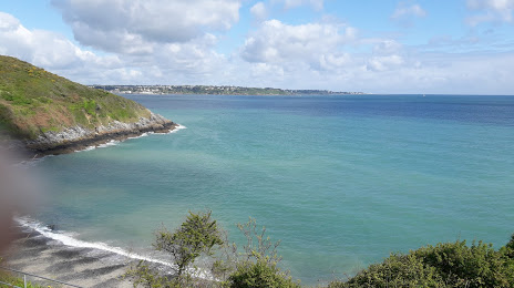
Attractions


Distance to the capital
Distance to the capital (Paris) is about — 378 km.