
 Émerainville
Rambouillet
Halluin
Bourgoin-Jallieu
Gonesse
Coignières
Montesson
Chapareillan
Theix
Arras
Bagnolet
Voiron
Chauray
Thiers
Golbey
Coudeville-sur-Mer
Neufchâteau
Avignon
Saint-Maurice
Émerainville
Rambouillet
Halluin
Bourgoin-Jallieu
Gonesse
Coignières
Montesson
Chapareillan
Theix
Arras
Bagnolet
Voiron
Chauray
Thiers
Golbey
Coudeville-sur-Mer
Neufchâteau
Avignon
Saint-Maurice
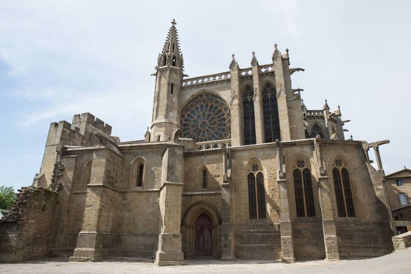
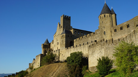
Carcassonne on the map, France
Where is located Carcassonne
Exact location — Carcassonne, Aude, Languedoc-Roussillon, France, marked on the map with a red marker.
Coordinates
Carcassonne, France coordinates in decimal format: latitude — 43.212161, longitude — 2.353663. When converted to degrees, minutes, seconds Carcassonne has the following coordinates: 43°12′43.78 north latitude and 2°21′13.19 east longitude.
Population
Carcassonne, Aude, Languedoc-Roussillon, France, according to our data the population is — 44,697 residents, which is about 0.1% of the total population of the country (France).
Comparison of the population on the graph:
Exact time
Time zone for this location Carcassonne — UTC +2 Europe/Paris. Exact time — saturday, 5 may 2024 year, 11 h. 10 minutes.
Sunrise and sunset
Carcassonne, sunrise and sunset data for a date — saturday 11.05.2024.
| Sunrise | Sunset | Day (duration) |
|---|---|---|
| 06:33 -2 minutes | 21:00 +2 minutes | 14 h. 30 minutes. +4 minutes |
You can control the scale of the map using the auxiliary tools to find out exactly where it is located Carcassonne. When you change the scale of the map, the width of the ruler also changes (in kilometers and miles).
Nearby cities
The largest cities that are located nearby:
- Perpignan — 73 km
- Toulouse — 85 km
- Montpellier — 130 km
- Nimes — 174 km
- Terrassa
 (Spain) — 185 km
 - Mataró (Spain) — 185 km
- Sabadell (Spain) — 185 km
- Badalona (Spain) — 195 km
- Santa Coloma de Gramenet (Spain) — 196 km
- L'Hospitalet de Llobregat (Spain) — 205 km
- Lleida (Spain) — 227 km
- Marseille — 243 km
- Tarragona (Spain) — 249 km
- Aix-en-Provence — 250 km
- Toulon — 289 km
- Clermont-Ferrand — 289 km
- Bordeaux — 292 km
- Saint-Étienne — 292 km
- Limoges — 302 km
Distance to neighboring capitals:
- Andorra la Vella
 (Andorra) — 104 km
 - Bern
 (Switzerland) — 576 km
 - Madrid (Spain) — 590 km
- Vaduz
 (Liechtenstein) — 711 km
 - Rome
 (Italy) — 843 km
 - Brussels
 (Belgium) — 863 km
 - London
 (United Kingdom) — 941 km
 - Amsterdam
 (Netherlands) — 1036 km
 - Lisbon
 (Portugal) — 1085 km
 - Prague
 (Czech Republic) — 1195 km
 - Vienna
 (Austria) — 1220 km
 - Berlin
 (Germany) — 1320 km
 - Copenhagen
 (Denmark) — 1567 km
 - Warsaw
 (Poland) — 1711 km
 - Nicosia
 — 2800 km
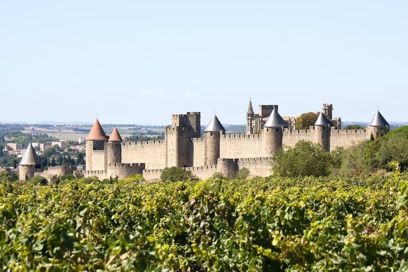
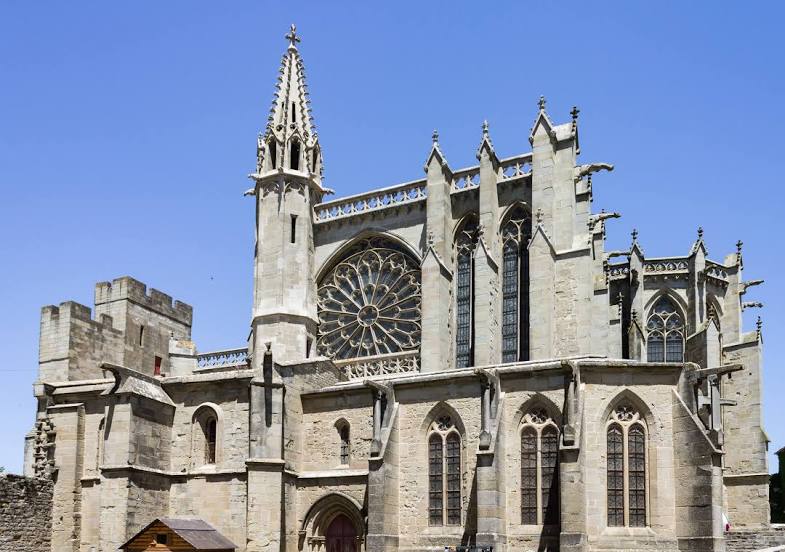
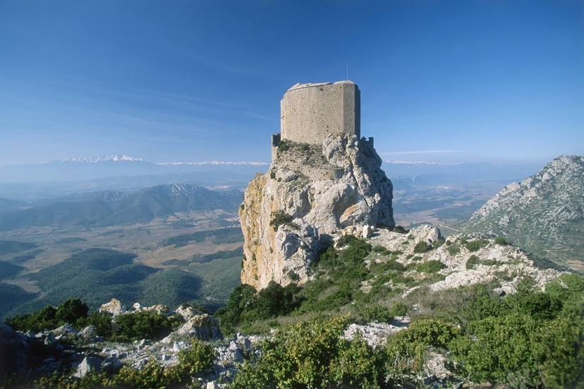
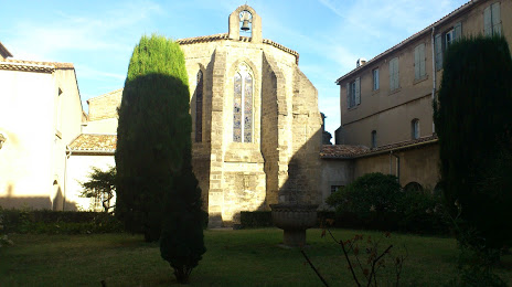
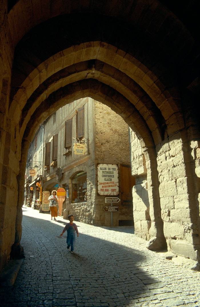
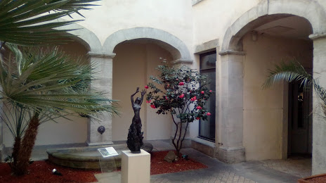
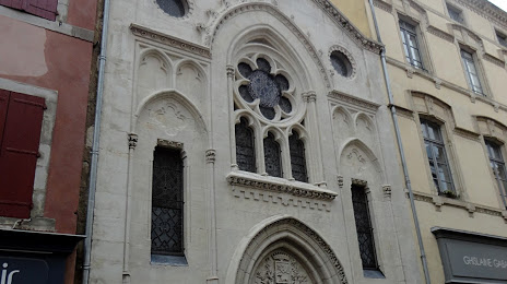
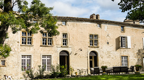
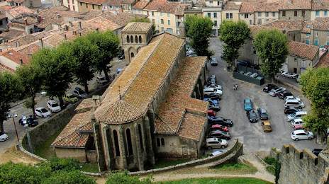
Attractions


Distance to the capital
Distance to the capital (Paris) is about — 628 km.