
 Saran
Hambach
Sceaux
Châteauroux
Senonches
Crouttes
Maury
Les Andelys
Dreux
Robion
Épinal
Chelles
Theix
Chapareillan
Montesson
Coignières
Gonesse
Bourgoin-Jallieu
Halluin
Saran
Hambach
Sceaux
Châteauroux
Senonches
Crouttes
Maury
Les Andelys
Dreux
Robion
Épinal
Chelles
Theix
Chapareillan
Montesson
Coignières
Gonesse
Bourgoin-Jallieu
Halluin
Mondeville on the map, France
Where is located Mondeville
Exact location — Mondeville, Calvados, Lower Normandy, France, marked on the map with a red marker.
Coordinates
Mondeville, France coordinates in decimal format: latitude — 49.176963, longitude — -0.319769. When converted to degrees, minutes, seconds Mondeville has the following coordinates: 49°10′37.07 north latitude and -0°19′11.17 east longitude.
Population
Mondeville, Calvados, Lower Normandy, France, according to our data the population is — 11,193 residents, which is about 0% of the total population of the country (France).
Comparison of the population on the graph:
Exact time
Time zone for this location Mondeville — UTC +2 Europe/Paris. Exact time — sunday, 5 may 2024 year, 16 h. 08 minutes.
Sunrise and sunset
Mondeville, sunrise and sunset data for a date — sunday 12.05.2024.
| Sunrise | Sunset | Day (duration) |
|---|---|---|
| 06:25 -1 minute | 21:29 +1 minute | 15 h. 6 minutes. +2 minutes |
You can control the scale of the map using the auxiliary tools to find out exactly where it is located Mondeville. When you change the scale of the map, the width of the ruler also changes (in kilometers and miles).
Nearby cities
The largest cities that are located nearby:
- Caen — 4 km
- Le Havre — 47 km
- Rouen — 106 km
- Le Mans — 135 km
- Rennes — 154 km
- Eastbourne
 (United Kingdom) — 181 km
 - Angers — 189 km
- Portsmouth (United Kingdom) — 189 km
- Boulogne-Billancourt — 190 km
- Amiens — 202 km
- Bournemouth (United Kingdom) — 203 km
- Southampton (United Kingdom) — 206 km
- Tours — 211 km
- Crawley (United Kingdom) — 214 km
- Orléans — 217 km
- Nantes — 236 km
- Sutton (United Kingdom) — 242 km
- Gillingham (United Kingdom) — 252 km
- Reading (United Kingdom) — 256 km
Distance to neighboring capitals:
- London (United Kingdom) — 260 km
- Brussels
 (Belgium) — 382 km
 - Amsterdam
 (Netherlands) — 510 km
 - Bern
 (Switzerland) — 628 km
 - Andorra la Vella
 (Andorra) — 755 km
 - Vaduz
 (Liechtenstein) — 764 km
 - Madrid
 (Spain) — 1010 km
 - Berlin
 (Germany) — 1031 km
 - Prague
 (Czech Republic) — 1066 km
 - Copenhagen
 (Denmark) — 1131 km
 - Vienna
 (Austria) — 1228 km
 - Rome
 (Italy) — 1282 km
 - Lisbon
 (Portugal) — 1358 km
 - Warsaw
 (Poland) — 1535 km
 - Nicosia
 — 3147 km
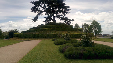
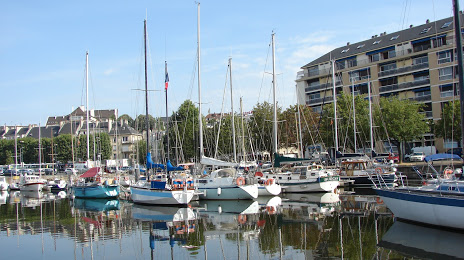
Attractions


Distance to the capital
Distance to the capital (Paris) is about — 198 km.