
 Épernay
Gières
Genas
Uchaud
Beaugency
Voreppe
Ville-la-Grand
Riez
Aurillac
Serris
Lissieu
Mirabeau
Senlis
Dreux
Les Andelys
Maury
Crouttes
Senonches
Châteauroux
Épernay
Gières
Genas
Uchaud
Beaugency
Voreppe
Ville-la-Grand
Riez
Aurillac
Serris
Lissieu
Mirabeau
Senlis
Dreux
Les Andelys
Maury
Crouttes
Senonches
Châteauroux
Haguenau on the map, France
Where is located Haguenau
Exact location — Haguenau, Bas-Rhin, Alsace, France, marked on the map with a red marker.
Coordinates
Haguenau, France coordinates in decimal format: latitude — 48.813288, longitude — 7.79125. When converted to degrees, minutes, seconds Haguenau has the following coordinates: 48°48′47.84 north latitude and 7°47′28.5 east longitude.
Population
Haguenau, Bas-Rhin, Alsace, France, according to our data the population is — 35,807 residents, which is about 0.1% of the total population of the country (France).
Comparison of the population on the graph:
Exact time
Time zone for this location Haguenau — UTC +2 Europe/Paris. Exact time — thursday, 5 may 2024 year, 01 h. 56 minutes.
Sunrise and sunset
Haguenau, sunrise and sunset data for a date — thursday 9.05.2024.
| Sunrise | Sunset | Day (duration) |
|---|---|---|
| 05:58 -2 minutes | 20:51 +1 minute | 14 h. 54 minutes. +3 minutes |
You can control the scale of the map using the auxiliary tools to find out exactly where it is located Haguenau. When you change the scale of the map, the width of the ruler also changes (in kilometers and miles).
Nearby cities
The largest cities that are located nearby:
- Strasbourg — 27 km
- Karlsruhe
 (Germany) — 49 km
 - Pforzheim (Germany) — 66 km
- Saarbrücken (Germany) — 74 km
- Ludwigshafen (Germany) — 87 km
- Mannheim (Germany) — 89 km
- Freiburg (Germany) — 90 km
- Heidelberg (Germany) — 91 km
- Stuttgart (Germany) — 101 km
- Reutlingen (Germany) — 109 km
- Heilbronn (Germany) — 109 km
- Nancy — 118 km
- Metz — 122 km
- Mulhouse — 122 km
- Darmstadt (Germany) — 132 km
- Trier (Germany) — 132 km
- Mainz (Germany) — 134 km
- Basel
 (Switzerland) — 138 km
 - Wiesbaden (Germany) — 143 km
Distance to neighboring capitals:
- Bern (Switzerland) — 209 km
- Vaduz
 (Liechtenstein) — 226 km
 - Brussels
 (Belgium) — 335 km
 - Amsterdam
 (Netherlands) — 445 km
 - Prague
 (Czech Republic) — 501 km
 - Berlin (Germany) — 571 km
- Vienna
 (Austria) — 636 km
 - London
 (United Kingdom) — 638 km
 - Copenhagen
 (Denmark) — 829 km
 - Rome
 (Italy) — 852 km
 - Andorra la Vella
 (Andorra) — 854 km
 - Warsaw
 (Poland) — 1007 km
 - Madrid
 (Spain) — 1301 km
 - Lisbon
 (Portugal) — 1756 km
 - Nicosia
 — 2582 km
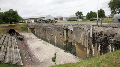
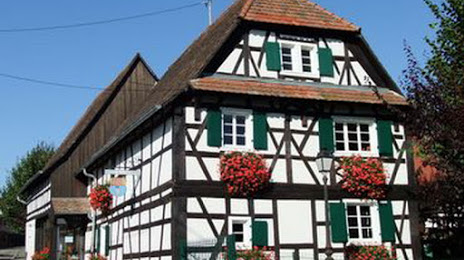
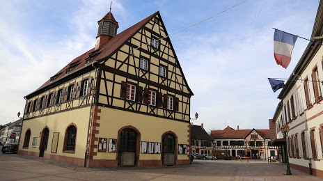
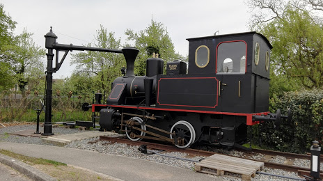
Attractions


Distance to the capital
Distance to the capital (Paris) is about — 398 km.