
 Épagny
Wolfisheim
Orange
Marennes
Valmont
Bégadan
Draguignan
Brignais
Bègles
Paimpont
Couëron
Mamers
La Garde
Thyez
Fumel
Ballon
Mâcon
Floirac
Seyssinet-Pariset
Épagny
Wolfisheim
Orange
Marennes
Valmont
Bégadan
Draguignan
Brignais
Bègles
Paimpont
Couëron
Mamers
La Garde
Thyez
Fumel
Ballon
Mâcon
Floirac
Seyssinet-Pariset
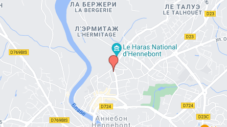
Hennebont on the map, France
Where is located Hennebont
Exact location — Hennebont, Morbihan, Brittany, France, marked on the map with a red marker.
Coordinates
Hennebont, France coordinates in decimal format: latitude — 47.802625, longitude — -3.275811. When converted to degrees, minutes, seconds Hennebont has the following coordinates: 47°48′9.45 north latitude and -3°16′32.92 east longitude.
Population
Hennebont, Morbihan, Brittany, France, according to our data the population is — 13,423 residents, which is about 0% of the total population of the country (France).
Comparison of the population on the graph:
Exact time
Time zone for this location Hennebont — UTC +2 Europe/Paris. Exact time — thursday, 5 may 2024 year, 04 h. 39 minutes.
Sunrise and sunset
Hennebont, sunrise and sunset data for a date — thursday 9.05.2024.
| Sunrise | Sunset | Day (duration) |
|---|---|---|
| 06:46 -1 minute | 21:33 +2 minutes | 14 h. 48 minutes. +3 minutes |
You can control the scale of the map using the auxiliary tools to find out exactly where it is located Hennebont. When you change the scale of the map, the width of the ruler also changes (in kilometers and miles).
Nearby cities
The largest cities that are located nearby:
- Brest — 110 km
- Rennes — 123 km
- Nantes — 145 km
- Angers — 206 km
- Le Mans — 258 km
- Caen — 260 km
- Tours — 300 km
- Le Havre — 307 km
- Exeter
 (United Kingdom) — 323 km
 - Bournemouth (United Kingdom) — 337 km
- Rouen — 363 km
- Portsmouth (United Kingdom) — 367 km
- Southampton (United Kingdom) — 367 km
- Orléans — 384 km
- Bordeaux — 390 km
- Bristol (Great Britain) — 407 km
- Limoges — 412 km
- Eastbourne (United Kingdom) — 412 km
- Boulogne-Billancourt — 417 km
Distance to neighboring capitals:
- London (United Kingdom) — 470 km
- Brussels
 (Belgium) — 648 km
 - Andorra la Vella
 (Andorra) — 699 km
 - Amsterdam
 (Netherlands) — 773 km
 - Bern
 (Switzerland) — 812 km
 - Madrid
 (Spain) — 822 km
 - Vaduz
 (Liechtenstein) — 964 km
 - Lisbon
 (Portugal) — 1115 km
 - Berlin
 (Germany) — 1295 km
 - Prague
 (Czech Republic) — 1315 km
 - Copenhagen
 (Denmark) — 1394 km
 - Rome
 (Italy) — 1402 km
 - Vienna
 (Austria) — 1459 km
 - Warsaw
 (Poland) — 1795 km
 - Nicosia
 — 3321 km
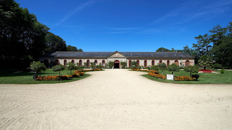
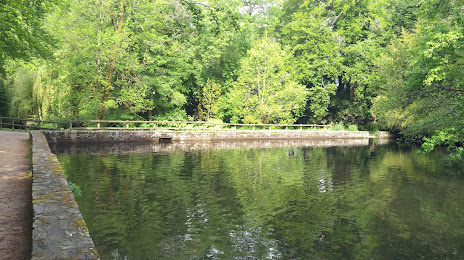
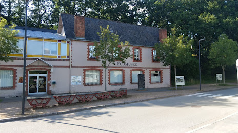
Attractions

Distance to the capital
Distance to the capital (Paris) is about — 432 km.