
 Fontenay-Trésigny
Bassussarry
Cabestany
Vidal
Moulins
Thann
Modane
Ambilly
Lure
Domène
Frouard
La Madeleine
Houdan
Sausset-les-Pins
Cernay
Montbazon
Saumur
Trégunc
Langres
Fontenay-Trésigny
Bassussarry
Cabestany
Vidal
Moulins
Thann
Modane
Ambilly
Lure
Domène
Frouard
La Madeleine
Houdan
Sausset-les-Pins
Cernay
Montbazon
Saumur
Trégunc
Langres
Cesson-Sévigné on the map, France
Where is located Cesson-Sévigné
Exact location — Cesson-Sévigné, Ille-et-Vilaine, Brittany, France, marked on the map with a red marker.
Coordinates
Cesson-Sévigné, France coordinates in decimal format: latitude — 48.119472, longitude — -1.602923. When converted to degrees, minutes, seconds Cesson-Sévigné has the following coordinates: 48°7′10.1 north latitude and -1°36′10.52 east longitude.
Population
Cesson-Sévigné, Ille-et-Vilaine, Brittany, France, according to our data the population is — 16,222 residents, which is about 0% of the total population of the country (France).
Comparison of the population on the graph:
Exact time
Time zone for this location Cesson-Sévigné — UTC +2 Europe/Paris. Exact time — wednesday, 5 may 2024 year, 07 h. 54 minutes.
Sunrise and sunset
Cesson-Sévigné, sunrise and sunset data for a date — wednesday 15.05.2024.
| Sunrise | Sunset | Day (duration) |
|---|---|---|
| 06:30 -1 minute | 21:35 +2 minutes | 15 h. 6 minutes. +3 minutes |
You can control the scale of the map using the auxiliary tools to find out exactly where it is located Cesson-Sévigné. When you change the scale of the map, the width of the ruler also changes (in kilometers and miles).
Nearby cities
The largest cities that are located nearby:
- Rennes — 6 km
- Nantes — 100 km
- Angers — 105 km
- Le Mans — 134 km
- Caen — 147 km
- Tours — 189 km
- Le Havre — 195 km
- Brest — 214 km
- Rouen — 243 km
- Orléans — 261 km
- Bournemouth
 (United Kingdom) — 288 km
 - Boulogne-Billancourt — 291 km
- Portsmouth (United Kingdom) — 301 km
- Southampton (United Kingdom) — 309 km
- Exeter (United Kingdom) — 318 km
- Eastbourne (United Kingdom) — 321 km
- Limoges — 335 km
- Amiens — 340 km
- Crawley (United Kingdom) — 345 km
Distance to neighboring capitals:
- London (United Kingdom) — 391 km
- Brussels
 (Belgium) — 526 km
 - Amsterdam
 (Netherlands) — 661 km
 - Andorra la Vella
 (Andorra) — 670 km
 - Bern
 (Switzerland) — 691 km
 - Vaduz
 (Liechtenstein) — 840 km
 - Madrid
 (Spain) — 873 km
 - Berlin
 (Germany) — 1170 km
 - Prague
 (Czech Republic) — 1186 km
 - Lisbon
 (Portugal) — 1208 km
 - Copenhagen
 (Denmark) — 1281 km
 - Rome
 (Italy) — 1304 km
 - Vienna
 (Austria) — 1331 km
 - Warsaw
 (Poland) — 1667 km
 - Nicosia
 — 3207 km
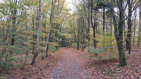
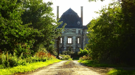
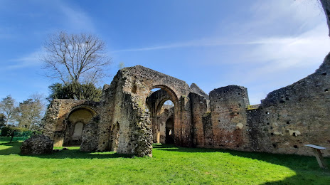
Attractions

Distance to the capital
Distance to the capital (Paris) is about — 303 km.