
 Fuveau
Douarnenez
Nyons
Noyers
Baillargues
Yssingeaux
Quéven
Huez
Englos
Desvres
Le Thillay
Corps
Rosporden
Montgolfier
Talant
Ingwiller
Nantua
Trélissac
Beaurepaire
Fuveau
Douarnenez
Nyons
Noyers
Baillargues
Yssingeaux
Quéven
Huez
Englos
Desvres
Le Thillay
Corps
Rosporden
Montgolfier
Talant
Ingwiller
Nantua
Trélissac
Beaurepaire
Montivilliers on the map, France
Where is located Montivilliers
Exact location — Montivilliers, Seine-Maritime, Upper Normandy, France, marked on the map with a red marker.
Coordinates
Montivilliers, France coordinates in decimal format: latitude — 49.542538, longitude — 0.19336. When converted to degrees, minutes, seconds Montivilliers has the following coordinates: 49°32′33.14 north latitude and 0°11′36.1 east longitude.
Population
Montivilliers, Seine-Maritime, Upper Normandy, France, according to our data the population is — 16,390 residents, which is about 0% of the total population of the country (France).
Comparison of the population on the graph:
Exact time
Time zone for this location Montivilliers — UTC +2 Europe/Paris. Exact time — thursday, 5 may 2024 year, 22 h. 10 minutes.
Sunrise and sunset
Montivilliers, sunrise and sunset data for a date — thursday 9.05.2024.
| Sunrise | Sunset | Day (duration) |
|---|---|---|
| 06:26 -2 minutes | 21:24 +1 minute | 15 h. 0 minutes. +3 minutes |
You can control the scale of the map using the auxiliary tools to find out exactly where it is located Montivilliers. When you change the scale of the map, the width of the ruler also changes (in kilometers and miles).
Nearby cities
The largest cities that are located nearby:
- Le Havre — 8 km
- Caen — 57 km
- Rouen — 66 km
- Eastbourne
 (United Kingdom) — 136 km
 - Amiens — 155 km
- Portsmouth (United Kingdom) — 167 km
- Boulogne-Billancourt — 168 km
- Le Mans — 170 km
- Crawley (United Kingdom) — 175 km
- Southampton (United Kingdom) — 188 km
- Bournemouth (United Kingdom) — 195 km
- Sutton (United Kingdom) — 203 km
- Gillingham (United Kingdom) — 205 km
- Rennes — 210 km
- London (United Kingdom) — 218 km
- Orléans — 221 km
- Slough (United Kingdom) — 224 km
- Southend-on-Sea (United Kingdom) — 224 km
- Basildon (United Kingdom) — 226 km
Distance to neighboring capitals:
- London (United Kingdom) — 220 km
- Brussels
 (Belgium) — 330 km
 - Amsterdam
 (Netherlands) — 455 km
 - Bern
 (Switzerland) — 609 km
 - Vaduz
 (Liechtenstein) — 739 km
 - Andorra la Vella
 (Andorra) — 789 km
 - Berlin
 (Germany) — 980 km
 - Prague
 (Czech Republic) — 1023 km
 - Madrid
 (Spain) — 1060 km
 - Copenhagen
 (Denmark) — 1076 km
 - Vienna
 (Austria) — 1191 km
 - Rome
 (Italy) — 1276 km
 - Lisbon
 (Portugal) — 1413 km
 - Warsaw
 (Poland) — 1486 km
 - Nicosia
 — 3124 km
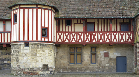
Attractions


Distance to the capital
Distance to the capital (Paris) is about — 174 km.