
 Champforgeuil
Rethel
Cordon
Médis
Amel-sur-l'Étang
Avrillé
Gisors
Lavilledieu
Roullet-Saint-Estèphe
Flumet
Villandry
Planches
Montsoult
Mulsanne
Arradon
Luynes
Auray
Organ
Montfort-le-Gesnois
Champforgeuil
Rethel
Cordon
Médis
Amel-sur-l'Étang
Avrillé
Gisors
Lavilledieu
Roullet-Saint-Estèphe
Flumet
Villandry
Planches
Montsoult
Mulsanne
Arradon
Luynes
Auray
Organ
Montfort-le-Gesnois
Lambersart on the map, France
Where is located Lambersart
Exact location — Lambersart, Nord, Nord-Pas-de-Calais, France, marked on the map with a red marker.
Coordinates
Lambersart, France coordinates in decimal format: latitude — 50.652468, longitude — 3.026676. When converted to degrees, minutes, seconds Lambersart has the following coordinates: 50°39′8.88 north latitude and 3°1′36.03 east longitude.
Population
Lambersart, Nord, Nord-Pas-de-Calais, France, according to our data the population is — 28,256 residents, which is about 0% of the total population of the country (France).
Comparison of the population on the graph:
Exact time
Time zone for this location Lambersart — UTC +2 Europe/Paris. Exact time — tuesday, 5 may 2024 year, 20 h. 20 minutes.
Sunrise and sunset
Lambersart, sunrise and sunset data for a date — tuesday 14.05.2024.
| Sunrise | Sunset | Day (duration) |
|---|---|---|
| 06:04 -1 minute | 21:24 +2 minutes | 15 h. 18 minutes. +3 minutes |
You can control the scale of the map using the auxiliary tools to find out exactly where it is located Lambersart. When you change the scale of the map, the width of the ruler also changes (in kilometers and miles).
Nearby cities
The largest cities that are located nearby:
- Lille — 3 km
- Brussels
 (Belgium) — 95 km
 - Amiens — 99 km
- Charleroi (Belgium) — 103 km
- Antwerp (Belgium) — 114 km
- Namur (Belgium) — 131 km
- Breda
 (Netherlands) — 158 km
 - Reims — 170 km
- Dordrecht (Netherlands) — 171 km
- Rotterdam (Netherlands) — 172 km
- Tilburg (Netherlands) — 174 km
- Liège (Belgium) — 179 km
- The Hague (Netherlands) — 179 km
- Zoetermeer (Netherlands) — 185 km
- Maastricht (Netherlands) — 187 km
- Southend-on-Sea
 (United Kingdom) — 188 km
 - Gillingham (United Kingdom) — 189 km
- Eindhoven (Netherlands) — 190 km
- Eastbourne (United Kingdom) — 192 km
Distance to neighboring capitals:
- Brussels (Belgium) — 96 km
- Amsterdam (Netherlands) — 231 km
- London (United Kingdom) — 240 km
- Bern
 (Switzerland) — 524 km
 - Vaduz
 (Liechtenstein) — 614 km
 - Berlin
 (Germany) — 746 km
 - Prague
 (Czech Republic) — 811 km
 - Copenhagen
 (Denmark) — 845 km
 - Andorra la Vella
 (Andorra) — 913 km
 - Vienna
 (Austria) — 1001 km
 - Rome
 (Italy) — 1213 km
 - Madrid
 (Spain) — 1252 km
 - Warsaw
 (Poland) — 1256 km
 - Lisbon
 (Portugal) — 1634 km
 - Nicosia
 — 2979 km
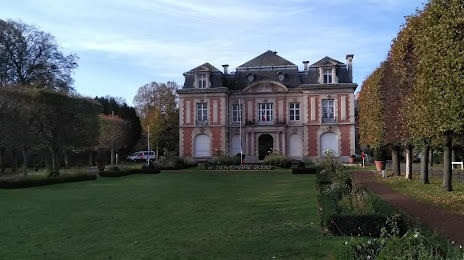
Attractions

Distance to the capital
Distance to the capital (Paris) is about — 206 km.