
 Saint-Marcellin
Gironcourt-sur-Vraine
Saint-Germain-le-Vasson
Vern-sur-Seiche
Sotteville-lès-Rouen
Latour-Bas-Elne
Dax
Wierre-Effroy
Brullioles
Avesnes-sur-Helpe
Pont-de-Claix
Saint-Romain-de-Colbosc
Ferrières-en-Brie
Magny-le-Hongre
Vandœuvre-lès-Nancy
Gap
Saint-Marcel-du-Périgord
Bourron-Marlotte
Lésigny
Saint-Marcellin
Gironcourt-sur-Vraine
Saint-Germain-le-Vasson
Vern-sur-Seiche
Sotteville-lès-Rouen
Latour-Bas-Elne
Dax
Wierre-Effroy
Brullioles
Avesnes-sur-Helpe
Pont-de-Claix
Saint-Romain-de-Colbosc
Ferrières-en-Brie
Magny-le-Hongre
Vandœuvre-lès-Nancy
Gap
Saint-Marcel-du-Périgord
Bourron-Marlotte
Lésigny
Oloron-Sainte-Marie on the map, France
Where is located Oloron-Sainte-Marie
Exact location — Oloron-Sainte-Marie, Pyrénées-Atlantiques, Aquitaine, France, marked on the map with a red marker.
Coordinates
Oloron-Sainte-Marie, France coordinates in decimal format: latitude — 43.194413, longitude — -0.605292. When converted to degrees, minutes, seconds Oloron-Sainte-Marie has the following coordinates: 43°11′39.89 north latitude and -0°36′19.05 east longitude.
Population
Oloron-Sainte-Marie, Pyrénées-Atlantiques, Aquitaine, France, according to our data the population is — 11,007 residents, which is about 0% of the total population of the country (France).
Comparison of the population on the graph:
Exact time
Time zone for this location Oloron-Sainte-Marie — UTC +2 Europe/Paris. Exact time — thursday, 5 may 2024 year, 11 h. 09 minutes.
Sunrise and sunset
Oloron-Sainte-Marie, sunrise and sunset data for a date — thursday 9.05.2024.
| Sunrise | Sunset | Day (duration) |
|---|---|---|
| 06:48 -1 minute | 21:09 +1 minute | 14 h. 24 minutes. +2 minutes |
You can control the scale of the map using the auxiliary tools to find out exactly where it is located Oloron-Sainte-Marie. When you change the scale of the map, the width of the ruler also changes (in kilometers and miles).
Nearby cities
The largest cities that are located nearby:
- Pamplona
 (Spain) — 94 km
 - San Sebastián (Spain) — 112 km
- Toulouse — 170 km
- Logroño (Spain) — 170 km
- Vitoria-Gasteiz (Spain) — 172 km
- Zaragoza (Spain) — 172 km
- Bordeaux — 182 km
- Bilbao (Spain) — 188 km
- Lleida (Spain) — 202 km
- Santander (Spain) — 259 km
- Burgos (Spain) — 270 km
- Tarragona (Spain) — 276 km
- Terrassa (Spain) — 282 km
- Sabadell (Spain) — 289 km
- Perpignan — 290 km
- L'Hospitalet de Llobregat (Spain) — 303 km
- Santa Coloma de Gramenet (Spain) — 303 km
- Badalona (Spain) — 305 km
- Mataró (Spain) — 312 km
Distance to neighboring capitals:
- Andorra la Vella
 (Andorra) — 190 km
 - Madrid (Spain) — 402 km
- Bern
 (Switzerland) — 757 km
 - Lisbon
 (Portugal) — 872 km
 - Vaduz
 (Liechtenstein) — 906 km
 - London
 (United Kingdom) — 925 km
 - Brussels
 (Belgium) — 930 km
 - Rome
 (Italy) — 1082 km
 - Amsterdam
 (Netherlands) — 1099 km
 - Prague
 (Czech Republic) — 1377 km
 - Vienna
 (Austria) — 1428 km
 - Berlin
 (Germany) — 1468 km
 - Copenhagen
 (Denmark) — 1678 km
 - Warsaw
 (Poland) — 1893 km
 - Nicosia
 — 3038 km
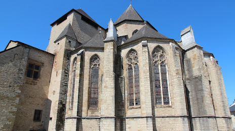
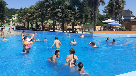
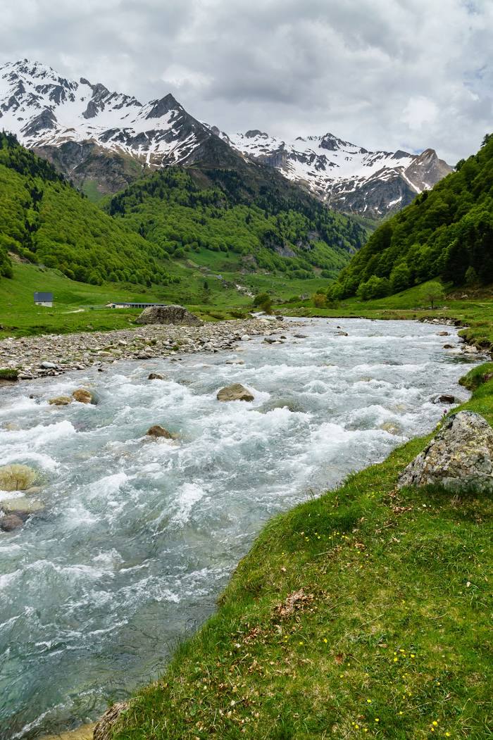
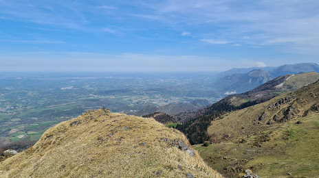
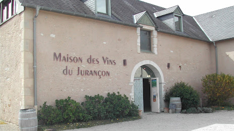
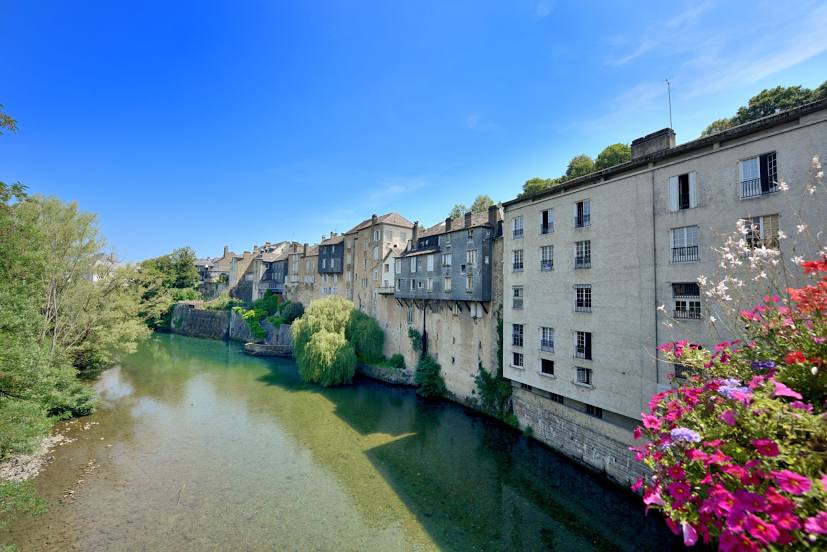
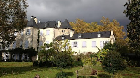
Attractions
Distance to the capital
Distance to the capital (Paris) is about — 670 km.