
 Gruissan
Portes-lès-Valence
Loix
Étain
Le Thoronet
La Bouilladisse
Branville
Lézignan-Corbières
Royères
Arcis-sur-Aube
La Garde-Freinet
Saint-Martin-d'Entraunes
Cocurès
Furdenheim
Ligny-en-Barrois
Bain-de-Bretagne
Pluméliau
Pleugueneuc
Plescop
Gruissan
Portes-lès-Valence
Loix
Étain
Le Thoronet
La Bouilladisse
Branville
Lézignan-Corbières
Royères
Arcis-sur-Aube
La Garde-Freinet
Saint-Martin-d'Entraunes
Cocurès
Furdenheim
Ligny-en-Barrois
Bain-de-Bretagne
Pluméliau
Pleugueneuc
Plescop
Saint-Martin-Boulogne on the map, France
Where is located Saint-Martin-Boulogne
Exact location — Saint-Martin-Boulogne, Pas-de-Calais, Nord-Pas-de-Calais, France, marked on the map with a red marker.
Coordinates
Saint-Martin-Boulogne, France coordinates in decimal format: latitude — 50.7257419, longitude — 1.630571. When converted to degrees, minutes, seconds Saint-Martin-Boulogne has the following coordinates: 50°43′32.67 north latitude and 1°37′50.06 east longitude.
Population
Saint-Martin-Boulogne, Pas-de-Calais, Nord-Pas-de-Calais, France, according to our data the population is — 11,892 residents, which is about 0% of the total population of the country (France).
Comparison of the population on the graph:
Exact time
Time zone for this location Saint-Martin-Boulogne — UTC +2 Europe/Paris. Exact time — friday, 5 may 2024 year, 10 h. 33 minutes.
Sunrise and sunset
Saint-Martin-Boulogne, sunrise and sunset data for a date — friday 17.05.2024.
| Sunrise | Sunset | Day (duration) |
|---|---|---|
| 06:05 -1 minute | 21:34 +1 minute | 15 h. 30 minutes. +2 minutes |
You can control the scale of the map using the auxiliary tools to find out exactly where it is located Saint-Martin-Boulogne. When you change the scale of the map, the width of the ruler also changes (in kilometers and miles).
Nearby cities
The largest cities that are located nearby:
- Eastbourne
 (United Kingdom) — 94 km
 - Lille — 101 km
- Amiens — 103 km
- Gillingham (United Kingdom) — 104 km
- Southend-on-Sea (United Kingdom) — 111 km
- Basildon (United Kingdom) — 122 km
- Crawley (United Kingdom) — 133 km
- Chelmsford (United Kingdom) — 137 km
- Sutton (United Kingdom) — 144 km
- Rouen — 147 km
- London (United Kingdom) — 149 km
- Ipswich (United Kingdom) — 151 km
- Watford (United Kingdom) — 173 km
- Le Havre — 175 km
- Slough (United Kingdom) — 176 km
- Luton (United Kingdom) — 189 km
- Portsmouth (United Kingdom) — 190 km
- Brussels
 (Belgium) — 190 km
 - Cambridge (United Kingdom) — 193 km
Distance to neighboring capitals:
- London (United Kingdom) — 150 km
- Brussels (Belgium) — 192 km
- Amsterdam
 (Netherlands) — 291 km
 - Bern
 (Switzerland) — 598 km
 - Vaduz
 (Liechtenstein) — 700 km
 - Berlin
 (Germany) — 836 km
 - Prague
 (Czech Republic) — 910 km
 - Copenhagen
 (Denmark) — 912 km
 - Andorra la Vella
 (Andorra) — 914 km
 - Vienna
 (Austria) — 1100 km
 - Madrid
 (Spain) — 1219 km
 - Rome
 (Italy) — 1286 km
 - Warsaw
 (Poland) — 1349 km
 - Lisbon
 (Portugal) — 1580 km
 - Nicosia
 — 3073 km
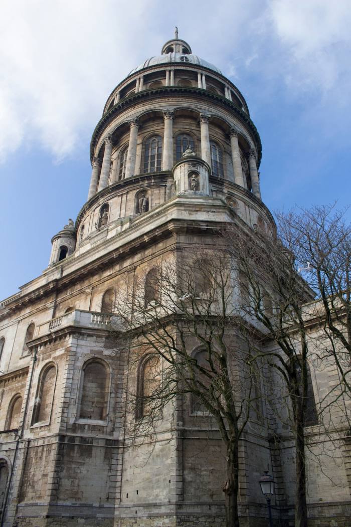
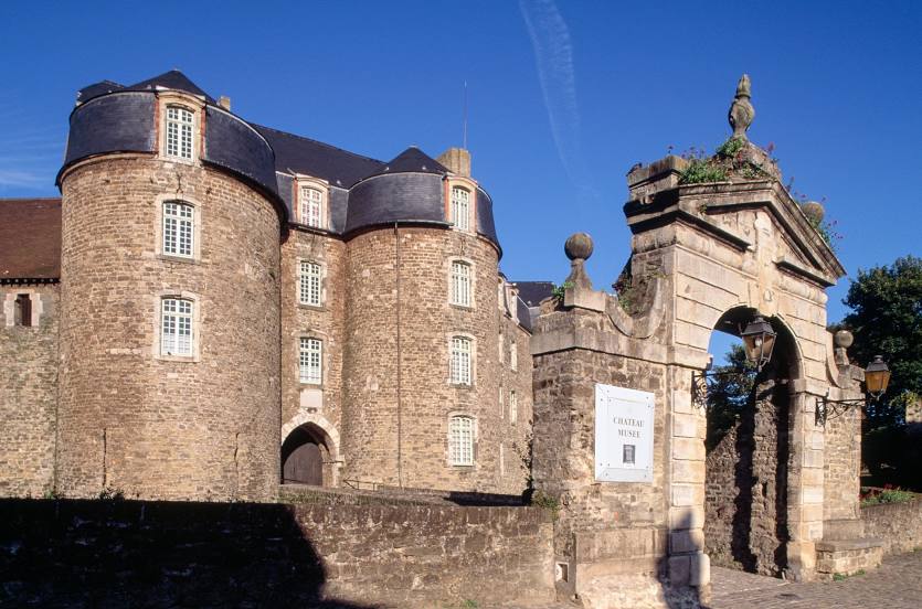
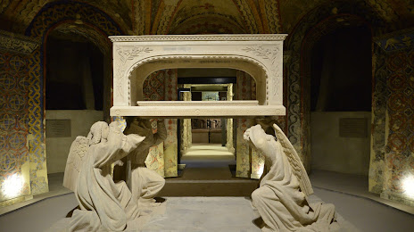
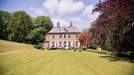
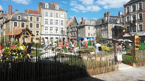
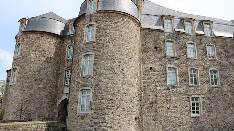
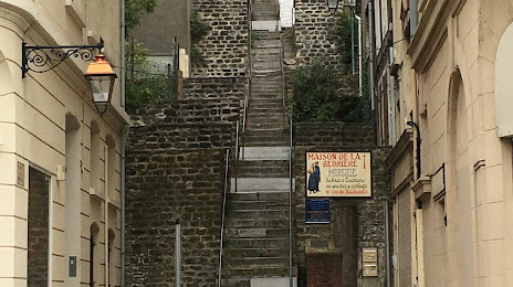
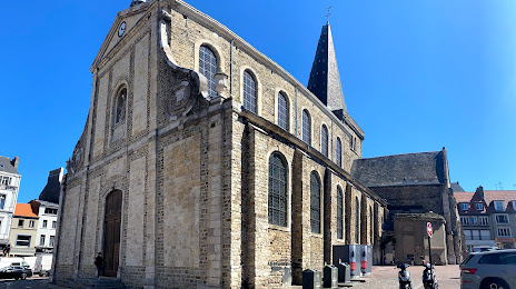
Attractions

Distance to the capital
Distance to the capital (Paris) is about — 214 km.