Étauliers — Muille-Villette
Étauliers — Delme
Étauliers — Vétraz-Monthoux
Étauliers — The guard
Étauliers — Bondeval
Étauliers — Roquefeuil
Étauliers — Soussans
Étauliers — Canville-les-deux-Eglises
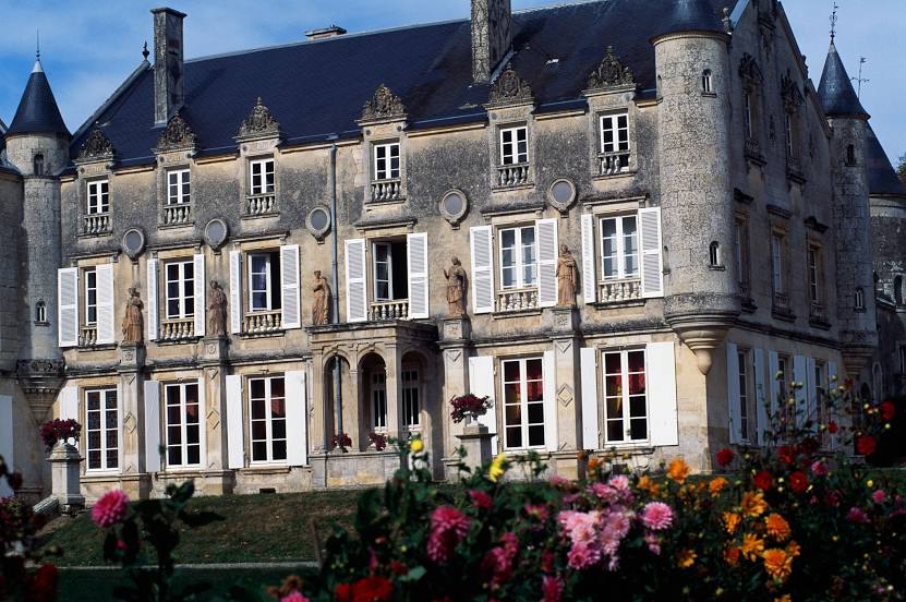
Étauliers — Chenonceaux
Étauliers — Barèges
Étauliers — Carry-le-Rouet
Étauliers — Villiers-le-Morhier
Étauliers — Annéot
Étauliers — Saint-Jean-de-Luz
Étauliers — Glanes
Étauliers — The Jard
Étauliers — Vergèze
Étauliers — Saint-Maurice-sur-Moselle
Étauliers — Sauveterre
Saint-Aubin-de-Blaye
Boisredon
Mirambeau
Saint-Genis-de-Saintonge
Bois
Saint-Palais-de-Phiolin
Pons
Berneuil
Thénac
Port-d'Envaux
Asnières-la-Giraud
Saint-Jean-d'Angély
Fors
La Crèche
François
Surin
Saint-Rémy
Benet
Saint-Martin-de-Fraigneau
Étauliers — Muille-Villette
Étauliers — Delme
Étauliers — Vétraz-Monthoux
Étauliers — The guard
Étauliers — Bondeval
Étauliers — Roquefeuil
Étauliers — Soussans
Étauliers — Canville-les-deux-Eglises
Étauliers — Chenonceaux
Étauliers — Barèges
Étauliers — Carry-le-Rouet
Étauliers — Villiers-le-Morhier
Étauliers — Annéot
Étauliers — Saint-Jean-de-Luz
Étauliers — Glanes
Étauliers — The Jard
Étauliers — Vergèze
Étauliers — Saint-Maurice-sur-Moselle
Étauliers — Sauveterre
Saint-Aubin-de-Blaye
Boisredon
Mirambeau
Saint-Genis-de-Saintonge
Bois
Saint-Palais-de-Phiolin
Pons
Berneuil
Thénac
Port-d'Envaux
Asnières-la-Giraud
Saint-Jean-d'Angély
Fors
La Crèche
François
Surin
Saint-Rémy
Benet
Saint-Martin-de-Fraigneau
Étauliers — Fontenay-le-Comte distance, route on the map
Distance by car
Distance between Étauliers, Aquitaine, France and Fontenay-le-Comte, Pays de la Loire, France by car is — km, or miles. To travel this distance by car, you need minute, or h.
Route on the map, driving directions
Car route Étauliers — Fontenay-le-Comte was created automatically. The road on the map is shown as a blue line. By moving the markers, you can create a new route through the points you need.
Passing cities through which the car route passes: Marcillac, Saint-Aubin-de-Blaye, Boisredon, Mirambeau, Saint-Genis-de-Saintonge, Bois, Saint-Palais-de-Phiolin, Pons, Berneuil, Thénac, Port-d'Envaux, Asnières-la-Giraud, Saint-Jean-d'Angély, Fors, La Crèche, François, Surin, Saint-Rémy, Benet, Saint-Martin-de-Fraigneau.
Distance by plane
If you decide to take a trip Étauliers Fontenay-le-Comte by plane, then you have to fly the distance — 139 km or 86 miles. It is marked on the map with a gray line (between two points in a straight line).
Flight time
Estimated flight time Étauliers Fontenay-le-Comte by plane at cruising speed 750 km / h will be — 11 min.
Direction of movement
France, Étauliers — right-hand traffic. France, Fontenay-le-Comte — right-hand traffic.
Difference in time
Étauliers and Fontenay-le-Comte are in the same time zone. Between them there is no time difference (UTC +2 Europe/Paris).
Interesting Facts
Information on alternative ways to get to your destination.
The length of this distance is about 0.3% of the total length of the equator.
The percentage of the population is clearly shown in the graph:
Étauliers — 1,514 (less by 12,021), Fontenay-le-Comte — 13,535 residents.
The cost of travel
Calculate the cost of the trip yourself using the fuel consumption calculator, changing the data in the table.