Mosnac — Yenne
Mosnac — Mollau
Mosnac — Novillars
Mosnac — Sarrant
Mosnac — Villaines-la-Gonais
Mosnac — Arçonnay
Mosnac — La Goutelle
Mosnac — Bruges
Mosnac — Habère-Poche
Mosnac — Touques
Mosnac — Saint-Étienne-de-Chigny
Mosnac — Bidache
Mosnac — Domrémy-la-Pucelle
Mosnac — Allonnes
Mosnac — L'Escale
Mosnac — Annemasse
Mosnac — Olette
Mosnac — L'Épine
Mosnac — Lamarche
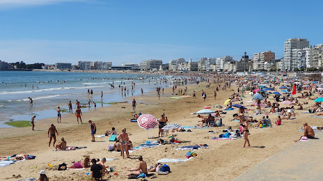
Mosnac — Les Sables-d'Olonne distance, route on the map
Distance by car
Distance between Mosnac, Poitou-Charentes, France and Les Sables-d'Olonne, Pays de la Loire, France by car is — km, or miles. To travel this distance by car, you need minute, or h.
Route on the map, driving directions
Car route Mosnac — Les Sables-d'Olonne was created automatically. The road on the map is shown as a blue line. By moving the markers, you can create a new route through the points you need.
Distance by plane
If you decide to take a trip Mosnac Les Sables-d'Olonne by plane, then you have to fly the distance — 168 km or 104 miles. It is marked on the map with a gray line (between two points in a straight line).
Flight time
Estimated flight time Mosnac Les Sables-d'Olonne by plane at cruising speed 750 km / h will be — 13 min.
Direction of movement
France, Mosnac — right-hand traffic. France, Les Sables-d'Olonne — right-hand traffic.
Difference in time
Mosnac and Les Sables-d'Olonne are in the same time zone. Between them there is no time difference (UTC +2 Europe/Paris).
Interesting Facts
Information on alternative ways to get to your destination.
The length of this distance is about 0.4% of the total length of the equator.
The percentage of the population is clearly shown in the graph:
Mosnac — 492 (less by 15,613), Les Sables-d'Olonne — 16,105 residents.
The cost of travel
Calculate the cost of the trip yourself using the fuel consumption calculator, changing the data in the table.