Montagny-lès-Beaune — Cordon
Montagny-lès-Beaune — Damas-aux-Bois
Montagny-lès-Beaune — Monteynard
Montagny-lès-Beaune — Foissac
Montagny-lès-Beaune — Savigny
Montagny-lès-Beaune — Linas
Montagny-lès-Beaune — Salers
Montagny-lès-Beaune — Thillois
Montagny-lès-Beaune — Guéthary
Montagny-lès-Beaune — Bois d'Arcy
Montagny-lès-Beaune — Argenton-les-Vallées
Montagny-lès-Beaune — Bourganeuf
Montagny-lès-Beaune — Boisredon
Montagny-lès-Beaune — Sissy
Montagny-lès-Beaune — Pisany
Montagny-lès-Beaune — Soultz-sous-Forêts
Montagny-lès-Beaune — Decize
Montagny-lès-Beaune — Loire
Montagny-lès-Beaune — Meuvy
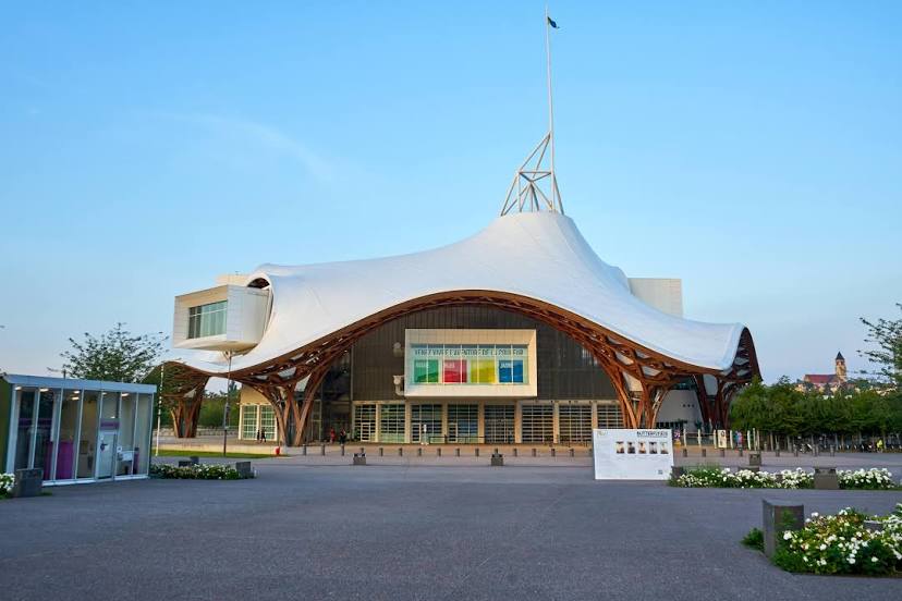
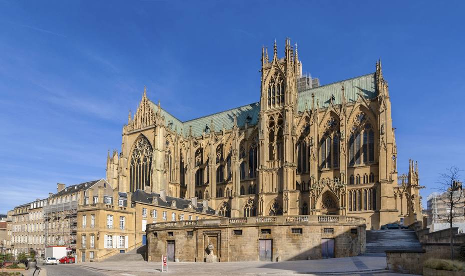
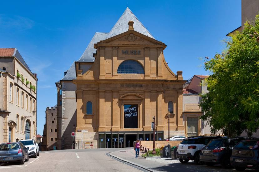
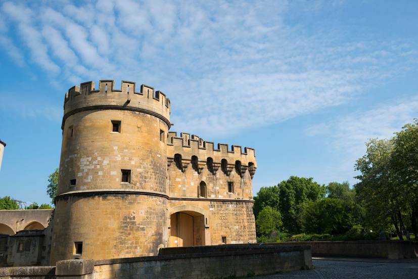
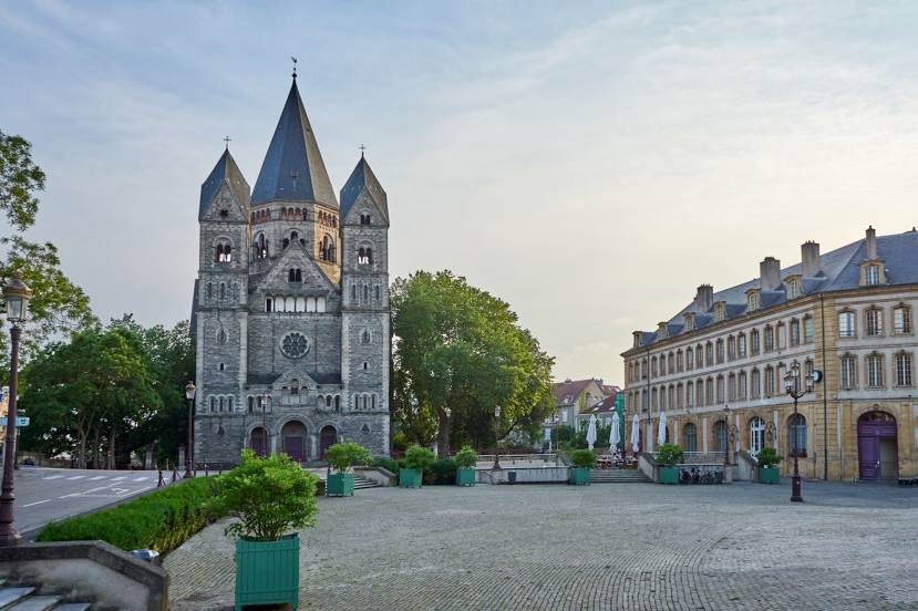
Montagny-lès-Beaune — Metz distance, route on the map
Distance by car
Distance between Montagny-lès-Beaune, Burgundy, France and Metz, Lorraine, France by car is — km, or miles. To travel this distance by car, you need minute, or h.
Route on the map, driving directions
Car route Montagny-lès-Beaune — Metz was created automatically. The road on the map is shown as a blue line. By moving the markers, you can create a new route through the points you need.
Distance by plane
If you decide to take a trip Montagny-lès-Beaune Metz by plane, then you have to fly the distance — 256 km or 159 miles. It is marked on the map with a gray line (between two points in a straight line).
Flight time
Estimated flight time Montagny-lès-Beaune Metz by plane at cruising speed 750 km / h will be — 20 min.
Direction of movement
France, Montagny-lès-Beaune — right-hand traffic. France, Metz — right-hand traffic.
Difference in time
Montagny-lès-Beaune and Metz are in the same time zone. Between them there is no time difference (UTC +2 Europe/Paris).
Interesting Facts
Information on alternative ways to get to your destination.
The length of this distance is about 0.6% of the total length of the equator.
The percentage of the population is clearly shown in the graph:
Montagny-lès-Beaune — 746 (less by 127,275), Metz — 128,021 residents.
The cost of travel
Calculate the cost of the trip yourself using the fuel consumption calculator, changing the data in the table.