Saint-Étienne-sous-Bailleul — Champagne-Mouton
Saint-Étienne-sous-Bailleul — La Baule-Escoublac
Saint-Étienne-sous-Bailleul — Deinvillers
Saint-Étienne-sous-Bailleul — Foug
Saint-Étienne-sous-Bailleul — Brette-les-Pins
Saint-Étienne-sous-Bailleul — Goudargues
Saint-Étienne-sous-Bailleul — Nougaroulet
Saint-Étienne-sous-Bailleul — Denneville
Saint-Étienne-sous-Bailleul — Saint-François-Longchamp
Saint-Étienne-sous-Bailleul — Illhaeusern
Saint-Étienne-sous-Bailleul — Courcelles-Chaussy
Saint-Étienne-sous-Bailleul — Fabras
Saint-Étienne-sous-Bailleul — Saint-Ouen-sur-Morin
Saint-Étienne-sous-Bailleul — Saint-Maurice-de-Beynost
Saint-Étienne-sous-Bailleul — Muttersholtz
Saint-Étienne-sous-Bailleul — Saint-Jean-de-Losne
Saint-Étienne-sous-Bailleul — Rivarennes
Saint-Étienne-sous-Bailleul — Muro
Saint-Étienne-sous-Bailleul — Bousse
Chaufour-lès-Bonnières
Bennecourt
Bonnières-sur-Seine
Rolleboise
Rosny-sur-Seine
Buchelay
Buchelay
Mantes-la-Ville
Limay
Mézières-sur-Seine
Épône
Aubergenville
Bouafle
Orgeval
Villennes-sur-Seine
Chambourcy
Saint-Germain-en-Laye
Le Pecq
Montesson
Carrières-sur-Seine
Nanterre
Saint-Étienne-sous-Bailleul — Puteaux distance, route on the map
Distance by car
Distance between Saint-Étienne-sous-Bailleul, Upper Normandy, France and Puteaux, Île-de-France, France by car is — km, or miles. To travel this distance by car, you need minute, or h.
Route on the map, driving directions
Car route Saint-Étienne-sous-Bailleul — Puteaux was created automatically. The road on the map is shown as a blue line. By moving the markers, you can create a new route through the points you need.
Passing cities through which the car route passes: Saint-Marcel, Chaufour-lès-Bonnières, Bennecourt, Bonnières-sur-Seine, Rolleboise, Rosny-sur-Seine, Buchelay, Buchelay, Mantes-la-Ville, Limay, Mézières-sur-Seine, Épône, Aubergenville, Bouafle, Orgeval, Villennes-sur-Seine, Chambourcy, Saint-Germain-en-Laye, Le Pecq, Montesson, Carrières-sur-Seine, Nanterre.
Distance by plane
If you decide to take a trip Saint-Étienne-sous-Bailleul Puteaux by plane, then you have to fly the distance — 66 km or 41 miles. It is marked on the map with a gray line (between two points in a straight line).
Flight time
Estimated flight time Saint-Étienne-sous-Bailleul Puteaux by plane at cruising speed 750 km / h will be — 5 min.
Direction of movement
France, Saint-Étienne-sous-Bailleul — right-hand traffic. France, Puteaux — right-hand traffic.
Difference in time
Saint-Étienne-sous-Bailleul and Puteaux are in the same time zone. Between them there is no time difference (UTC +2 Europe/Paris).
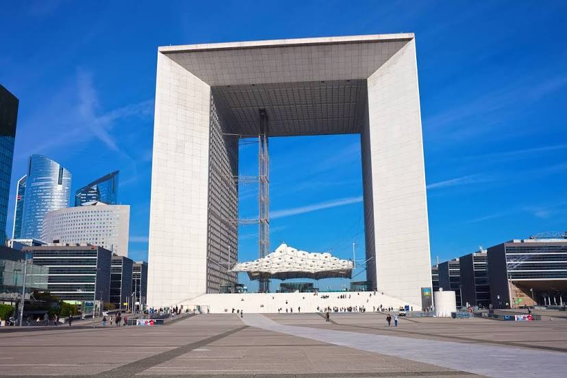
Interesting Facts
Information on alternative ways to get to your destination.
The length of this distance is about 0.2% of the total length of the equator.
The percentage of the population is clearly shown in the graph:
Saint-Étienne-sous-Bailleul — 341 (less by 39,411), Puteaux — 39,752 residents.
The cost of travel
Calculate the cost of the trip yourself using the fuel consumption calculator, changing the data in the table.