 Saint-Laurent
Lancaster
Lyster
Whitchurch-Stouffville
Kindersley
Bécancour
Markdale
Rexton
Heron Bay
Mackenzie
Treherne
Fernie
Invermere
Golden
Lumby
Clair
Stanstead
Greenfield Park
Stirling
Saint-Laurent
Lancaster
Lyster
Whitchurch-Stouffville
Kindersley
Bécancour
Markdale
Rexton
Heron Bay
Mackenzie
Treherne
Fernie
Invermere
Golden
Lumby
Clair
Stanstead
Greenfield Park
Stirling
Cold Lake on the map, Canada
Where is located Cold Lake
Exact location — Cold Lake, Division No. 12, Alberta, Canada, marked on the map with a red marker.
Coordinates
Cold Lake, Canada coordinates in decimal format: latitude — 54.4643173, longitude — -110.1731468. When converted to degrees, minutes, seconds Cold Lake has the following coordinates: 54°27′51.54 north latitude and -110°10′23.33 east longitude.
Population
Cold Lake, Division No. 12, Alberta, Canada, according to our data the population is — 11,991 residents, which is about 0% of the total population of the country (Canada).
Comparison of the population on the graph:
Exact time
Time zone for this location Cold Lake — UTC -6 America/Edmonton. Exact time — thursday, 5 may 2024 year, 21 h. 27 minutes.
Sunrise and sunset
Cold Lake, sunrise and sunset data for a date — thursday 30.05.2024.
| Sunrise | Sunset | Day (duration) |
|---|---|---|
| 04:58 -1 minute | 21:37 +1 minute | 16 h. 42 minutes. +2 minutes |
You can control the scale of the map using the auxiliary tools to find out exactly where it is located Cold Lake. When you change the scale of the map, the width of the ruler also changes (in kilometers and miles).
Nearby cities
The largest cities that are located nearby:
- Edmonton — 241 km
- Saskatoon — 351 km
- Calgary — 465 km
- Regina — 592 km
- Kelowna — 835 km
- Spokane
 (United States) — 926 km
 - Winnipeg — 1057 km
- Abbotsford — 1065 km
- Coquitlam — 1075 km
- Anmore — 1077 km
- Surrey — 1086 km
- Burnaby — 1087 km
- Vancouver — 1096 km
- Delta — 1104 km
- Richmond — 1105 km
- Bellevue (United States) — 1174 km
- Victoria — 1176 km
- Seattle (United States) — 1182 km
- Tacoma (United States) — 1218 km
Distance to neighboring capitals:
- Washington (United States) — 3020 km
- Nuuk
 (Greenland) — 3350 km
 - Mexico City
 (Mexico) — 4008 km
 - Saint John
 (Puerto Rico) — 5469 km
 - Belgrade
 (Serbia) — 8037 km
 - Podgorica
 (Montenegro) — 8224 km
 - Hagåtña
 (Guam) — 9739 km
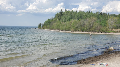
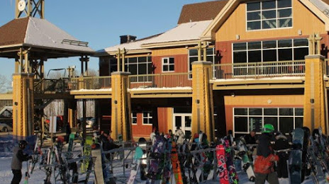
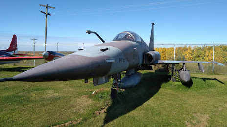
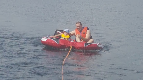
Attractions

Distance to the capital
Distance to the capital (Ottawa) is about — 2632 km.