RIOgaleão - Tom Jobim International Airport — Machado
RIOgaleão - Tom Jobim International Airport — Ibirajuba
RIOgaleão - Tom Jobim International Airport — Mucambo
RIOgaleão - Tom Jobim International Airport — Stopper
RIOgaleão - Tom Jobim International Airport — Baixa Grande
RIOgaleão - Tom Jobim International Airport — Aquiraz
RIOgaleão - Tom Jobim International Airport — Feira de Santana
RIOgaleão - Tom Jobim International Airport — Jequitinhonha
RIOgaleão - Tom Jobim International Airport — Amargosa
RIOgaleão - Tom Jobim International Airport — Alvinópolis
RIOgaleão - Tom Jobim International Airport — Sao Paulo International Airport
RIOgaleão - Tom Jobim International Airport — Campo Bonito
RIOgaleão - Tom Jobim International Airport — Barra do Rio Azul
RIOgaleão - Tom Jobim International Airport — Boquira
RIOgaleão - Tom Jobim International Airport — Roque Gonzales
RIOgaleão - Tom Jobim International Airport — Iperó
RIOgaleão - Tom Jobim International Airport — Palhano
RIOgaleão - Tom Jobim International Airport — Pinhais
RIOgaleão - Tom Jobim International Airport — Spa Esmeralda
State of Rio de Janeiro
Niterói
São Gonçalo
Monjolo
Itaboraí
Tanguá
Rio Bonito
Araruama
Iguaba Grande
São Pedro da Aldeia
See how the reverse distance goes.
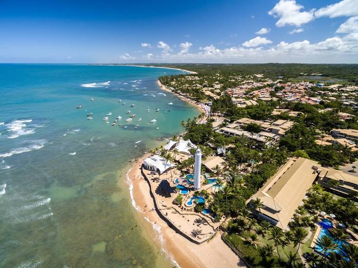
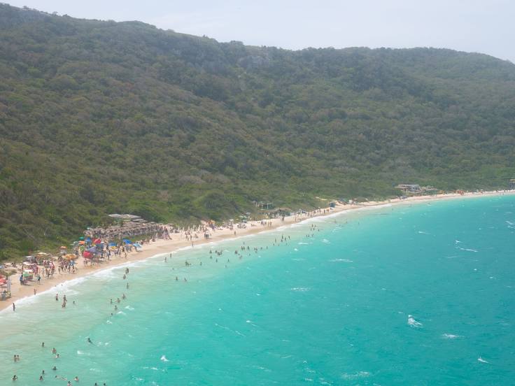
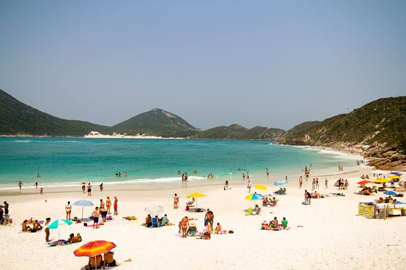
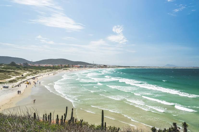
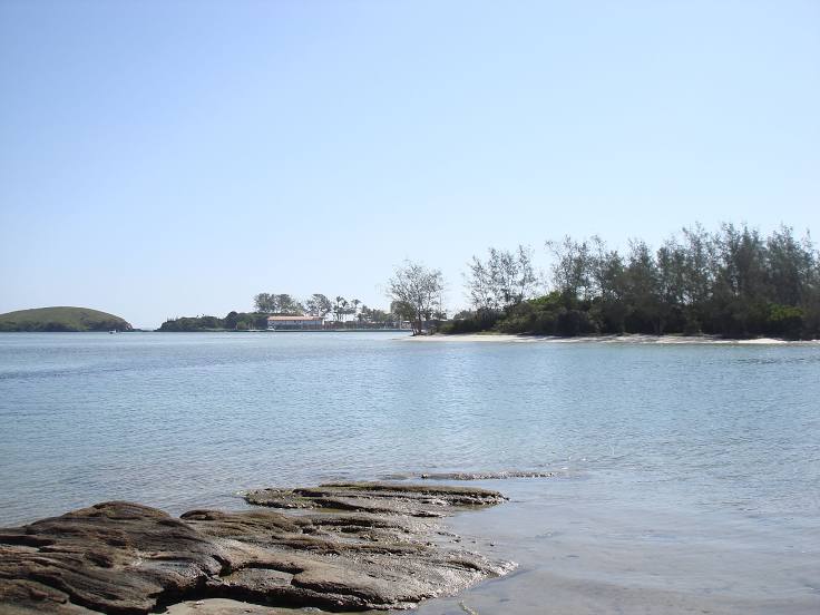
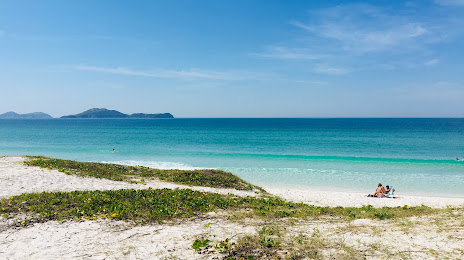
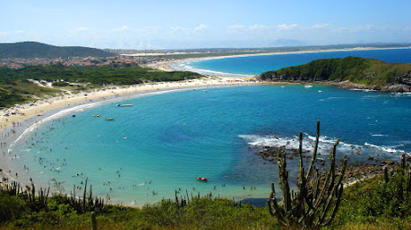
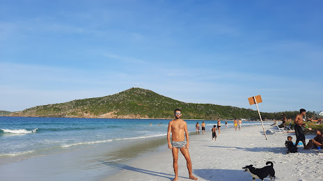
Cabo Frio — RIOgaleão - Tom Jobim International AirportRIOgaleão - Tom Jobim International Airport — Cabo Frio distance, route on the map
Distance by car
Distance between RIOgaleão - Tom Jobim International Airport, Rio de Janeiro, Brazil and Cabo Frio, Rio de Janeiro, Brazil by car is — km, or miles. To travel this distance by car, you need minute, or h.
Route on the map, driving directions
Car route RIOgaleão - Tom Jobim International Airport — Cabo Frio was created automatically. The road on the map is shown as a blue line. By moving the markers, you can create a new route through the points you need.
Passing cities through which the car route passes: Ramos, State of Rio de Janeiro, Niterói, São Gonçalo, Monjolo, Itaboraí, Tanguá, Rio Bonito, Araruama, Iguaba Grande, São Pedro da Aldeia.
Distance by plane
If you decide to take a trip RIOgaleão - Tom Jobim International Airport Cabo Frio by plane, then you have to fly the distance — 126 km or 78 miles. It is marked on the map with a gray line (between two points in a straight line).
Flight time
Estimated flight time RIOgaleão - Tom Jobim International Airport Cabo Frio by plane at cruising speed 750 km / h will be — 10 min.
Direction of movement
Brazil, RIOgaleão - Tom Jobim International Airport — right-hand traffic. Brazil, Cabo Frio — right-hand traffic.
Difference in time
RIOgaleão - Tom Jobim International Airport and Cabo Frio are in the same time zone. Between them there is no time difference (UTC -3 America/Sao_Paulo).
Interesting Facts
Information on alternative ways to get to your destination.
The length of this distance is about 0.3% of the total length of the equator.
The cost of travel
Calculate the cost of the trip yourself using the fuel consumption calculator, changing the data in the table.