Maceió International Airport - Zumbi dos Palmares — Natividade
Maceió International Airport - Zumbi dos Palmares — Bofete
Maceió International Airport - Zumbi dos Palmares — Penedo
Maceió International Airport - Zumbi dos Palmares — Capoeiras
Maceió International Airport - Zumbi dos Palmares — Macaé
Maceió International Airport - Zumbi dos Palmares — Rosário do Ivaí
Maceió International Airport - Zumbi dos Palmares — Lontras
Maceió International Airport - Zumbi dos Palmares — Mamanguape
Maceió International Airport - Zumbi dos Palmares — Álvares Machado
Maceió International Airport - Zumbi dos Palmares — Rolândia
Maceió International Airport - Zumbi dos Palmares — Amapá
Maceió International Airport - Zumbi dos Palmares — Teresina
Maceió International Airport - Zumbi dos Palmares — Senador Guiomard
Maceió International Airport - Zumbi dos Palmares — Tibau do Sul
Maceió International Airport - Zumbi dos Palmares — Formoso
Maceió International Airport - Zumbi dos Palmares — Lapa
Maceió International Airport - Zumbi dos Palmares — Itaguaru
Maceió International Airport - Zumbi dos Palmares — Araçatuba
Maceió International Airport - Zumbi dos Palmares — Catu
Messias
Flexeiras
Joaquim Gomes
Palmares
Catende
Belém de Maria
Agrestina
Caruaru
Toritama
Taquaritinga do Norte
Queimadas
See how the reverse distance goes.
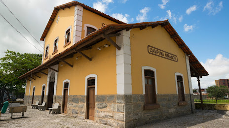
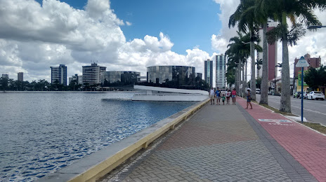
Campina Grande — Maceió International Airport - Zumbi dos PalmaresMaceió International Airport - Zumbi dos Palmares — Campina Grande distance, route on the map
Distance by car
Distance between Maceió International Airport - Zumbi dos Palmares, State of Alagoas, Brazil and Campina Grande, Paraíba, Brazil by car is — km, or miles. To travel this distance by car, you need minute, or h.
Route on the map, driving directions
Car route Maceió International Airport - Zumbi dos Palmares — Campina Grande was created automatically. The road on the map is shown as a blue line. By moving the markers, you can create a new route through the points you need.
Passing cities through which the car route passes: Rio Largo, Messias, Flexeiras, Joaquim Gomes, Palmares, Catende, Belém de Maria, Agrestina, Caruaru, Toritama, Taquaritinga do Norte, Queimadas.
Distance by plane
If you decide to take a trip Maceió International Airport - Zumbi dos Palmares Campina Grande by plane, then you have to fly the distance — 255 km or 158 miles. It is marked on the map with a gray line (between two points in a straight line).
Flight time
Estimated flight time Maceió International Airport - Zumbi dos Palmares Campina Grande by plane at cruising speed 750 km / h will be — 20 min.
Direction of movement
Brazil, Maceió International Airport - Zumbi dos Palmares — right-hand traffic. Brazil, Campina Grande — right-hand traffic.
Difference in time
Maceió International Airport - Zumbi dos Palmares and Campina Grande are in the same time zone. Between them there is no time difference (UTC -3 America/Fortaleza).
Interesting Facts
Information on alternative ways to get to your destination.
The length of this distance is about 0.6% of the total length of the equator.
The cost of travel
Calculate the cost of the trip yourself using the fuel consumption calculator, changing the data in the table.