Sao Paulo International Airport — Taiobeiras
Sao Paulo International Airport — Boa Ventura
Sao Paulo International Airport — Conceicao de Jacareí
Sao Paulo International Airport — Maracaju
Sao Paulo International Airport — Santos
Sao Paulo International Airport — Santo Antônio da Patrulha
Sao Paulo International Airport — Veranópolis
Sao Paulo International Airport — Guaçuí
Sao Paulo International Airport — São João del Rei
Sao Paulo International Airport — Capim Grosso
Sao Paulo International Airport — Queluz
Sao Paulo International Airport — Manicoré
Sao Paulo International Airport — Potirendaba
Sao Paulo International Airport — Araguanã
Sao Paulo International Airport — Altônia
Sao Paulo International Airport — Pompéia
Sao Paulo International Airport — Caxias do Sul
Sao Paulo International Airport — Carmo da Cachoeira
Sao Paulo International Airport — Lençóis
Arujá
Santa Isabel
Jacareí
São José dos Campos
Aeroporto Internacional de São José dos Campos - Professor Urbano Ernesto
Caçapava
Caçapava
Taubaté
Tremembé
Pindamonhangaba
Roseira
Aparecida
Guaratinguetá
Lorena
Canas
Cachoeira Paulista
Cruzeiro
Lavrinhas
Queluz
Itatiaia
Penedo
Resende
Porto Real
Barra Mansa
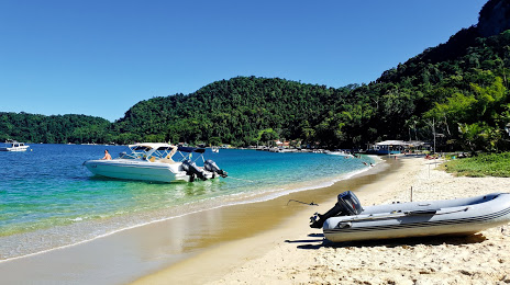
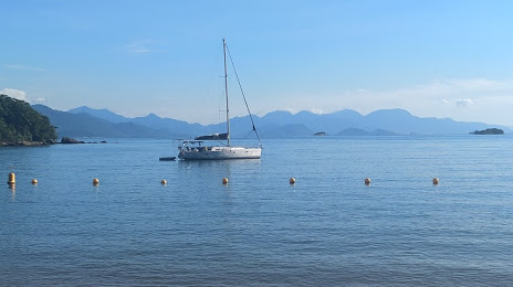
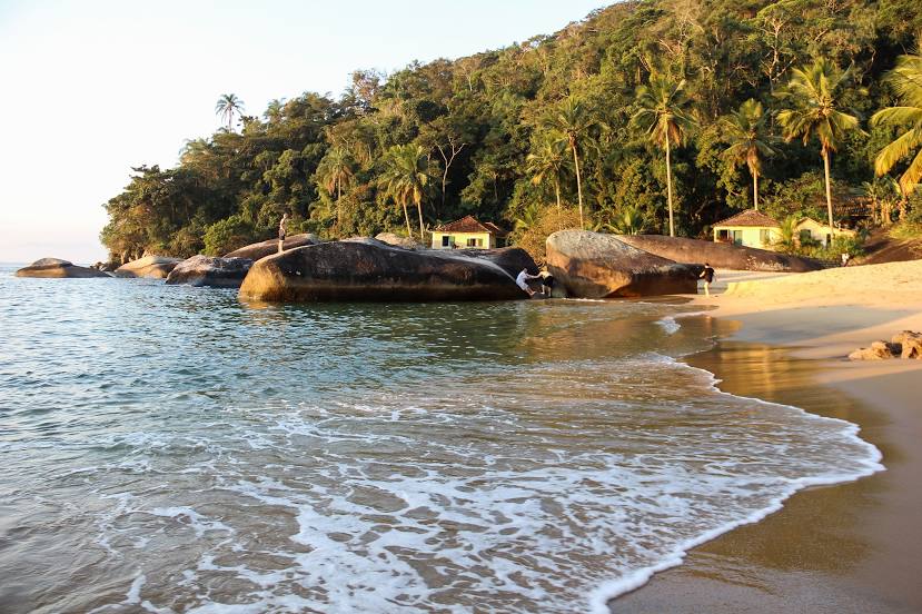
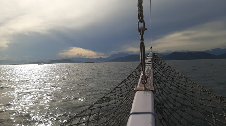
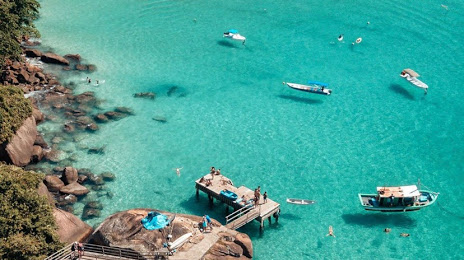
Sao Paulo International Airport — Angra dos Reis distance, route on the map
Distance by car
Distance between Sao Paulo International Airport, SP, Brazil and Angra dos Reis, State of Rio de Janeiro, Brazil by car is — km, or miles. To travel this distance by car, you need minute, or h.
Route on the map, driving directions
Car route Sao Paulo International Airport — Angra dos Reis was created automatically. The road on the map is shown as a blue line. By moving the markers, you can create a new route through the points you need.
Passing cities through which the car route passes: Sao Paulo International Airport, Arujá, Santa Isabel, Jacareí, São José dos Campos, Aeroporto Internacional de São José dos Campos - Professor Urbano Ernesto, Caçapava, Caçapava, Taubaté, Tremembé, Pindamonhangaba, Roseira, Aparecida, Guaratinguetá, Lorena, Canas, Cachoeira Paulista, Cruzeiro, Lavrinhas, Queluz, Itatiaia, Penedo, Resende, Porto Real, Barra Mansa.
Distance by plane
If you decide to take a trip Sao Paulo International Airport Angra dos Reis by plane, then you have to fly the distance — 226 km or 140 miles. It is marked on the map with a gray line (between two points in a straight line).
Flight time
Estimated flight time Sao Paulo International Airport Angra dos Reis by plane at cruising speed 750 km / h will be — 18 min.
Direction of movement
Brazil, Sao Paulo International Airport — right-hand traffic. Brazil, Angra dos Reis — right-hand traffic.
Difference in time
Sao Paulo International Airport and Angra dos Reis are in the same time zone. Between them there is no time difference (UTC -3 America/Sao_Paulo).
Interesting Facts
Information on alternative ways to get to your destination.
The length of this distance is about 0.6% of the total length of the equator.
The cost of travel
Calculate the cost of the trip yourself using the fuel consumption calculator, changing the data in the table.