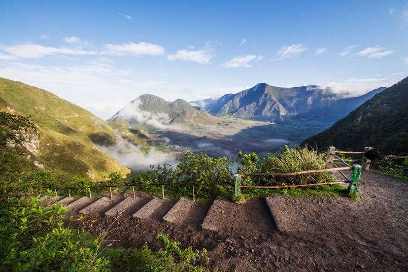
Baños de Agua Santa — Baeza
Baños de Agua Santa — Manantial de Guangala
Baños de Agua Santa — Cabuyal
Baños de Agua Santa — Naranjal
Baños de Agua Santa — Calle Mercadillo
Baños de Agua Santa — Saraguro
Baños de Agua Santa — Puerto Cayo
Baños de Agua Santa — Zaruma
Baños de Agua Santa — Cooperativa Tierras Orientales
Baños de Agua Santa — Aguas Verdes
Baños de Agua Santa — White River
Baños de Agua Santa — Isla Trinitaria
Baños de Agua Santa — Las Guardias
Baños de Agua Santa — Río de Caña
Baños de Agua Santa — Progress
Baños de Agua Santa — Ayampe
Baños de Agua Santa — Santa Elena Province
Baños de Agua Santa — Sangolqui
Baños de Agua Santa — Cumanda
Pelileo Canton
Pelileo
Salasaca
Ambato Canton
Picaihua
Ambato
Ambato
Tungurahua
Píllaro
Píllaro Canton
Parroquia Antonio José Holguín
Salcedo
Latacunga Canton
Latacunga
Pujili
Cotopaxi International Airport
Cotopaxi Province
Guaytacama
Tanicuchi
Latacunga Canton
The chaupi
Machachi
Alóag
Tambillo
Amaguaña
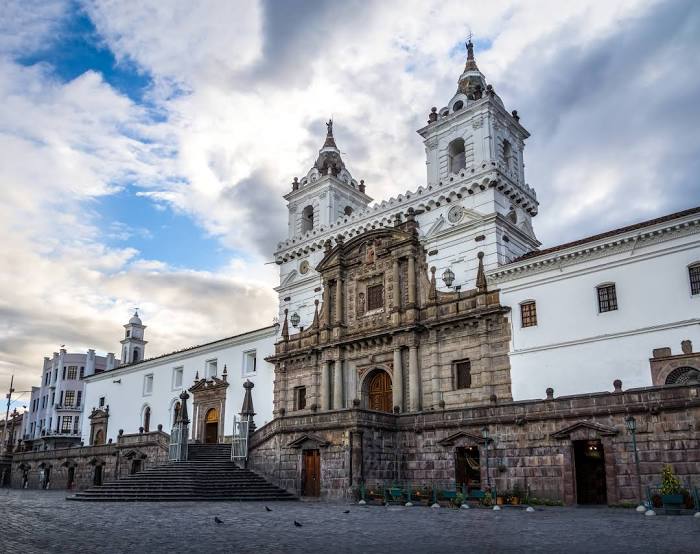
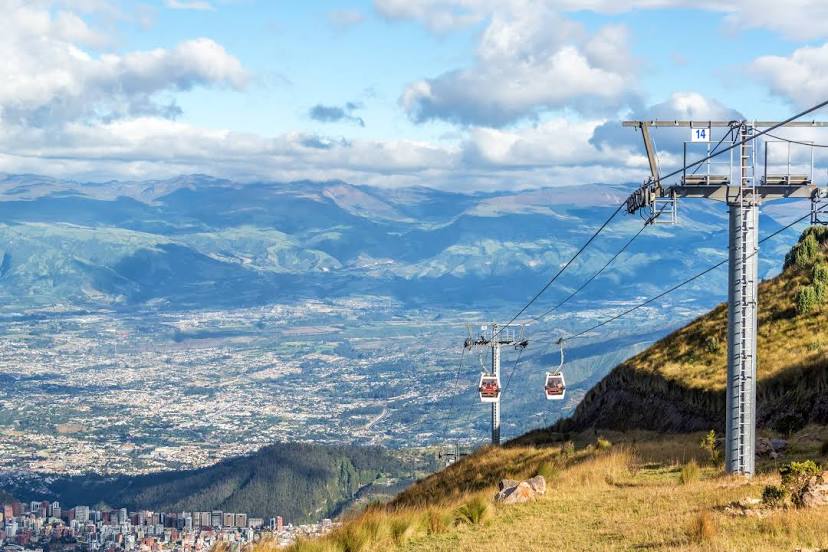
Quito
Guamani
Conocoto
Hospital Helipad
Quito
Quito
Baños de Agua Santa — Baeza
Baños de Agua Santa — Manantial de Guangala
Baños de Agua Santa — Cabuyal
Baños de Agua Santa — Naranjal
Baños de Agua Santa — Calle Mercadillo
Baños de Agua Santa — Saraguro
Baños de Agua Santa — Puerto Cayo
Baños de Agua Santa — Zaruma
Baños de Agua Santa — Cooperativa Tierras Orientales
Baños de Agua Santa — Aguas Verdes
Baños de Agua Santa — White River
Baños de Agua Santa — Isla Trinitaria
Baños de Agua Santa — Las Guardias
Baños de Agua Santa — Río de Caña
Baños de Agua Santa — Progress
Baños de Agua Santa — Ayampe
Baños de Agua Santa — Santa Elena Province
Baños de Agua Santa — Sangolqui
Baños de Agua Santa — Cumanda
Pelileo Canton
Pelileo
Salasaca
Ambato Canton
Picaihua
Ambato
Ambato
Tungurahua
Píllaro
Píllaro Canton
Parroquia Antonio José Holguín
Salcedo
Latacunga Canton
Latacunga
Pujili
Cotopaxi International Airport
Cotopaxi Province
Guaytacama
Tanicuchi
Latacunga Canton
The chaupi
Machachi
Alóag
Tambillo
Amaguaña
Quito
Guamani
Conocoto
Hospital Helipad
Quito
Quito
Baños de Agua Santa — Quito distance, route on the map
Distance by car
Distance between Baños de Agua Santa, Tungurahua, Ecuador and Quito, Pichincha, Ecuador by car is — km, or miles. To travel this distance by car, you need minute, or h.
Route on the map, driving directions
Car route Baños de Agua Santa — Quito was created automatically. The road on the map is shown as a blue line. By moving the markers, you can create a new route through the points you need.
Passing cities through which the car route passes: Huambaló, Pelileo Canton, Pelileo, Salasaca, Ambato Canton, Picaihua, Ambato, Ambato, Tungurahua, Píllaro, Píllaro Canton, Parroquia Antonio José Holguín, Salcedo, Latacunga Canton, Latacunga, Pujili, Cotopaxi International Airport, Cotopaxi Province, Guaytacama, Tanicuchi, Latacunga Canton, The chaupi, Machachi, Alóag, Tambillo, Amaguaña, Quito, Guamani, Conocoto, Hospital Helipad, Quito, Quito.
Distance by plane
If you decide to take a trip Baños de Agua Santa Quito by plane, then you have to fly the distance — 135 km or 84 miles. It is marked on the map with a gray line (between two points in a straight line).
Flight time
Estimated flight time Baños de Agua Santa Quito by plane at cruising speed 750 km / h will be — 10 min.
Direction of movement
Ecuador, Baños de Agua Santa — right-hand traffic. Ecuador, Quito — right-hand traffic.
Difference in time
Baños de Agua Santa and Quito are in the same time zone. Between them there is no time difference (UTC -5 America/Guayaquil).
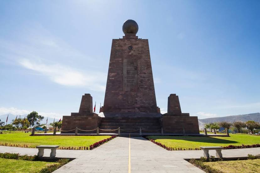
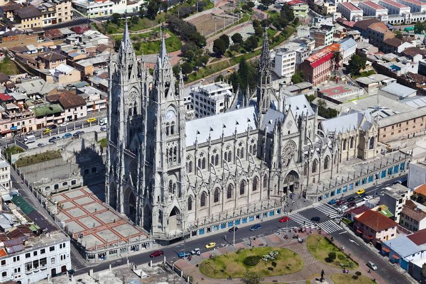
Interesting Facts
Information on alternative ways to get to your destination.
The length of this distance is about 0.3% of the total length of the equator.
The cost of travel
Calculate the cost of the trip yourself using the fuel consumption calculator, changing the data in the table.