 Delight
Chiapas
The delights
Uxmal
Cantarranas
San Andres Huayapam
New Lion
Molango
Federal District
Francisco Sarabia International Airport
Ángel Albino Corzo International Airport
Acapulco International Airport
General Ignacio Pesqueira García International Airport
General Francisco Mujica International Airport
Lic. Jesús Terán Peredo International Airport
Hermanos Serdán International Airport
Plan de Guadalupe International Airport
Miguel Hidalgo y Costilla International Airport
General Roberto Fierro Villalobos International Airport
Delight
Chiapas
The delights
Uxmal
Cantarranas
San Andres Huayapam
New Lion
Molango
Federal District
Francisco Sarabia International Airport
Ángel Albino Corzo International Airport
Acapulco International Airport
General Ignacio Pesqueira García International Airport
General Francisco Mujica International Airport
Lic. Jesús Terán Peredo International Airport
Hermanos Serdán International Airport
Plan de Guadalupe International Airport
Miguel Hidalgo y Costilla International Airport
General Roberto Fierro Villalobos International Airport
León on the map, Mexico
Where is located León
Exact location — León, León, Guanajuato, Mexico, marked on the map with a red marker.
Coordinates
León, Mexico coordinates in decimal format: latitude — 21.1250077, longitude — -101.6859605. When converted to degrees, minutes, seconds León has the following coordinates: 21°7′30.03 north latitude and -101°41′9.46 east longitude.
Population
León, León, Guanajuato, Mexico, according to our data the population is — 1,114,626 residents, which is about 0.9% of the total population of the country (Mexico).
Comparison of the population on the graph:
Exact time
Time zone for this location León — UTC -6 America/Mexico_City. Exact time — sunday, 5 may 2024 year, 20 h. 15 minutes.
Sunrise and sunset
León, sunrise and sunset data for a date — sunday 5.05.2024.
| Sunrise | Sunset | Day (duration) |
|---|---|---|
| 06:15 -1 minute | 19:10 -0 minutes | 12 h. 54 minutes. +1 minute |
You can control the scale of the map using the auxiliary tools to find out exactly where it is located León. When you change the scale of the map, the width of the ruler also changes (in kilometers and miles).
Nearby cities
The largest cities that are located nearby:
- Irapuato — 60 km
- Salamanca — 80 km
- Aguascalientes — 105 km
- Celaya — 112 km
- San Luis Potosi — 135 km
- Zamora — 140 km
- Soledad de Graciano Sánchez — 140 km
- Santiago de Querétaro — 147 km
- Morelia — 165 km
- Tonalá — 170 km
- Tlaquepaque — 177 km
- Guadalajara — 180 km
- Zapopan — 186 km
- Uruapan — 194 km
- San Juan del Río — 195 km
- Zacatecas — 204 km
- Fresnillo — 256 km
- Toluca — 294 km
- Colima — 297 km
Distance to neighboring capitals:
- Guatemala City
 (Guatemala) — 1384 km
 - Belmopan
 (Belize) — 1423 km
 - Tegucigalpa
 (Honduras) — 1721 km
 - Washington
 (United States) — 3072 km
 - Ottawa
 (Canada) — 3593 km
 - Saint John
 (Puerto Rico) — 3728 km
 - Belgrade
 (Serbia) — 10638 km
 - Podgorica
 (Montenegro) — 10718 km
 - Hagåtña
 (Guam) — 11810 km
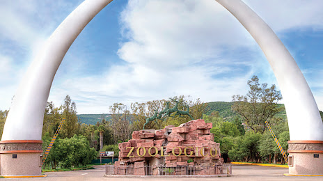
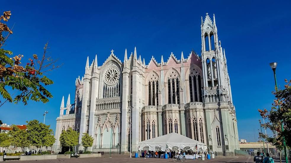
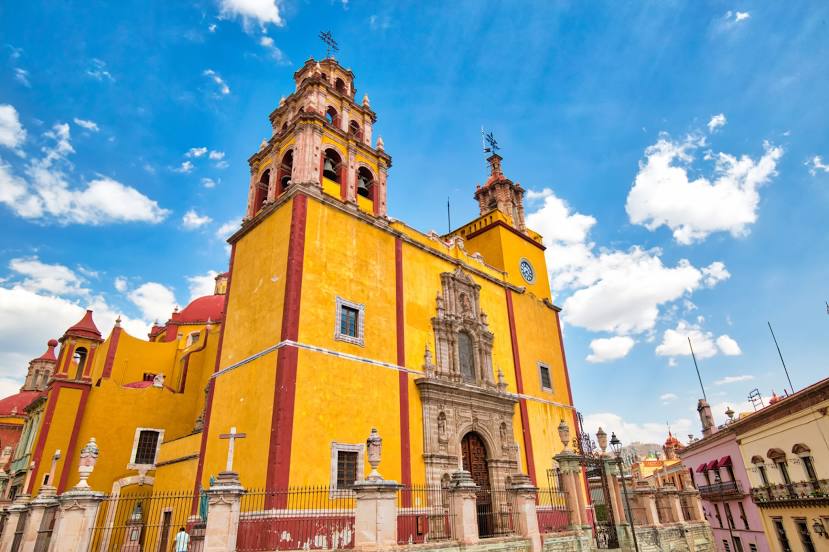
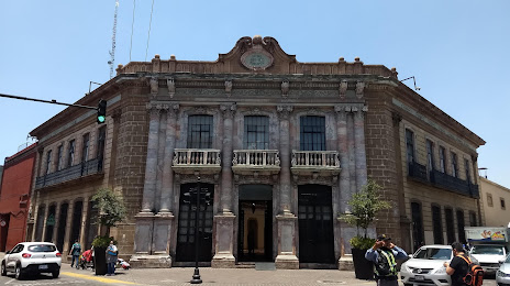
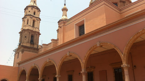
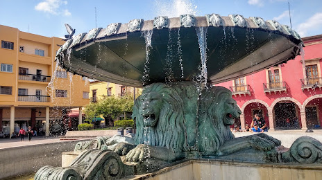
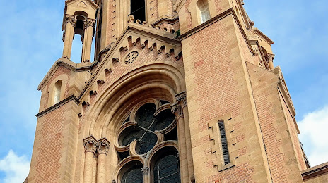
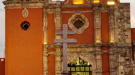
Attractions


Distance to the capital
Distance to the capital (Mexico City) is about — 326 km.