
 Sidra
Choroszcz
Czarna Białostocka
Mieszkowice
Krzepice
Twardogora
Słupno
Wyszogród
Konstantynów Łódzki
Stawiszyn
Walcz
Dobroszyce
Siechnice
Gorzyce
Wojkowice
Deblin
Harasiuki
Ostrzeszow
Przeworsk
Sidra
Choroszcz
Czarna Białostocka
Mieszkowice
Krzepice
Twardogora
Słupno
Wyszogród
Konstantynów Łódzki
Stawiszyn
Walcz
Dobroszyce
Siechnice
Gorzyce
Wojkowice
Deblin
Harasiuki
Ostrzeszow
Przeworsk
Pszczyna on the map, Poland
Where is located Pszczyna
Exact location — Pszczyna, Pszczyna County, Silesian Voivodeship, Poland, marked on the map with a red marker.
Coordinates
Pszczyna, Poland coordinates in decimal format: latitude — 49.9857805, longitude — 18.9477092. When converted to degrees, minutes, seconds Pszczyna has the following coordinates: 49°59′8.81 north latitude and 18°56′51.75 east longitude.
Population
Pszczyna, Pszczyna County, Silesian Voivodeship, Poland, according to our data the population is — 25,288 residents, which is about 0.1% of the total population of the country (Poland).
Comparison of the population on the graph:
Exact time
Time zone for this location Pszczyna — UTC +2 Europe/Warsaw. Exact time — thursday, 5 may 2024 year, 20 h. 52 minutes.
Sunrise and sunset
Pszczyna, sunrise and sunset data for a date — thursday 9.05.2024.
| Sunrise | Sunset | Day (duration) |
|---|---|---|
| 05:10 -1 minute | 20:11 +2 minutes | 15 h. 0 minutes. +3 minutes |
You can control the scale of the map using the auxiliary tools to find out exactly where it is located Pszczyna. When you change the scale of the map, the width of the ruler also changes (in kilometers and miles).
Nearby cities
The largest cities that are located nearby:
- Bielsko-Biala — 20 km
- Ruda Slaska — 31 km
- Rybnik — 31 km
- Katowice — 31 km
- Chorzow — 34 km
- Sosnowiec — 35 km
- Zabrze — 39 km
- Gliwice — 39 km
- Bytom — 40 km
- Dabrowa Gornicza — 41 km
- Ostrava
 (Czech Republic) — 52 km
 - Kraków — 71 km
- Częstochowa — 92 km
- Opole — 105 km
- Olomouc (Czech Republic) — 129 km
- Tarnow — 145 km
- Kielce — 152 km
- Wrocław — 182 km
- Brno (Czech Republic) — 190 km
Distance to neighboring capitals:
- Bratislava
 (Slovakia) — 245 km
 - Vienna
 (Austria) — 272 km
 - Budapest
 (Hungary) — 277 km
 - Prague (Czech Republic) — 322 km
- Berlin
 (Germany) — 478 km
 - Belgrade
 (Serbia) — 589 km
 - Vilnius
 (Lithuania) — 677 km
 - Minsk
 (Belarus) — 733 km
 - Copenhagen
 (Denmark) — 764 km
 - Bucharest
 (Romania) — 821 km
 - Kyiv
 (Ukraine) — 825 km
 - Rīga
 (Latvia) — 846 km
 - Bern
 (Switzerland) — 912 km
 - Amsterdam
 (Netherlands) — 1013 km
 - Helsinki
 (Finland) — 1194 km
 - Paris
 (France) — 1205 km
 - Moscow
 (Russia) — 1402 km
 - Tbilisi
 (Georgia) — 2188 km
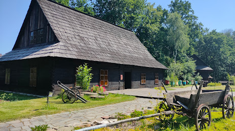
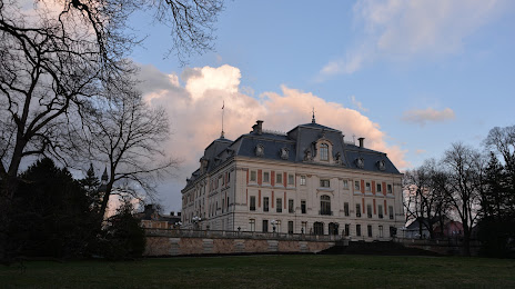
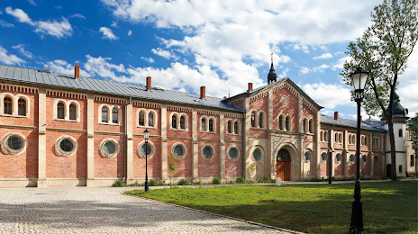
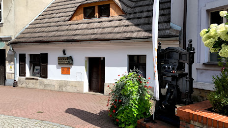
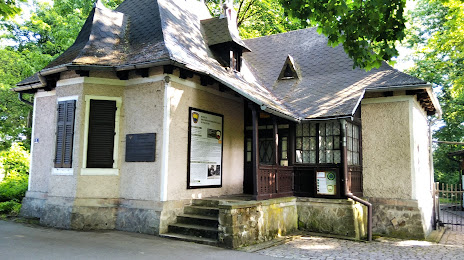
Attractions


Distance to the capital
Distance to the capital (Warsaw) is about — 288 km.