
 Lazcano
Helechosa de los Montes
Barcelona
Roncesvalles
Barcelona
Barcelona
Paradaseca
Trabadelo
Camarles
Arcos de la Frontera
Fuente del Rey
Villaverde
Valencia
Seville
Rosas
Canary Islands
Barcelona
Sevilla
Vila-real
Lazcano
Helechosa de los Montes
Barcelona
Roncesvalles
Barcelona
Barcelona
Paradaseca
Trabadelo
Camarles
Arcos de la Frontera
Fuente del Rey
Villaverde
Valencia
Seville
Rosas
Canary Islands
Barcelona
Sevilla
Vila-real
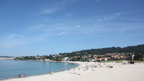
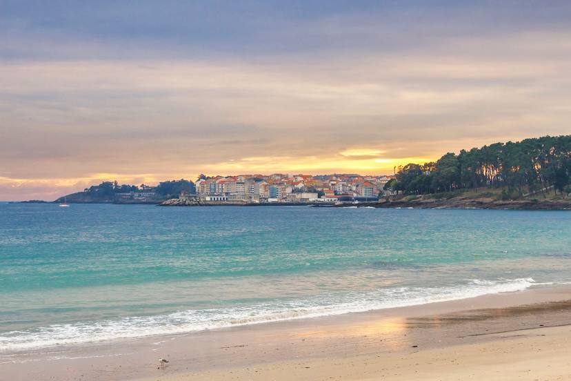
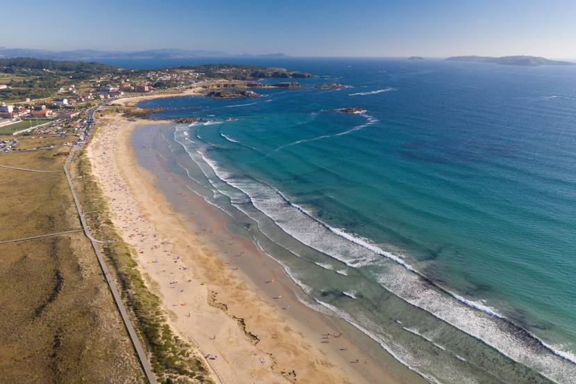
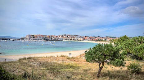
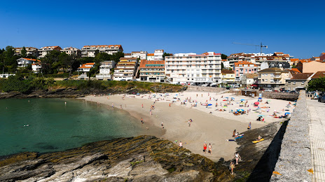
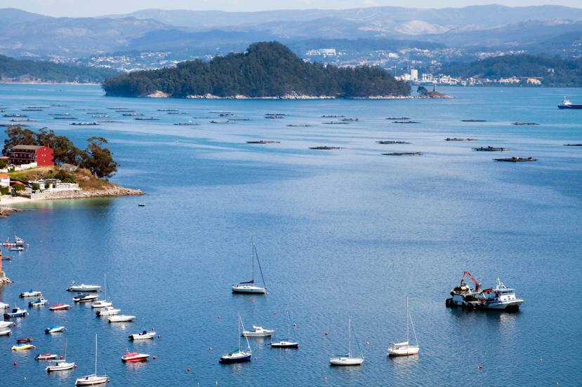
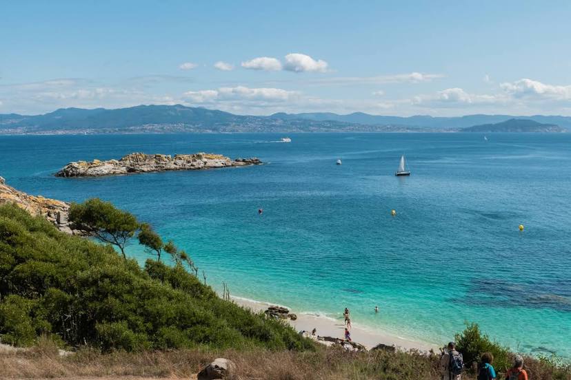
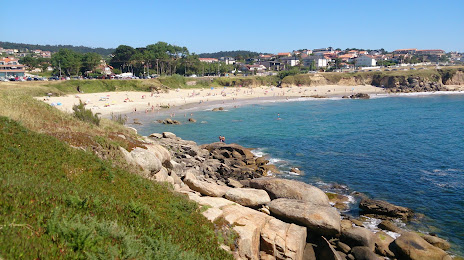
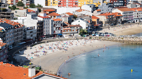
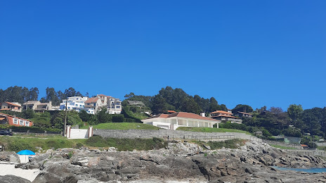
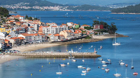
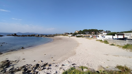
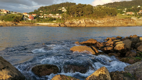
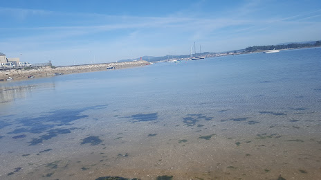
Sanxenxo on the map, Spain
Where is located Sanxenxo
Exact location — Sanxenxo, Pontevedra, Galicia, Spain, marked on the map with a red marker.
Coordinates
Sanxenxo, Spain coordinates in decimal format: latitude — 42.4033003, longitude — -8.8113591. When converted to degrees, minutes, seconds Sanxenxo has the following coordinates: 42°24′11.88 north latitude and -8°48′40.89 east longitude.
Population
Sanxenxo, Pontevedra, Galicia, Spain, according to our data the population is — 17,315 residents, which is about 0% of the total population of the country (Spain).
Comparison of the population on the graph:
Exact time
Time zone for this location Sanxenxo — UTC +2 Europe/Madrid. Exact time — thursday, 5 may 2024 year, 07 h. 24 minutes.
Sunrise and sunset
Sanxenxo, sunrise and sunset data for a date — thursday 2.05.2024.
| Sunrise | Sunset | Day (duration) |
|---|---|---|
| 07:31 -1 minute | 21:32 +1 minute | 14 h. 0 minutes. +2 minutes |
You can control the scale of the map using the auxiliary tools to find out exactly where it is located Sanxenxo. When you change the scale of the map, the width of the ruler also changes (in kilometers and miles).
Nearby cities
The largest cities that are located nearby:
- Vigo — 19 km
- Ourense — 78 km
- Braga
 (Portugal) — 100 km
 - A Coruña — 111 km
- Porto (Portugal) — 139 km
- Coimbra (Portugal) — 246 km
- Oviedo — 261 km
- León — 265 km
- Gijón — 282 km
- Salamanca — 307 km
- Valladolid — 348 km
- Amadora (Portugal) — 405 km
- Queluz (Portugal) — 405 km
- Lisbon (Portugal) — 408 km
- Burgos — 418 km
- Santander — 418 km
- Badajoz — 421 km
- Móstoles — 476 km
- Alcorcón — 478 km
Distance to neighboring capitals:
- Lisbon (Portugal) — 410 km
- Andorra la Vella
 (Andorra) — 848 km
 - Rabat
 (Morocco) — 953 km
 - Paris
 (France) — 1125 km
 - Paris (France) — 1125 km
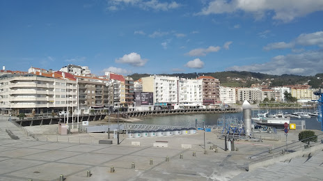
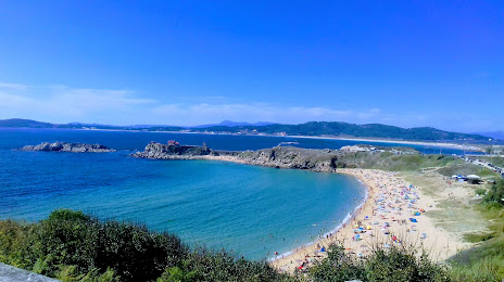
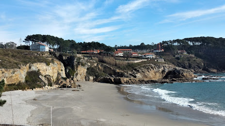
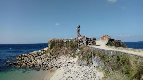
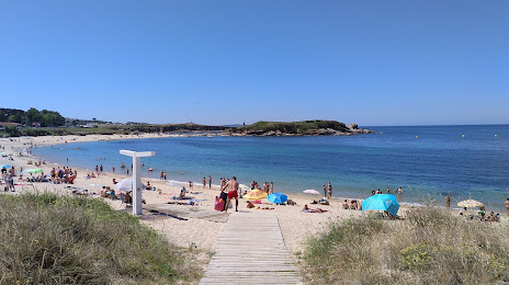
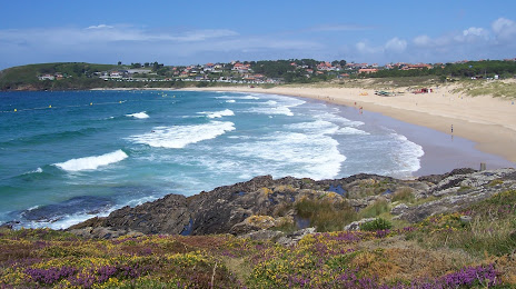
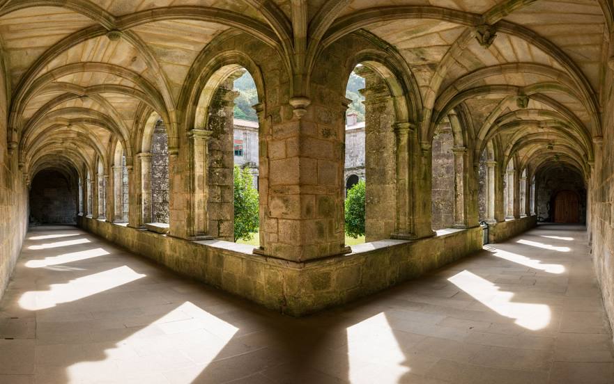
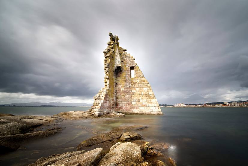
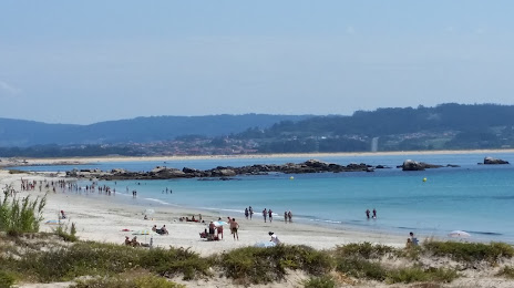
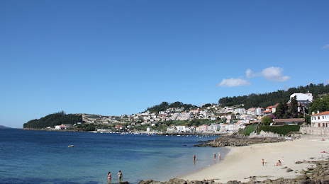
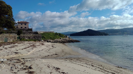
Attractions


Distance to the capital
Distance to the capital (Madrid) is about — 480 km.