Campina Grande — Planaltina
Campina Grande — São Paulo
Campina Grande — Rio Novo
Campina Grande — Iraquara
Campina Grande — Poranga
Campina Grande — Juquitiba
Campina Grande — Jerônimo Monteiro
Campina Grande — Embu das Artes
Campina Grande — Lebon Régis
Campina Grande — Nova Palma
Campina Grande — Alvorada do Sul
Campina Grande — Pestana
Campina Grande — Santa Brígida
Campina Grande — Guatambú
Campina Grande — Mariana
Campina Grande — Jati
Campina Grande — General Câmara
Campina Grande — Igaratá
Campina Grande — Pôrto Acre
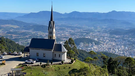
Campina Grande — Guaramirim distance, route on the map
Distance by car
Distance between Campina Grande, Paraíba, Brazil and Guaramirim, Santa Catarina, Brazil by car is — km, or miles. To travel this distance by car, you need minute, or h.
Route on the map, driving directions
Car route Campina Grande — Guaramirim was created automatically. The road on the map is shown as a blue line. By moving the markers, you can create a new route through the points you need.
Distance by plane
If you decide to take a trip Campina Grande Guaramirim by plane, then you have to fly the distance — 2552 km or 1582 miles. It is marked on the map with a gray line (between two points in a straight line).
Flight time
Estimated flight time Campina Grande Guaramirim by plane at cruising speed 750 km / h will be — 3 h. and 24 min.
Direction of movement
Brazil, Campina Grande — right-hand traffic. Brazil, Guaramirim — right-hand traffic.
Difference in time
Campina Grande and Guaramirim are in the same time zone. Between them there is no time difference (UTC -3 America/Fortaleza).
Interesting Facts
Information on alternative ways to get to your destination.
The length of this distance is about 6.4% of the total length of the equator.
The percentage of the population is clearly shown in the graph:
Campina Grande — 348,936, Guaramirim — 21,422 residents (less by 327,514).
The cost of travel
Calculate the cost of the trip yourself using the fuel consumption calculator, changing the data in the table.