Zamora-Chinchipe — Santo Domingo
Zamora-Chinchipe — Copal
Zamora-Chinchipe — The Piedrero
Zamora-Chinchipe — Velacruz
Zamora-Chinchipe — Vinces
Zamora-Chinchipe — Llagos
Zamora-Chinchipe — Shell
Zamora-Chinchipe — Río de Caña
Zamora-Chinchipe — Santa Cruz Island
Zamora-Chinchipe — Lluzhapa
Zamora-Chinchipe — Alóag
Zamora-Chinchipe — Tungurahua
Zamora-Chinchipe — Palora
Zamora-Chinchipe — El Lucero
Zamora-Chinchipe — San Miguel
Zamora-Chinchipe — Balsa Real
Zamora-Chinchipe — Sucumbios
Zamora-Chinchipe — Puela
Zamora-Chinchipe — Guachalá
Timbara
Cumbaratza
El Chamica
La Saquea
Panguintza
Zumbi
Yantzaza
Chicaña
The meetings
Pincho
Pachicutza
El Pangui
Chuchumblezo
Bomboiza
Gualaquiza
Gualaquiza
San Juan Bosco
General Leonidasplaza Gutierez
El Carmen
Méndez
Patuca
Tayuza
Logroño
El Tesoro
Sucúa
White River
Macas
San Isidro
Zúñac
El Tingo
You baited
Flowers
Punín
Riobamba
Chimborazo Province
Edificio Aeropuerto
San Andrés
Urbina
Mocha Canton
Yanayacu
Mocha
Yanahurco el Centro
Tisaleo Canton
Montalvo
Tisaleo
Manzana de Oro
Ambato
Picaihua
Ambato
Tungurahua
Píllaro
Píllaro Canton
Parroquia Antonio José Holguín
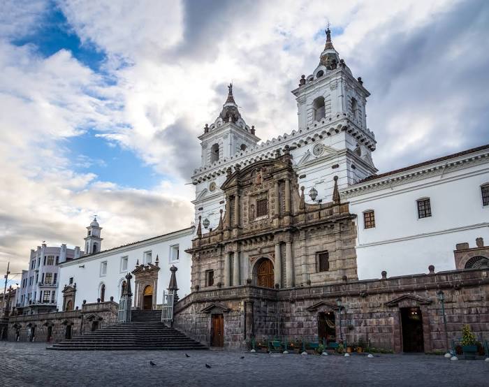
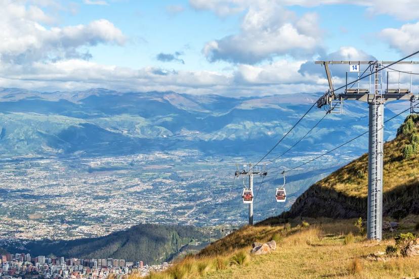
Zamora-Chinchipe — Quito distance, route on the map
Distance by car
Distance between Zamora-Chinchipe, Zamora-Chinchipe, Ecuador and Quito, Pichincha, Ecuador by car is — km, or miles. To travel this distance by car, you need minute, or h.
Route on the map, driving directions
Car route Zamora-Chinchipe — Quito was created automatically. The road on the map is shown as a blue line. By moving the markers, you can create a new route through the points you need.
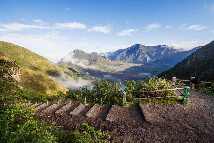
Passing cities through which the car route passes: Zamora, Timbara, Cumbaratza, El Chamica, La Saquea, Panguintza, Zumbi, Yantzaza, Chicaña, The meetings, Pincho, Pachicutza, El Pangui, Chuchumblezo, Bomboiza, Gualaquiza, Gualaquiza, San Juan Bosco, General Leonidasplaza Gutierez, El Carmen, Méndez, Patuca, Tayuza, Logroño, El Tesoro, Sucúa, White River, Macas, San Isidro, Zúñac, El Tingo, You baited, Flowers, Punín, Riobamba, Chimborazo Province, Edificio Aeropuerto, San Andrés, Urbina, Mocha Canton, Yanayacu, Mocha, Yanahurco el Centro, Tisaleo Canton, Montalvo, Tisaleo, Manzana de Oro, Ambato, Picaihua, Ambato, Tungurahua, Píllaro, Píllaro Canton, Parroquia Antonio José Holguín.
Distance by plane
If you decide to take a trip Zamora-Chinchipe Quito by plane, then you have to fly the distance — 444 km or 275 miles. It is marked on the map with a gray line (between two points in a straight line).
Flight time
Estimated flight time Zamora-Chinchipe Quito by plane at cruising speed 750 km / h will be — 35 min.
Direction of movement
Ecuador, Zamora-Chinchipe — right-hand traffic. Ecuador, Quito — right-hand traffic.
Difference in time
Zamora-Chinchipe and Quito are in the same time zone. Between them there is no time difference (UTC -5 America/Guayaquil).
Interesting Facts
Information on alternative ways to get to your destination.
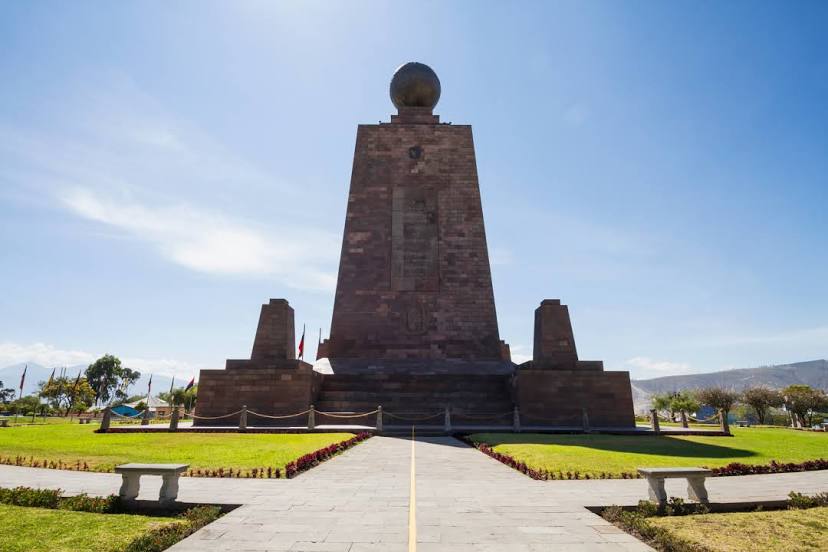
The length of this distance is about 1.1% of the total length of the equator.
The cost of travel
Calculate the cost of the trip yourself using the fuel consumption calculator, changing the data in the table.