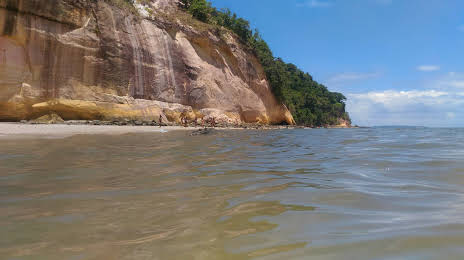
Old Mission — Pontal do Paraná
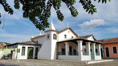
Old Mission — Moreira Sales
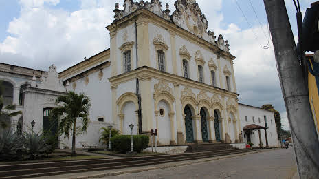
Old Mission — Porto Seguro
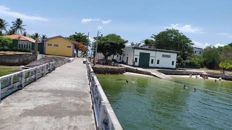
Old Mission — Xangri-lá
Old Mission — Sales Oliveira
Old Mission — Jacaraci
Old Mission — Uraí
Old Mission — Colombo
Old Mission — Realeza
Old Mission — Itapira
Old Mission — Brazil
Old Mission — Catas Altas
Old Mission — Terra de Areia
Old Mission — São Domingos de Pombal
Old Mission — Amparo
Old Mission — State of Paraíba
Old Mission — Prado
Old Mission — Korea
Brejo Santo
Jati
Salgueiro
Euclides da Cunha
Tucano
Araci
Teofilândia
Serrinha
Santa Bárbara
Feira de Santana
Old Mission — Pontal do Paraná
Old Mission — Moreira Sales
Old Mission — Porto Seguro
Old Mission — Xangri-lá
Old Mission — Sales Oliveira
Old Mission — Jacaraci
Old Mission — Uraí
Old Mission — Colombo
Old Mission — Realeza
Old Mission — Itapira
Old Mission — Brazil
Old Mission — Catas Altas
Old Mission — Terra de Areia
Old Mission — São Domingos de Pombal
Old Mission — Amparo
Old Mission — State of Paraíba
Old Mission — Prado
Old Mission — Korea
Brejo Santo
Jati
Salgueiro
Euclides da Cunha
Tucano
Araci
Teofilândia
Serrinha
Santa Bárbara
Feira de Santana
Old Mission — Cachoeira distance, route on the map
Distance by car
Distance between Old Mission, Ceará, Brazil and Cachoeira, Bahia, Brazil by car is — km, or miles. To travel this distance by car, you need minute, or h.
Route on the map, driving directions
Car route Old Mission — Cachoeira was created automatically. The road on the map is shown as a blue line. By moving the markers, you can create a new route through the points you need.
Passing cities through which the car route passes: Milagres, Brejo Santo, Jati, Salgueiro, Euclides da Cunha, Tucano, Araci, Teofilândia, Serrinha, Santa Bárbara, Feira de Santana.
Distance by plane
If you decide to take a trip Old Mission Cachoeira by plane, then you have to fly the distance — 596 km or 370 miles. It is marked on the map with a gray line (between two points in a straight line).
Flight time
Estimated flight time Old Mission Cachoeira by plane at cruising speed 750 km / h will be — 47 min.
Direction of movement
Brazil, Old Mission — right-hand traffic. Brazil, Cachoeira — right-hand traffic.
Difference in time
Old Mission and Cachoeira are in the same time zone. Between them there is no time difference (UTC -3 America/Fortaleza).
Interesting Facts
Information on alternative ways to get to your destination.
The length of this distance is about 1.5% of the total length of the equator.
The percentage of the population is clearly shown in the graph:
Old Mission — 13,106 (less by 3,039), Cachoeira — 16,145 residents.
The cost of travel
Calculate the cost of the trip yourself using the fuel consumption calculator, changing the data in the table.