 Nunavut
Glenarm
Lincolnville
Eastmain
East Gwillimbury
Bergland
Saints-Anges
Sainte-Foy-Sillery-Cap-Rouge
Saint Anthony
Springwater Lakes
Saint-Gabriel-de-Brandon
L'Anse-de-Roche
Percé
Alberta
Prince Edward Island
La Salle
Nova Scotia
London
St. John's
Nunavut
Glenarm
Lincolnville
Eastmain
East Gwillimbury
Bergland
Saints-Anges
Sainte-Foy-Sillery-Cap-Rouge
Saint Anthony
Springwater Lakes
Saint-Gabriel-de-Brandon
L'Anse-de-Roche
Percé
Alberta
Prince Edward Island
La Salle
Nova Scotia
London
St. John's
Milton on the map, Canada
Where is located Milton
Exact location — Milton, Halton Regional Municipality, Ontario, Canada, marked on the map with a red marker.
Coordinates
Milton, Canada coordinates in decimal format: latitude — 43.5182991, longitude — -79.8774042. When converted to degrees, minutes, seconds Milton has the following coordinates: 43°31′5.88 north latitude and -79°52′38.66 east longitude.
Population
Milton, Halton Regional Municipality, Ontario, Canada, according to our data the population is — 84,362 residents, which is about 0.2% of the total population of the country (Canada).
Comparison of the population on the graph:
Exact time
Time zone for this location Milton — UTC -4 America/Toronto. Exact time — sunday, 4 april 2024 year, 07 h. 53 minutes.
Sunrise and sunset
Milton, sunrise and sunset data for a date — sunday 28.04.2024.
| Sunrise | Sunset | Day (duration) |
|---|---|---|
| 06:18 -2 minutes | 20:15 +1 minute | 14 h. 0 minutes. +3 minutes |
You can control the scale of the map using the auxiliary tools to find out exactly where it is located Milton. When you change the scale of the map, the width of the ruler also changes (in kilometers and miles).
Nearby cities
The largest cities that are located nearby:
- Oakville — 16 km
- Mississauga — 20 km
- Burlington — 22 km
- Brampton — 25 km
- Hamilton — 30 km
- Guelph — 30 km
- Cambridge — 39 km
- Toronto — 42 km
- Vaughan — 46 km
- Kitchener — 50 km
- Waterloo — 52 km
- Richmond Hill — 53 km
- Markham — 57 km
- Saint Catharines — 65 km
- Whitby — 85 km
- Oshawa — 91 km
- Barrie — 97 km
- Amherst
 (United States) — 106 km
 - Buffalo (United States) — 107 km
Distance to neighboring capitals:
- Washington (United States) — 565 km
- Nuuk
 (Greenland) — 2898 km
 - Saint John
 (Puerto Rico) — 3071 km
 - Mexico City
 (Mexico) — 3225 km
 - Belgrade
 (Serbia) — 7438 km
 - Podgorica
 (Montenegro) — 7529 km
 - Hagåtña
 (Guam) — 12231 km
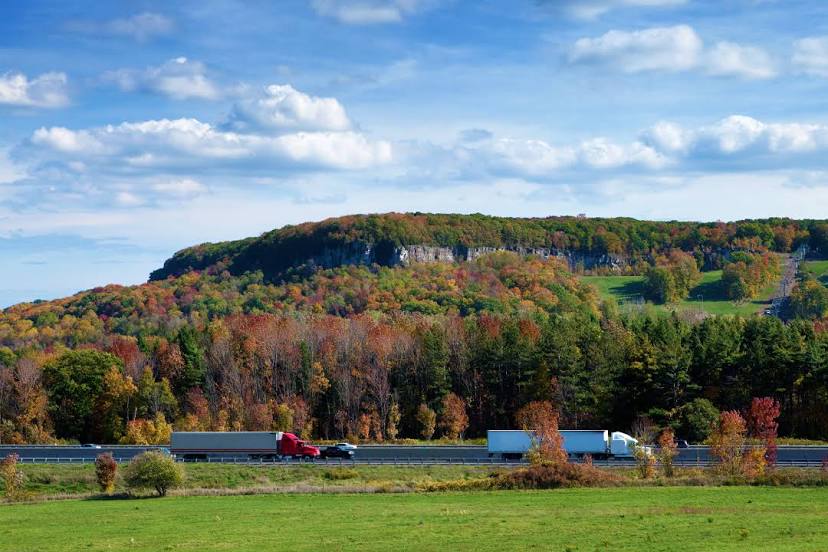
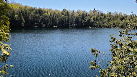
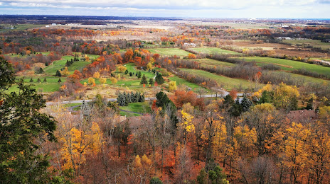
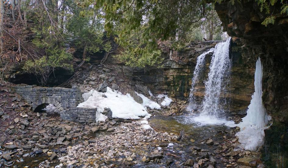
Attractions


Distance to the capital
Distance to the capital (Ottawa) is about — 393 km.