 Tenango de Doria
Saint Barbara
New Frontier
Bacalar
Acayucan
La Tinaja
General Escobedo
Arteaga Pavilion
Rincon de Romos
Yago Station
The Canoíta
I Aeromexico
Mulege
San Agustin Tlaxiaca
Juarez
Los Gomez
Cataviña
El Crucero
Villa Misol-Ha
Tenango de Doria
Saint Barbara
New Frontier
Bacalar
Acayucan
La Tinaja
General Escobedo
Arteaga Pavilion
Rincon de Romos
Yago Station
The Canoíta
I Aeromexico
Mulege
San Agustin Tlaxiaca
Juarez
Los Gomez
Cataviña
El Crucero
Villa Misol-Ha
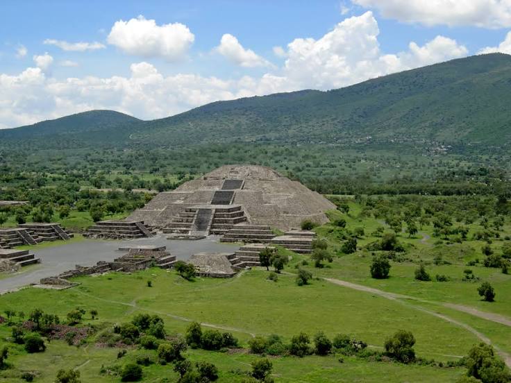
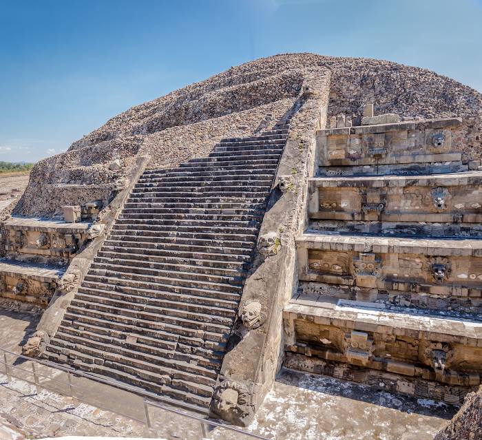
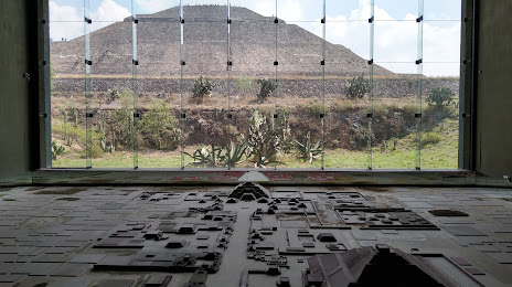
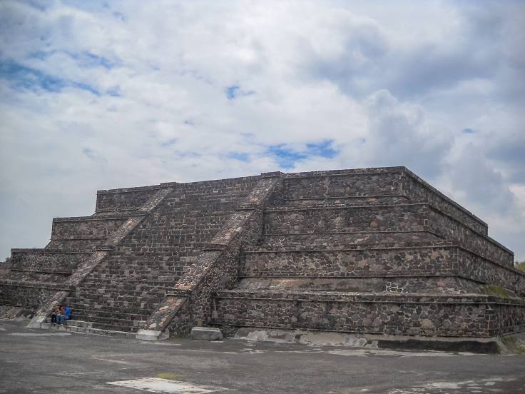
Teotihuacán de Arista on the map, Mexico
Where is located Teotihuacán de Arista
Exact location — Teotihuacán de Arista, San Juan Teotihuacán, Estado de México, Mexico, marked on the map with a red marker.
Coordinates
Teotihuacán de Arista, Mexico coordinates in decimal format: latitude — 19.685267, longitude — -98.8721186. When converted to degrees, minutes, seconds Teotihuacán de Arista has the following coordinates: 19°41′6.96 north latitude and -98°52′19.63 east longitude.
Population
Teotihuacán de Arista, San Juan Teotihuacán, Estado de México, Mexico, according to our data the population is — 22,541 residents, which is about 0% of the total population of the country (Mexico).
Comparison of the population on the graph:
Exact time
Time zone for this location Teotihuacán de Arista — UTC -6 America/Mexico_City. Exact time — monday, 4 april 2024 year, 05 h. 50 minutes.
Sunrise and sunset
Teotihuacán de Arista, sunrise and sunset data for a date — monday 29.04.2024.
| Sunrise | Sunset | Day (duration) |
|---|---|---|
| 06:09 -1 minute | 18:55 -0 minutes | 12 h. 48 minutes. +1 minute |
You can control the scale of the map using the auxiliary tools to find out exactly where it is located Teotihuacán de Arista. When you change the scale of the map, the width of the ruler also changes (in kilometers and miles).
Nearby cities
The largest cities that are located nearby:
- Ojo de Agua — 17 km
- Texcoco — 20 km
- Ecatepec — 21 km
- Coacalco — 25 km
- Chimalhuacan — 30 km
- Buenavista — 33 km
- Ciudad Nezahualcóyotl — 34 km
- Tlalnepantla — 37 km
- Cuautitlán Izcalli — 40 km
- Ixtapaluca — 42 km
- Ciudad López Mateos — 44 km
- Naucalpan — 44 km
- Chalco de Díaz Covarrubias — 47 km
- Pachuca — 47 km
- Tulancingo — 68 km
- Metepec — 90 km
- Cuernavaca — 92 km
- Toluca — 93 km
- Jiutepec — 94 km
Distance to neighboring capitals:
- Guatemala City
 (Guatemala) — 1050 km
 - Belmopan
 (Belize) — 1100 km
 - Tegucigalpa
 (Honduras) — 1387 km
 - Washington
 (United States) — 2994 km
 - Saint John
 (Puerto Rico) — 3442 km
 - Ottawa
 (Canada) — 3566 km
 - Belgrade
 (Serbia) — 10584 km
 - Podgorica
 (Montenegro) — 10651 km
 - Hagåtña
 (Guam) — 12142 km
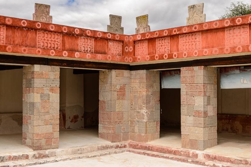
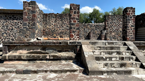
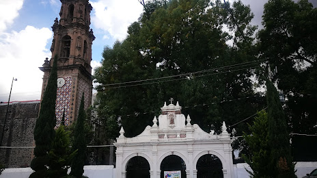
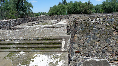
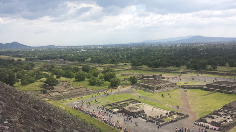
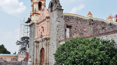
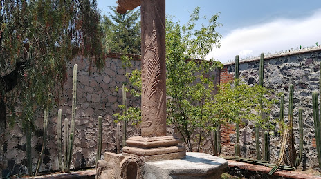
Attractions


Distance to the capital
Distance to the capital (Mexico City) is about — 39 km.