Rincon de Romos — Villa de Juárez
Rincon de Romos — Coicoyán de las Flores
Rincon de Romos — San Nicolás Tolentino
Rincon de Romos — San Juan Unión
Rincon de Romos — Acapetahua
Rincon de Romos — San Miguel I
Rincon de Romos — Barra de Navidad
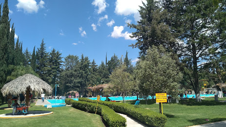
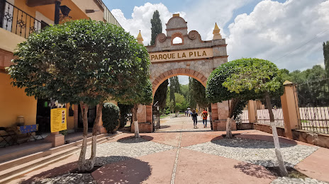
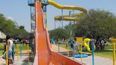
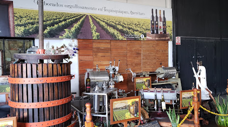
Rincon de Romos — Tequisquiapan
Rincon de Romos — Cozumel
Rincon de Romos — Calvillo
Rincon de Romos — Puebla
Rincon de Romos — Costa Rica
Rincon de Romos — Izúcar de Matamoros
Rincon de Romos — Colonia Pólvora
Rincon de Romos — Reyes Etla
Rincon de Romos — Holbox
Rincon de Romos — Naica
Rincon de Romos — Santa Rosa Jáuregui
Rincon de Romos — Guadalupe y Calvo
Rincon de Romos — Villa de Juárez
Rincon de Romos — Coicoyán de las Flores
Rincon de Romos — San Nicolás Tolentino
Rincon de Romos — San Juan Unión
Rincon de Romos — Acapetahua
Rincon de Romos — San Miguel I
Rincon de Romos — Barra de Navidad
Rincon de Romos — Tequisquiapan
Rincon de Romos — Cozumel
Rincon de Romos — Calvillo
Rincon de Romos — Puebla
Rincon de Romos — Costa Rica
Rincon de Romos — Izúcar de Matamoros
Rincon de Romos — Colonia Pólvora
Rincon de Romos — Reyes Etla
Rincon de Romos — Holbox
Rincon de Romos — Naica
Rincon de Romos — Santa Rosa Jáuregui
Rincon de Romos — Guadalupe y Calvo
Rincon de Romos — Tequisquiapan distance, route on the map
Distance by car
Distance between Rincon de Romos, Aguascalientes, Mexico and Tequisquiapan, Querétaro, Mexico by car is — km, or miles. To travel this distance by car, you need minute, or h.
Route on the map, driving directions
Car route Rincon de Romos — Tequisquiapan was created automatically. The road on the map is shown as a blue line. By moving the markers, you can create a new route through the points you need.
Distance by plane
If you decide to take a trip Rincon de Romos Tequisquiapan by plane, then you have to fly the distance — 316 km or 196 miles. It is marked on the map with a gray line (between two points in a straight line).
Flight time
Estimated flight time Rincon de Romos Tequisquiapan by plane at cruising speed 750 km / h will be — 25 min.
Direction of movement
Mexico, Rincon de Romos — right-hand traffic. Mexico, Tequisquiapan — right-hand traffic.
Difference in time
Rincon de Romos and Tequisquiapan are in the same time zone. Between them there is no time difference (UTC -6 America/Mexico_City).
Interesting Facts
Information on alternative ways to get to your destination.
The length of this distance is about 0.8% of the total length of the equator.
The percentage of the population is clearly shown in the graph:
Rincon de Romos — 24,683 (less by 5,116), Tequisquiapan — 29,799 residents.
The cost of travel
Calculate the cost of the trip yourself using the fuel consumption calculator, changing the data in the table.