Kfar Ezion
Baqa
Ein Al Sultan
Har Adar
Beit El
Medjedel
Kiryat Arba
Eldora
Alon Shvut
Palestine
Hebron
Gaza
Kfar Ezion
Baqa
Ein Al Sultan
Har Adar
Beit El
Medjedel
Kiryat Arba
Eldora
Alon Shvut
Palestine
Hebron
Gaza
Bethlehem on the map, Palestinian Territory
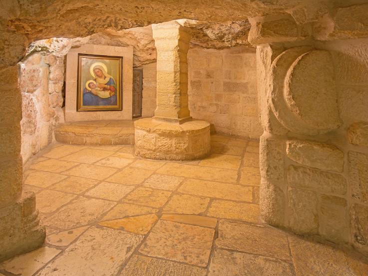
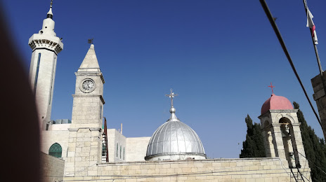
Where is located Bethlehem
Exact location — Bethlehem, Palestinian Territory, marked on the map with a red marker.
Coordinates
Bethlehem, Palestinian Territory coordinates in decimal format: latitude — 31.7053821, longitude — 35.2024425. When converted to degrees, minutes, seconds Bethlehem has the following coordinates: 31°42′19.38 north latitude and 35°12′8.79 east longitude.
Population
Bethlehem, Palestinian Territory, according to our data the population is — 29,019 residents, which is about 0.6% of the total population of the country (Palestinian Territory).
Comparison of the population on the graph:
Exact time
Time zone for this location Bethlehem — UTC +3 Asia/Hebron. Exact time — wednesday, 5 may 2024 year, 11 h. 06 minutes.
Sunrise and sunset
Bethlehem, sunrise and sunset data for a date — wednesday 1.05.2024.
| Sunrise | Sunset | Day (duration) |
|---|---|---|
| 05:56 -0 minutes | 19:16 +1 minute | 13 h. 18 minutes. +1 minute |
You can control the scale of the map using the auxiliary tools to find out exactly where it is located Bethlehem. When you change the scale of the map, the width of the ruler also changes (in kilometers and miles).
Nearby cities
The largest cities that are located nearby:
- Jerusalem
 (Israel) — 7 km
 - Ashdod (Israel) — 53 km
- Ramat Gan (Israel) — 54 km
- Bat Yam (Israel) — 55 km
- Tel Aviv-Yafo (Israel) — 58 km
- Ashqelon (Israel) — 59 km
- Amman
 (Jordan) — 75 km
 - Netanya (Israel) — 76 km
- Irbid (Jordan) — 111 km
- Haifa (Israel) — 122 km
- Tyre
 (Lebanon) — 173 km
 - Damascus
 (Syria) — 224 km
 - Duma (Syria) — 234 km
- Beirut (Lebanon) — 243 km
- Port Said
 (Egypt) — 278 km
 - Ismailia (Egypt) — 305 km
- Tripoli (Lebanon) — 308 km
- Suez (Egypt) — 319 km
- Talkha (Egypt) — 369 km
Distance to neighboring capitals:
- Jerusalem (Israel) — 7 km
- Amman (Jordan) — 76 km
- Damascus (Syria) — 225 km
- Cairo (Egypt) — 421 km
- Baghdad
 (Iraq) — 883 km
 - Riyadh
 (Saudi Arabia) — 1375 km
 - Khartoum
 (Sudan) — 1822 km
 - Tripoli
 (Libya) — 2070 km