San Martin of the Pyramids — Isla Mujeres
San Martin of the Pyramids — La Mira
San Martin of the Pyramids — Santa Catarina
San Martin of the Pyramids — Erongarícuaro
San Martin of the Pyramids — Montitlán
San Martin of the Pyramids — Comitan
San Martin of the Pyramids — Teotihuacan de Arista
San Martin of the Pyramids — T
San Martin of the Pyramids — Palmillas
San Martin of the Pyramids — Nazas
San Martin of the Pyramids — Llano Enmedio
San Martin of the Pyramids — Lamadrid
San Martin of the Pyramids — Santa Ana
San Martin of the Pyramids — Zirahuén
San Martin of the Pyramids — Gallineros
San Martin of the Pyramids — Villa de Aragon
San Martin of the Pyramids — Yahualica
San Martin of the Pyramids — Totutla
San Martin of the Pyramids — La Vega
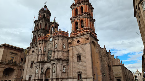
San Martin of the Pyramids — San Luis Potosi distance, route on the map
Distance by car
Distance between San Martin of the Pyramids, Mexico state, Mexico and San Luis Potosi, San Luis Potosi, Mexico by car is — km, or miles. To travel this distance by car, you need minute, or h.
Route on the map, driving directions
Car route San Martin of the Pyramids — San Luis Potosi was created automatically. The road on the map is shown as a blue line. By moving the markers, you can create a new route through the points you need.
Distance by plane
If you decide to take a trip San Martin of the Pyramids San Luis Potosi by plane, then you have to fly the distance — 353 km or 219 miles. It is marked on the map with a gray line (between two points in a straight line).
Flight time
Estimated flight time San Martin of the Pyramids San Luis Potosi by plane at cruising speed 750 km / h will be — 28 min.
Direction of movement
Mexico, San Martin of the Pyramids — right-hand traffic. Mexico, San Luis Potosi — right-hand traffic.
Difference in time
San Martin of the Pyramids and San Luis Potosi are in the same time zone. Between them there is no time difference (UTC -6 America/Mexico_City).
Interesting Facts
Information on alternative ways to get to your destination.
The length of this distance is about 0.9% of the total length of the equator.
The percentage of the population is clearly shown in the graph:
San Martin of the Pyramids — 13,017 (less by 664,709), San Luis Potosi — 677,726 residents.
The cost of travel
Calculate the cost of the trip yourself using the fuel consumption calculator, changing the data in the table.