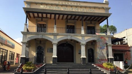
Cuapiaxtla — Galeana Municipality
Cuapiaxtla — Orizatlán
Cuapiaxtla — San José del Cabo
Cuapiaxtla — Loma Alta
Cuapiaxtla — San Miguel Chimalapa
Cuapiaxtla — Campo del Oso
Cuapiaxtla — El Rucio
Cuapiaxtla — San Pedro Abajo
Cuapiaxtla — Guayaquil
Cuapiaxtla — Fundición
Cuapiaxtla — La Concha
Cuapiaxtla — Laredo
Cuapiaxtla — Brisas de Zicatela
Cuapiaxtla — Tonila
Cuapiaxtla — Zamora Pico de Oro
Cuapiaxtla — Papantla
Cuapiaxtla — El Moro
Cuapiaxtla — Tetela de Ocampo
Cuapiaxtla — San Luis Potosi
Tetla
Apizaco
San Miguel Contla
Santa Cruz Tlaxcala
Yauhquemecan
Apetatitlán
Tlaxcala
San Juan Totolac
Panotla
Villa Mariano Matamoros
San Martín Texmelucan de Labastida
Santa Rita Tlahuapan
Cold river Juarez
San Buenaventura
San Marcos Huixtoco
Ixtapaluca
Ixtapaluca
La Paz
Valle de los Reyes
La Paz
Mexico City
Atlacomulco
Mexico City International Airport
Doctors
Volaris
La Marquesa
Salazar
Ocoyoacac
Cuapiaxtla — Lerma de Villada distance, route on the map
Distance by car
Distance between Cuapiaxtla, Tlaxcala, Mexico and Lerma de Villada, Estado de México, Mexico by car is — km, or miles. To travel this distance by car, you need minute, or h.
Route on the map, driving directions
Car route Cuapiaxtla — Lerma de Villada was created automatically. The road on the map is shown as a blue line. By moving the markers, you can create a new route through the points you need.
Passing cities through which the car route passes: Huamantla, Tetla, Apizaco, San Miguel Contla, Santa Cruz Tlaxcala, Yauhquemecan, Apetatitlán, Tlaxcala, San Juan Totolac, Panotla, Villa Mariano Matamoros, San Martín Texmelucan de Labastida, Santa Rita Tlahuapan, Cold river Juarez, San Buenaventura, San Marcos Huixtoco, Ixtapaluca, Ixtapaluca, La Paz, Valle de los Reyes, La Paz, Mexico City, Atlacomulco, Mexico City International Airport, Doctors, Volaris, La Marquesa, Salazar, Ocoyoacac.
Distance by plane
If you decide to take a trip Cuapiaxtla Lerma de Villada by plane, then you have to fly the distance — 183 km or 113 miles. It is marked on the map with a gray line (between two points in a straight line).
Flight time
Estimated flight time Cuapiaxtla Lerma de Villada by plane at cruising speed 750 km / h will be — 14 min.
Direction of movement
Mexico, Cuapiaxtla — right-hand traffic. Mexico, Lerma de Villada — right-hand traffic.
Difference in time
Cuapiaxtla and Lerma de Villada are in the same time zone. Between them there is no time difference (UTC -6 America/Mexico_City).
Interesting Facts
Information on alternative ways to get to your destination.
The length of this distance is about 0.5% of the total length of the equator.
The percentage of the population is clearly shown in the graph:
Cuapiaxtla — 7,147 (less by 10,998), Lerma de Villada — 18,145 residents.
The cost of travel
Calculate the cost of the trip yourself using the fuel consumption calculator, changing the data in the table.