
 Sant Cugat del Vallès
Narón
Villarejo de Salvanés
Colmenar Viejo
Orga
Campofrío
Molíns
Palos de la Frontera
Gavà
Bergara
Mancha Real
Fuente Álamo
Grandes
Used
San Miguel
Salcedo
Premià de Mar
Granja de Torrehermosa
Armenteros
Sant Cugat del Vallès
Narón
Villarejo de Salvanés
Colmenar Viejo
Orga
Campofrío
Molíns
Palos de la Frontera
Gavà
Bergara
Mancha Real
Fuente Álamo
Grandes
Used
San Miguel
Salcedo
Premià de Mar
Granja de Torrehermosa
Armenteros
Portugalete on the map, Spain
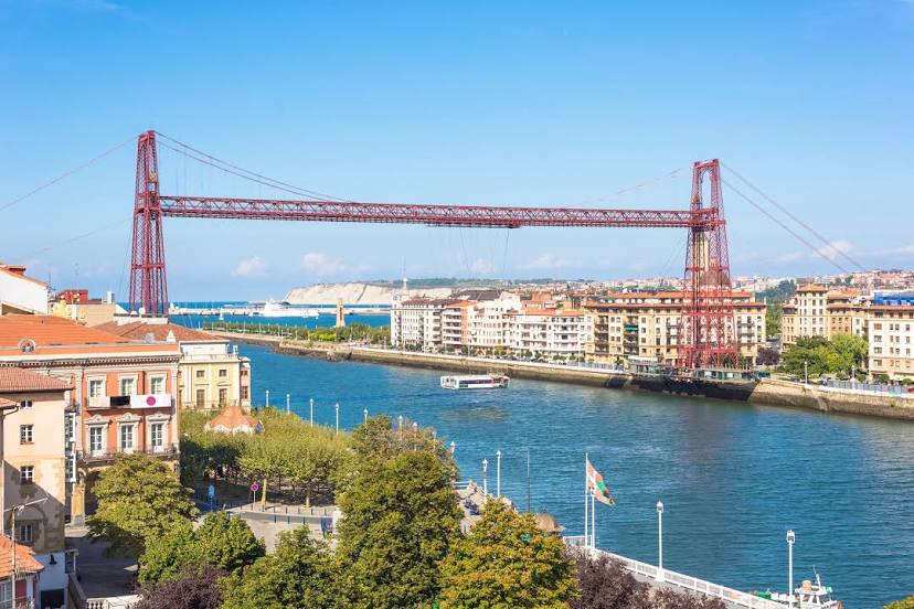
Where is located Portugalete
Exact location — Portugalete, Bizkaia, Euskadi, Spain, marked on the map with a red marker.
Coordinates
Portugalete, Spain coordinates in decimal format: latitude — 43.3182479, longitude — -3.0211969. When converted to degrees, minutes, seconds Portugalete has the following coordinates: 43°19′5.69 north latitude and -3°1′16.31 east longitude.
Population
Portugalete, Bizkaia, Euskadi, Spain, according to our data the population is — 50,964 residents, which is about 0.1% of the total population of the country (Spain).
Comparison of the population on the graph:
Exact time
Time zone for this location Portugalete — UTC +2 Europe/Madrid. Exact time — saturday, 5 may 2024 year, 10 h. 29 minutes.
Sunrise and sunset
Portugalete, sunrise and sunset data for a date — saturday 11.05.2024.
| Sunrise | Sunset | Day (duration) |
|---|---|---|
| 06:55 -1 minute | 21:21 +1 minute | 14 h. 24 minutes. +2 minutes |
You can control the scale of the map using the auxiliary tools to find out exactly where it is located Portugalete. When you change the scale of the map, the width of the ruler also changes (in kilometers and miles).
Nearby cities
The largest cities that are located nearby:
- Bilbao — 9 km
- Vitoria-Gasteiz — 58 km
- Santander — 65 km
- San Sebastián — 84 km
- Logroño — 106 km
- Burgos — 121 km
- Pamplona — 125 km
- Gijón — 213 km
- León — 222 km
- Oviedo — 227 km
- Valladolid — 232 km
- Bordeaux
 (France) — 255 km
 - Zaragoza — 255 km
- Alcobendas — 312 km
- Alcala de Henares — 315 km
- Torrejón de Ardoz — 319 km
- Alcorcón — 335 km
- Leganés — 336 km
- Getafe — 338 km
Distance to neighboring capitals:
- Andorra la Vella
 (Andorra) — 381 km
 - Lisbon
 (Portugal) — 724 km
 - Paris (France) — 742 km
- Paris (France) — 742 km
- Rabat
 (Morocco) — 1091 km
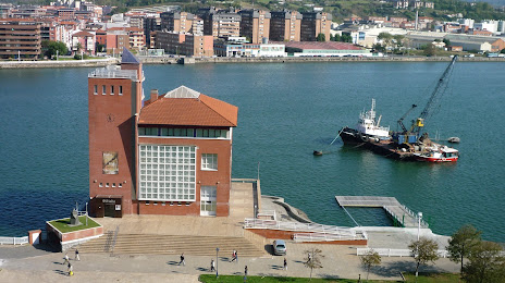
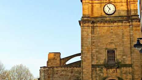
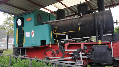
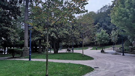
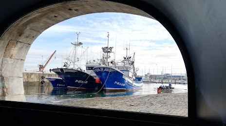
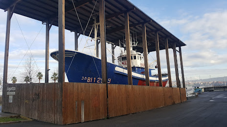
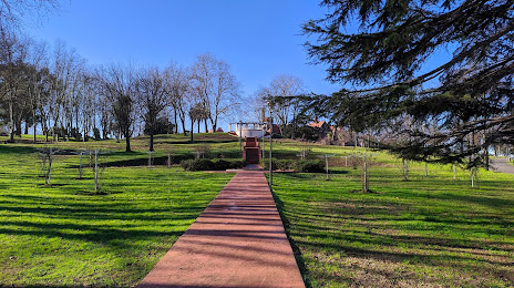
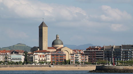
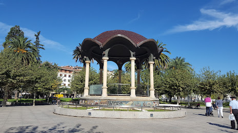
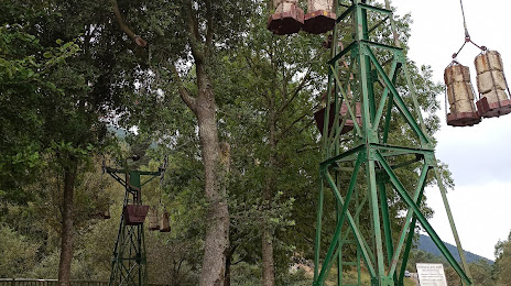
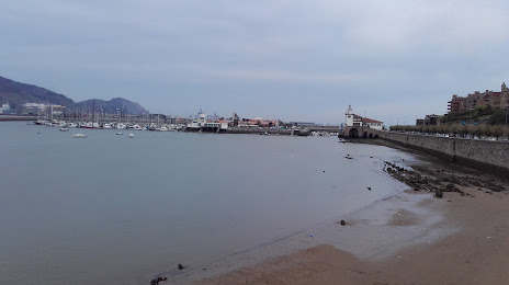
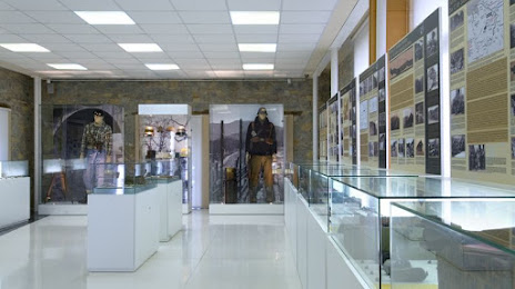
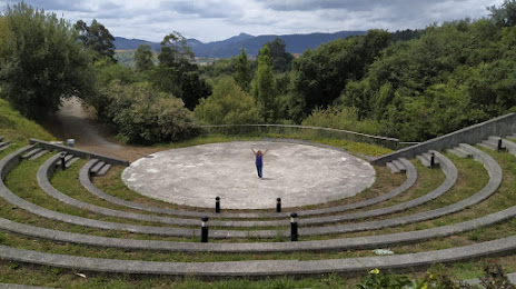
Attractions


Distance to the capital
Distance to the capital (Madrid) is about — 328 km.