
 Torrejoncillo
Casillas
La Peña
Alicante
Escalada
Seruseda
Carcelen
Castrelo do Val
Barcelona
San Martin
Llama
Gipuzkoa
Maria de la Salut
Alicante
Irun
Oyarzun
León
Tahal
San Vicente de la Barquera
Torrejoncillo
Casillas
La Peña
Alicante
Escalada
Seruseda
Carcelen
Castrelo do Val
Barcelona
San Martin
Llama
Gipuzkoa
Maria de la Salut
Alicante
Irun
Oyarzun
León
Tahal
San Vicente de la Barquera
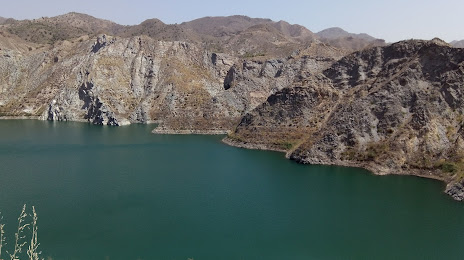
Vera on the map, Spain
Where is located Vera
Exact location — Vera, Almería, Andalucía, Spain, marked on the map with a red marker.
Coordinates
Vera, Spain coordinates in decimal format: latitude — 37.2476803, longitude — -1.8679197. When converted to degrees, minutes, seconds Vera has the following coordinates: 37°14′51.65 north latitude and -1°52′4.51 east longitude.
Population
Vera, Almería, Andalucía, Spain, according to our data the population is — 13,985 residents, which is about 0% of the total population of the country (Spain).
Comparison of the population on the graph:
Exact time
Time zone for this location Vera — UTC +2 Europe/Madrid. Exact time — saturday, 5 may 2024 year, 08 h. 23 minutes.
Sunrise and sunset
Vera, sunrise and sunset data for a date — saturday 4.05.2024.
| Sunrise | Sunset | Day (duration) |
|---|---|---|
| 07:11 -1 minute | 20:56 +1 minute | 13 h. 48 minutes. +2 minutes |
You can control the scale of the map using the auxiliary tools to find out exactly where it is located Vera. When you change the scale of the map, the width of the ruler also changes (in kilometers and miles).
Nearby cities
The largest cities that are located nearby:
- Almería — 70 km
- Cartagena — 87 km
- Murcia — 104 km
- Granada — 153 km
- Jaén — 178 km
- Albacete — 193 km
- Oran
 (Algeria) — 204 km
 - Málaga — 234 km
- Nador
 (Morocco) — 249 km
 - Sidi Bel Abbes (Algeria) — 252 km
- Córdoba — 264 km
- Tlemcen (Algeria) — 266 km
- Relizane (Algeria) — 274 km
- Valencia — 277 km
- Marbella — 280 km
- Oujda (Morocco) — 283 km
- Chlef (Algeria) — 310 km
- Saida (Algeria) — 323 km
- Algeciras — 343 km
Distance to neighboring capitals:
- Rabat (Morocco) — 579 km
- Andorra la Vella
 (Andorra) — 652 km
 - Lisbon
 (Portugal) — 658 km
 - Paris
 (France) — 1335 km
 - Paris (France) — 1335 km
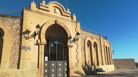
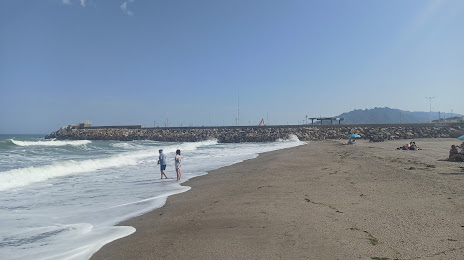
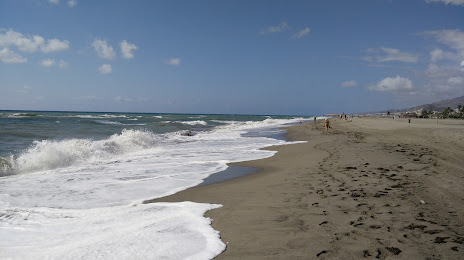
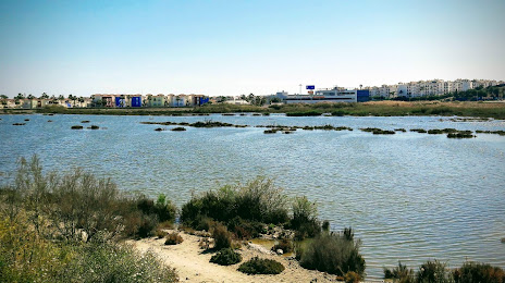
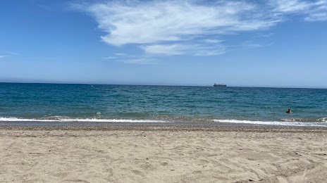
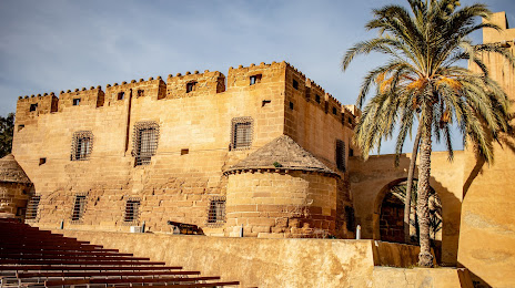
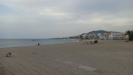
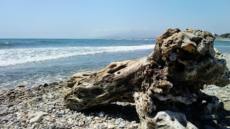
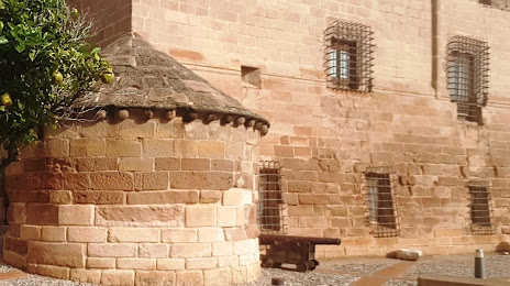
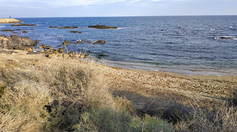
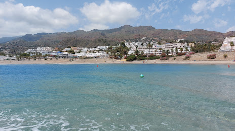
Attractions


Distance to the capital
Distance to the capital (Madrid) is about — 387 km.