
 Ganemulla
Mirissa
Aluthgama
Deniyaya
Nuwara Eliya
Avissawella
Matara
Padukka
Bandaranaike International Airport
Aparekka
Ahungalla
Wadduwa
Nattandiya
Chilaw
Sigiriya
Deltota
Tissamaharama
Kitulgala
Haputale
Ganemulla
Mirissa
Aluthgama
Deniyaya
Nuwara Eliya
Avissawella
Matara
Padukka
Bandaranaike International Airport
Aparekka
Ahungalla
Wadduwa
Nattandiya
Chilaw
Sigiriya
Deltota
Tissamaharama
Kitulgala
Haputale
Vavuniya on the map, Sri Lanka
Where is located Vavuniya
Exact location — Vavuniya, Vavuniya, Northern Province, Sri Lanka, marked on the map with a red marker.
Coordinates
Vavuniya, Sri Lanka coordinates in decimal format: latitude — 8.7381572, longitude — 80.4771472. When converted to degrees, minutes, seconds Vavuniya has the following coordinates: 8°44′17.37 north latitude and 80°28′37.73 east longitude.
Population
Vavuniya, Vavuniya, Northern Province, Sri Lanka, according to our data the population is — 60,176 residents, which is about 0.3% of the total population of the country (Sri Lanka).
Comparison of the population on the graph:
Exact time
Time zone for this location Vavuniya — UTC +5.5 Asia/Colombo. Exact time — saturday, 6 june 2024 year, 12 h. 38 minutes.
Sunrise and sunset
Vavuniya, sunrise and sunset data for a date — saturday 15.06.2024.
| Sunrise | Sunset | Day (duration) |
|---|---|---|
| 05:52 -0 minutes | 18:25 +1 minute | 12 h. 36 minutes. +1 minute |
You can control the scale of the map using the auxiliary tools to find out exactly where it is located Vavuniya. When you change the scale of the map, the width of the ruler also changes (in kilometers and miles).
Nearby cities
The largest cities that are located nearby:
- Trincomalee — 80 km
- Jaffna — 113 km
- Kandy — 161 km
- Negombo — 182 km
- Colombo — 211 km
- Moratuwa — 225 km
- Thanjavur
 (India) — 269 km
 - Kumbakonam (India) — 273 km
- Madurai (India) — 288 km
- Tirunelveli (India) — 297 km
- Tiruchirappalli (India) — 298 km
- Nagercoil (India) — 341 km
- Cuddalore (India) — 342 km
- Puducherry (India) — 358 km
- Thiruvananthapuram (India) — 388 km
- Salem (India) — 410 km
- Tiruvannamalai (India) — 414 km
- Erode (India) — 416 km
- Kollam (India) — 422 km
Distance to neighboring capitals:
- Dhaka
 (Bangladesh) — 1982 km
 - Kathmandu
 (Nepal) — 2170 km
 - New Delhi (India) — 2237 km
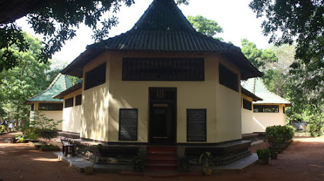
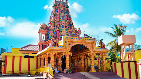
Attractions
Distance to the capital
Distance to the capital (Colombo) is about — 213 km.