 Périgord
Pelham
Martindale
Boulay
Delta
Newfoundland and Labrador
Port Nelson
Edgeley
Vaudreuil-Dorion
Harmony
Prentiss
Lake Newell Resort
Sherbrooke
Sturgeon Bay
Ontario
West Kelowna
Fogo
Madran
Athens
Périgord
Pelham
Martindale
Boulay
Delta
Newfoundland and Labrador
Port Nelson
Edgeley
Vaudreuil-Dorion
Harmony
Prentiss
Lake Newell Resort
Sherbrooke
Sturgeon Bay
Ontario
West Kelowna
Fogo
Madran
Athens
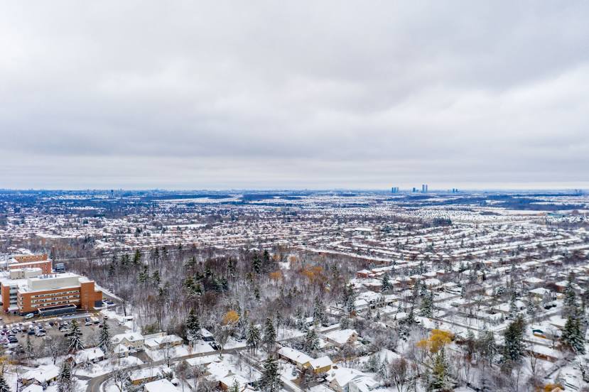
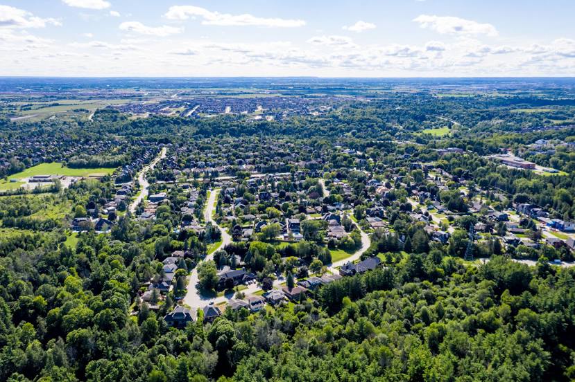
Vaughan on the map, Canada
Where is located Vaughan
Exact location — Vaughan, Regional Municipality of York, Ontario, Canada, marked on the map with a red marker.
Coordinates
Vaughan, Canada coordinates in decimal format: latitude — 43.8372079, longitude — -79.508276. When converted to degrees, minutes, seconds Vaughan has the following coordinates: 43°50′13.95 north latitude and -79°30′29.79 east longitude.
Population
Vaughan, Regional Municipality of York, Ontario, Canada, according to our data the population is — 238,866 residents, which is about 0.6% of the total population of the country (Canada).
Comparison of the population on the graph:
Exact time
Time zone for this location Vaughan — UTC -4 America/Toronto. Exact time — thursday, 5 may 2024 year, 20 h. 49 minutes.
Sunrise and sunset
Vaughan, sunrise and sunset data for a date — thursday 9.05.2024.
| Sunrise | Sunset | Day (duration) |
|---|---|---|
| 06:01 -2 minutes | 20:27 +2 minutes | 14 h. 24 minutes. +4 minutes |
You can control the scale of the map using the auxiliary tools to find out exactly where it is located Vaughan. When you change the scale of the map, the width of the ruler also changes (in kilometers and miles).
Nearby cities
The largest cities that are located nearby:
- Richmond Hill — 7 km
- Markham — 14 km
- Toronto — 23 km
- Brampton — 23 km
- Mississauga — 30 km
- Oakville — 43 km
- Whitby — 46 km
- Oshawa — 52 km
- Burlington — 61 km
- Barrie — 63 km
- Guelph — 68 km
- Hamilton — 71 km
- Saint Catharines — 78 km
- Cambridge — 83 km
- Kitchener — 91 km
- Waterloo — 91 km
- Amherst
 (United States) — 112 km
 - Buffalo (United States) — 117 km
- Boston (United States) — 148 km
Distance to neighboring capitals:
- Washington (United States) — 586 km
- Nuuk
 (Greenland) — 2853 km
 - Saint John
 (Puerto Rico) — 3087 km
 - Mexico City
 (Mexico) — 3271 km
 - Belgrade
 (Serbia) — 7392 km
 - Podgorica
 (Montenegro) — 7483 km
 - Hagåtña
 (Guam) — 12228 km
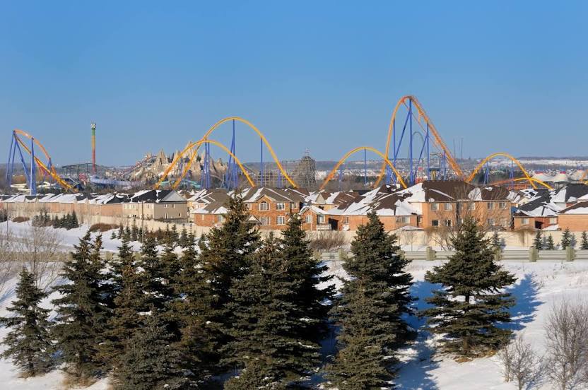
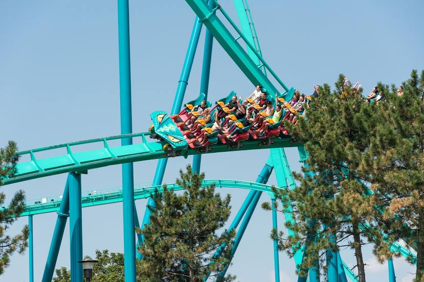
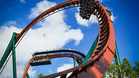
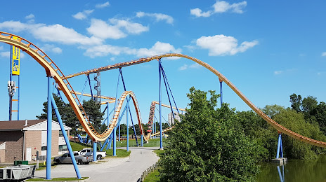
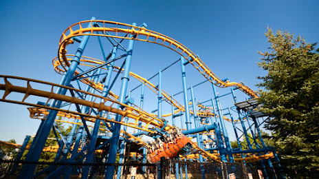
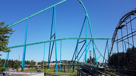
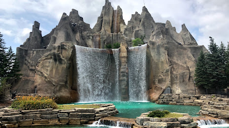
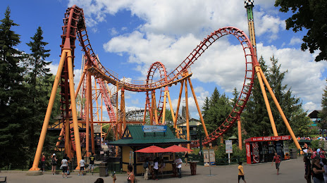
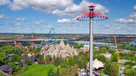
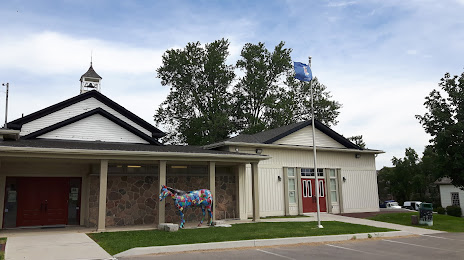
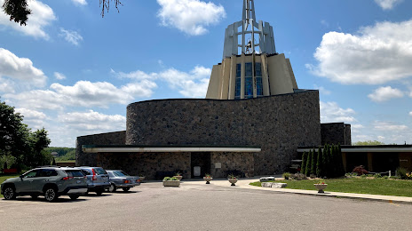
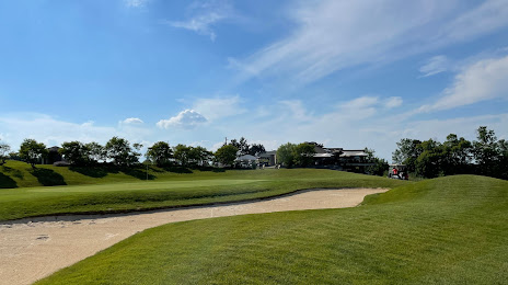
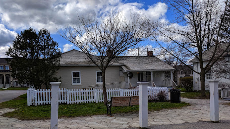
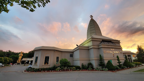
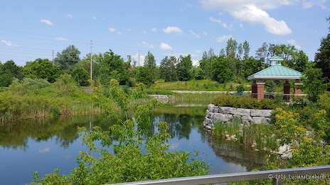
Attractions


Distance to the capital
Distance to the capital (Ottawa) is about — 349 km.